87 Humphrey Rd Sundance, WY 82729
Estimated Value: $300,000 - $429,866
2
Beds
2
Baths
1,344
Sq Ft
$283/Sq Ft
Est. Value
About This Home
This home is located at 87 Humphrey Rd, Sundance, WY 82729 and is currently estimated at $379,955, approximately $282 per square foot. 87 Humphrey Rd is a home with nearby schools including Hulett School, Bear Lodge High School, and Sundance Secondary School.
Ownership History
Date
Name
Owned For
Owner Type
Purchase Details
Closed on
Nov 15, 2013
Sold by
Kenyon Joann
Bought by
Sipes Katrina
Current Estimated Value
Home Financials for this Owner
Home Financials are based on the most recent Mortgage that was taken out on this home.
Original Mortgage
$187,000
Outstanding Balance
$140,062
Interest Rate
4.34%
Mortgage Type
New Conventional
Estimated Equity
$239,894
Create a Home Valuation Report for This Property
The Home Valuation Report is an in-depth analysis detailing your home's value as well as a comparison with similar homes in the area
Home Values in the Area
Average Home Value in this Area
Purchase History
| Date | Buyer | Sale Price | Title Company |
|---|---|---|---|
| Sipes Katrina | -- | None Available |
Source: Public Records
Mortgage History
| Date | Status | Borrower | Loan Amount |
|---|---|---|---|
| Open | Sipes Katrina | $187,000 |
Source: Public Records
Tax History Compared to Growth
Tax History
| Year | Tax Paid | Tax Assessment Tax Assessment Total Assessment is a certain percentage of the fair market value that is determined by local assessors to be the total taxable value of land and additions on the property. | Land | Improvement |
|---|---|---|---|---|
| 2025 | $1,537 | $18,376 | $7,010 | $11,366 |
| 2024 | $1,537 | $23,931 | $9,347 | $14,584 |
| 2023 | $1,326 | $24,585 | $10,551 | $14,034 |
| 2022 | $1,326 | $21,217 | $6,705 | $14,512 |
| 2021 | $1,264 | $20,220 | $5,670 | $14,550 |
| 2020 | $1,085 | $17,356 | $5,926 | $11,430 |
| 2019 | -- | $16,950 | $5,907 | $11,043 |
| 2018 | $0 | $15,246 | $6,145 | $9,101 |
| 2017 | $0 | $15,155 | $2,104 | $13,051 |
| 2016 | -- | $13,630 | $2,221 | $11,409 |
| 2015 | -- | $15,910 | $6,554 | $9,356 |
| 2014 | -- | $18,151 | $6,554 | $11,597 |
Source: Public Records
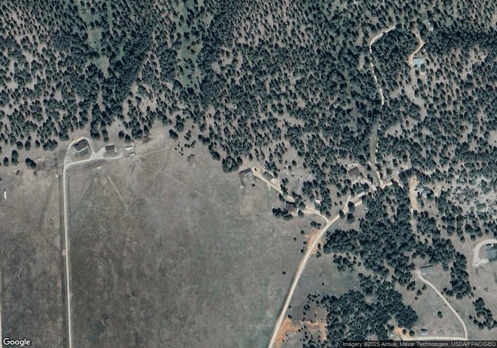
Map
Nearby Homes
- 138 Commercial Ln
- 0000 Commercial Ln
- 145 Vista Cir
- 46B Two Pipe Trail
- Tbd Sugarloaf Ct
- 315 E Sewell St
- 3 W Mountain View Dr
- 119 W Thompson St
- 922 S West St
- 305 S 5th St
- 330 U S 14
- Tbd Sugar Loaf Ct
- L1 High Mile Rd
- L3 High Mile Rd
- 1114 Patriot Place
- 1115 Bowers Rd
- TBD E Cleveland St
- TBD S 11th St
- TBD Reynolds Rd
- 140 Cow Camp Rd
- 85 Humphrey Rd
- 91 Humphrey Rd
- 45 Humphrey Rd
- 96 Humphrey Rd
- 62 Longabaugh Rd
- 124 Humphrey Rd
- 11 Sundance Kid Cir
- 84 Longabaugh Rd
- 5 Sundance Kid Cir
- 41 Humphrey Rd
- 37 Humphrey Rd
- 10 Sundance Kid Cir
- 62 Butch Cassidy St
- 65 Butch Cassidy St
- 4 Sundance Kid Cir
- 52 Butch Cassidy St
- 45 Longabaugh Rd
- 26 Humphrey Rd
- 59 Butch Cassidy St
- 50 Butch Cassidy St