87 Josie Ln Blairsville, GA 30512
Estimated Value: $442,000 - $546,475
3
Beds
2
Baths
1,728
Sq Ft
$290/Sq Ft
Est. Value
About This Home
This home is located at 87 Josie Ln, Blairsville, GA 30512 and is currently estimated at $500,869, approximately $289 per square foot. 87 Josie Ln is a home with nearby schools including Union County Primary School, Union County Elementary School, and Union County Middle School.
Ownership History
Date
Name
Owned For
Owner Type
Purchase Details
Closed on
Sep 3, 2021
Sold by
Rizzitello Tracey
Bought by
Rangel Anthony F and Rangel Destiny
Current Estimated Value
Home Financials for this Owner
Home Financials are based on the most recent Mortgage that was taken out on this home.
Original Mortgage
$296,275
Outstanding Balance
$269,186
Interest Rate
2.7%
Mortgage Type
FHA
Estimated Equity
$231,683
Purchase Details
Closed on
Jan 3, 2006
Sold by
Holliday Paul S
Bought by
Cuevas Guillermo F and Cuevas Rizzitello Tracey
Create a Home Valuation Report for This Property
The Home Valuation Report is an in-depth analysis detailing your home's value as well as a comparison with similar homes in the area
Home Values in the Area
Average Home Value in this Area
Purchase History
| Date | Buyer | Sale Price | Title Company |
|---|---|---|---|
| Rangel Anthony F | $65,000 | -- | |
| Cuevas Guillermo F | $120,000 | -- |
Source: Public Records
Mortgage History
| Date | Status | Borrower | Loan Amount |
|---|---|---|---|
| Open | Rangel Anthony F | $296,275 |
Source: Public Records
Tax History Compared to Growth
Tax History
| Year | Tax Paid | Tax Assessment Tax Assessment Total Assessment is a certain percentage of the fair market value that is determined by local assessors to be the total taxable value of land and additions on the property. | Land | Improvement |
|---|---|---|---|---|
| 2024 | $2,426 | $205,400 | $37,960 | $167,440 |
| 2023 | $2,654 | $199,360 | $37,960 | $161,400 |
| 2022 | $346 | $35,160 | $35,160 | $0 |
| 2021 | $554 | $35,160 | $35,160 | $0 |
| 2020 | $219 | $11,582 | $11,582 | $0 |
| 2019 | $207 | $11,582 | $11,582 | $0 |
| 2018 | $203 | $11,582 | $11,582 | $0 |
| 2017 | $203 | $11,582 | $11,582 | $0 |
| 2016 | $204 | $11,582 | $11,582 | $0 |
| 2015 | $205 | $11,582 | $11,582 | $0 |
| 2013 | -- | $11,581 | $11,581 | $0 |
Source: Public Records
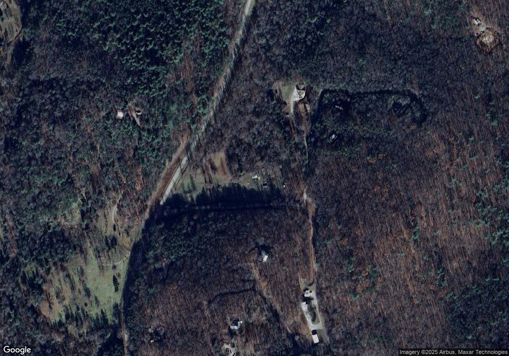
Map
Nearby Homes
- 187 Bierce Dr
- 1249 Trackrock Gap Rd
- 82 Rileigh Ridge
- Lot 54 The Preserve
- Lot 228 the Cove @ 1300
- 7 Spring Rd
- 307 Plott Town Overlook
- 261 Spring Rd
- Lt 19 Bitter Creek Rd
- 2165 Townsend Mill Rd
- 65 Jenkins Trail
- Lot 36 Sanctuary Dr
- LOT22 Bryant Cove Rd
- LOT21 Bryant Cove Rd
- LOT20 Bryant Cove Rd
- 196 Wildwind Ln
- 1631 Woods Valley Rd
- 000 Trackrock Gap Rd
- 1628 Woods Valley Rd
- 11,12 Mountain Laurel Estate
- 260 Josie Ln
- 4 & 5 Josie Ln
- 182 Josie Ln
- 86 Josie Ln
- LOT 8 Josie Ln
- 5260 Josie Ln
- 474 Trackrock Acres
- 302 Trackrock Acres
- 320 Buford Dr
- 320 Buford Dr
- LT 23 Trackrock Valley
- 0 Trackrock Acres Unit 217161
- 0 Trackrock Acres Unit 8114001
- 10 Trackrock Acres
- 5 Trackrock Acres
- 4 Trackrock Acres
- 1 Trackrock Acres
- 0 Trackrock Acres
- 30 Trackrock Acres
- # 14 Meadow Ridge