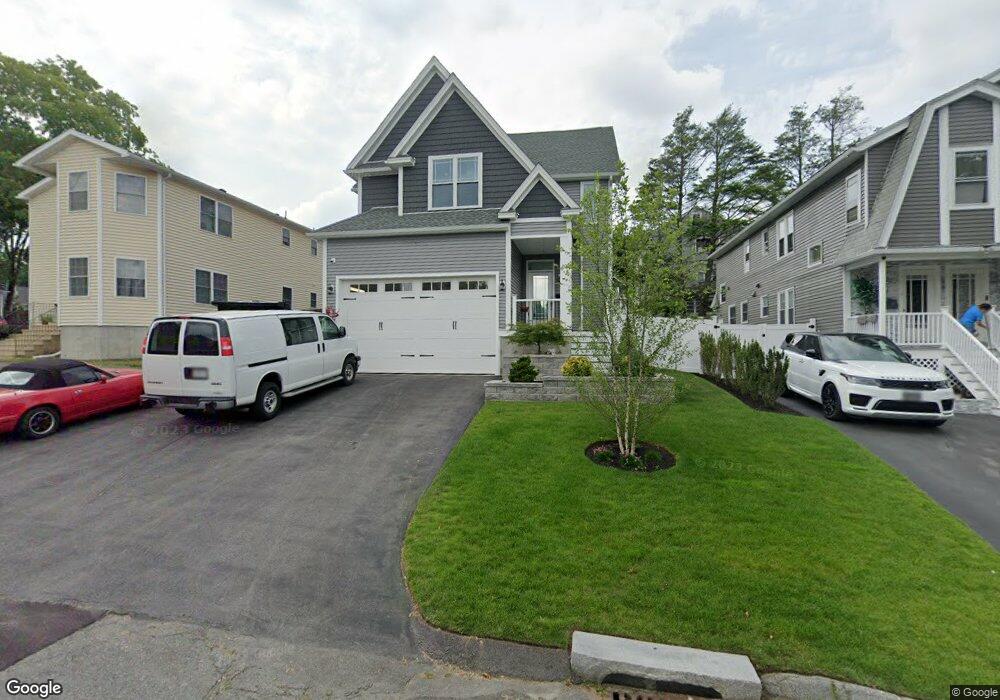
87 Kenberma Rd Worcester, MA 01604
Union HIll NeighborhoodEstimated Value: $506,000 - $654,000
3
Beds
3
Baths
2,440
Sq Ft
$234/Sq Ft
Est. Value
About This Home
This home is located at 87 Kenberma Rd, Worcester, MA 01604 and is currently estimated at $571,686, approximately $234 per square foot. 87 Kenberma Rd is a home with nearby schools including Jacob Hiatt Magnet School, Chandler Magnet, and Rice Square Elementary School.
Ownership History
Date
Name
Owned For
Owner Type
Purchase Details
Closed on
Mar 11, 2019
Sold by
Ward Matthew
Bought by
Ward Matthew N and Ward Kaila M
Current Estimated Value
Purchase Details
Closed on
Jul 13, 2018
Sold by
Mahassel John R
Bought by
Ward Matthew
Purchase Details
Closed on
Nov 4, 2002
Sold by
Mahassel John R
Bought by
89 Kenberma Rt and Mahassel
Create a Home Valuation Report for This Property
The Home Valuation Report is an in-depth analysis detailing your home's value as well as a comparison with similar homes in the area
Home Values in the Area
Average Home Value in this Area
Purchase History
| Date | Buyer | Sale Price | Title Company |
|---|---|---|---|
| Ward Matthew N | -- | -- | |
| Ward Matthew | $28,000 | -- | |
| 89 Kenberma Rt | $10,000 | -- | |
| 89 Kenberma Rt | $10,000 | -- |
Source: Public Records
Tax History
| Year | Tax Paid | Tax Assessment Tax Assessment Total Assessment is a certain percentage of the fair market value that is determined by local assessors to be the total taxable value of land and additions on the property. | Land | Improvement |
|---|---|---|---|---|
| 2025 | $7,525 | $570,500 | $44,700 | $525,800 |
| 2024 | $7,374 | $536,300 | $44,700 | $491,600 |
| 2023 | $7,203 | $502,300 | $38,800 | $463,500 |
| 2022 | $6,796 | $446,800 | $31,100 | $415,700 |
| 2021 | $6,929 | $425,600 | $24,900 | $400,700 |
| 2020 | $3,063 | $180,200 | $24,900 | $155,300 |
| 2019 | $446 | $24,800 | $22,400 | $2,400 |
| 2018 | $469 | $24,800 | $22,400 | $2,400 |
| 2017 | $477 | $24,800 | $22,400 | $2,400 |
| 2016 | $392 | $19,000 | $16,600 | $2,400 |
| 2015 | $381 | $19,000 | $16,600 | $2,400 |
| 2014 | $371 | $19,000 | $16,600 | $2,400 |
Source: Public Records
Map
Nearby Homes
- 5 Everton Ave
- 83 Massasoit Rd
- 20 Brightwood Ave
- 429 Grafton St Unit 2
- 62 Allston Ave
- 41 Bridgeport St
- 32 Granite St
- 59 Barclay St
- 57 Cutler St
- 49 South St
- 26 South St
- 143 Dorcester
- 20 Bolton St
- 15 Houghton St Unit 9
- 16 Arborwood Dr
- 103 Hamilton St
- 21 Mott St
- 80 Delmont Ave
- 112 Harrison St
- 155 Hamilton St Unit 4
- 89 Kenberma Rd
- 85 Kenberma Rd
- 85 Kenberma Rd Unit 1
- 85 Kenberma Rd Unit 2
- 122 Heywood St
- 91 Kenberma Rd
- 120 Heywood St
- 124 Heywood St
- 124 Heywood St Unit 2
- 118 Heywood St
- 118 Heywood St Unit 1
- 126 Heywood St
- 1 Dearborn St
- 93 Kenberma Rd
- 84 Kenberma Rd
- 82 Kenberma Rd
- 88 Kenberma Rd
- 88 Kenberma Rd Unit 2
- 112 Heywood St
- 128 Heywood St
Your Personal Tour Guide
Ask me questions while you tour the home.