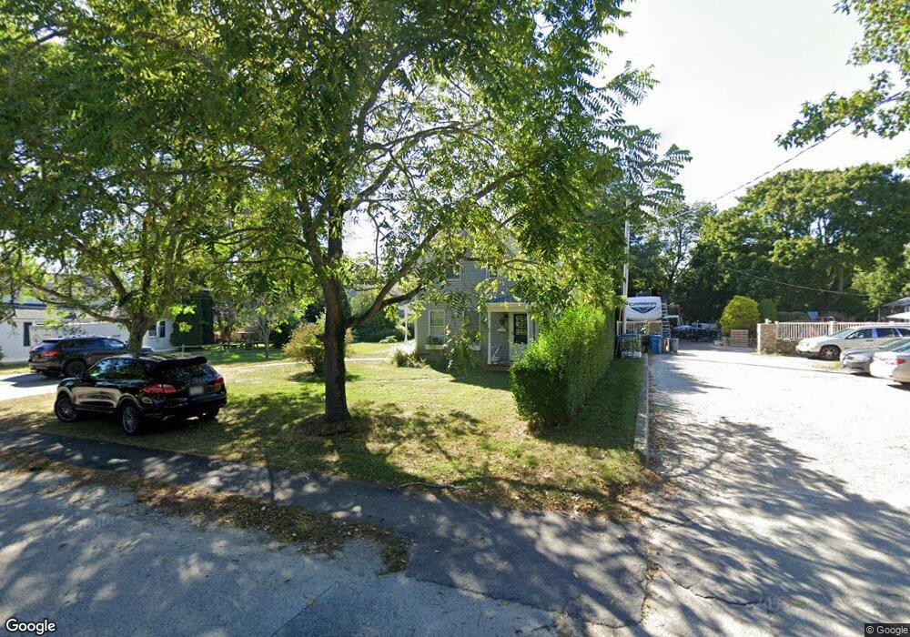
87 King St Falmouth, MA 02540
Falmouth Village NeighborhoodEstimated Value: $664,000 - $874,000
2
Beds
2
Baths
1,195
Sq Ft
$625/Sq Ft
Est. Value
About This Home
This home is located at 87 King St, Falmouth, MA 02540 and is currently estimated at $747,102, approximately $625 per square foot. 87 King St is a home located in Barnstable County with nearby schools including Mullen-Hall School, Lawrence School, and Morse Pond School.
Ownership History
Date
Name
Owned For
Owner Type
Purchase Details
Closed on
Nov 13, 2009
Sold by
Patrick Megan E
Bought by
King Street Rt and Patrick
Current Estimated Value
Purchase Details
Closed on
May 6, 2003
Sold by
Bertha M Woodward T M and Bertha Woodward
Bought by
Patrick Megan E
Home Financials for this Owner
Home Financials are based on the most recent Mortgage that was taken out on this home.
Original Mortgage
$240,000
Interest Rate
5.82%
Mortgage Type
Purchase Money Mortgage
Create a Home Valuation Report for This Property
The Home Valuation Report is an in-depth analysis detailing your home's value as well as a comparison with similar homes in the area
Home Values in the Area
Average Home Value in this Area
Purchase History
| Date | Buyer | Sale Price | Title Company |
|---|---|---|---|
| King Street Rt | -- | -- | |
| Patrick Megan E | $300,000 | -- |
Source: Public Records
Mortgage History
| Date | Status | Borrower | Loan Amount |
|---|---|---|---|
| Previous Owner | Patrick Megan E | $240,000 |
Source: Public Records
Tax History Compared to Growth
Tax History
| Year | Tax Paid | Tax Assessment Tax Assessment Total Assessment is a certain percentage of the fair market value that is determined by local assessors to be the total taxable value of land and additions on the property. | Land | Improvement |
|---|---|---|---|---|
| 2025 | $3,464 | $590,100 | $354,600 | $235,500 |
| 2024 | $3,359 | $534,800 | $322,400 | $212,400 |
| 2023 | $3,449 | $498,400 | $322,400 | $176,000 |
| 2022 | $3,734 | $463,800 | $294,000 | $169,800 |
| 2021 | $3,561 | $418,900 | $281,200 | $137,700 |
| 2020 | $3,379 | $393,400 | $255,700 | $137,700 |
| 2019 | $3,328 | $388,800 | $255,700 | $133,100 |
| 2018 | $3,214 | $373,700 | $255,700 | $118,000 |
| 2017 | $3,148 | $369,000 | $255,700 | $113,300 |
| 2016 | $3,089 | $369,000 | $255,700 | $113,300 |
| 2015 | $3,022 | $369,000 | $255,700 | $113,300 |
| 2014 | $3,033 | $372,200 | $255,700 | $116,500 |
Source: Public Records
Map
Nearby Homes
- 480 Main St Unit 1
- 65 Walker St
- 253 Scranton Ave
- 98 Main St
- 98 Main St Unit 1
- 110 Dillingham Ave Unit 322
- 110 Dillingham Ave Unit 224
- 71 Main St
- 30 Katherine Lee Bates Rd
- 33 Oakwood Ave
- 55 Jericho Path
- 9 Fairmount Ave Unit 1
- 9 Fairmount Ave
- 22 Alma Rd
- 15 Hedge Ln
- 286 Grand Ave Unit 6
- 286 Grand Ave Unit 8
- 286 Grand Ave Unit 4
- 354 Gifford St Unit 5
- 354 Gifford St Unit 2