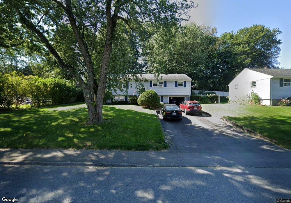
87 Leoleis Dr Marlborough, MA 01752
Estimated Value: $540,000 - $634,000
3
Beds
2
Baths
1,248
Sq Ft
$468/Sq Ft
Est. Value
About This Home
This home is located at 87 Leoleis Dr, Marlborough, MA 01752 and is currently estimated at $584,473, approximately $468 per square foot. 87 Leoleis Dr is a home located in Middlesex County with nearby schools including Marlborough High School, Advanced Math & Science Academy, and New Covenant Christian School.
Ownership History
Date
Name
Owned For
Owner Type
Purchase Details
Closed on
Jun 27, 1991
Sold by
Duguay Roger J
Bought by
Sullivan John and Sullivan Miette
Current Estimated Value
Purchase Details
Closed on
Apr 26, 1988
Sold by
Duguay Ft
Bought by
Duguay Roger J
Create a Home Valuation Report for This Property
The Home Valuation Report is an in-depth analysis detailing your home's value as well as a comparison with similar homes in the area
Home Values in the Area
Average Home Value in this Area
Purchase History
| Date | Buyer | Sale Price | Title Company |
|---|---|---|---|
| Sullivan John | $138,000 | -- | |
| Sullivan John | $138,000 | -- | |
| Duguay Roger J | $173,000 | -- |
Source: Public Records
Mortgage History
| Date | Status | Borrower | Loan Amount |
|---|---|---|---|
| Open | Duguay Roger J | $196,000 | |
| Closed | Duguay Roger J | $37,000 |
Source: Public Records
Tax History Compared to Growth
Tax History
| Year | Tax Paid | Tax Assessment Tax Assessment Total Assessment is a certain percentage of the fair market value that is determined by local assessors to be the total taxable value of land and additions on the property. | Land | Improvement |
|---|---|---|---|---|
| 2025 | $4,900 | $497,000 | $223,500 | $273,500 |
| 2024 | $4,782 | $467,000 | $203,100 | $263,900 |
| 2023 | $4,999 | $433,200 | $173,000 | $260,200 |
| 2022 | $4,879 | $371,900 | $164,800 | $207,100 |
| 2021 | $220 | $344,400 | $137,300 | $207,100 |
| 2020 | $210 | $328,800 | $130,800 | $198,000 |
| 2019 | $4,545 | $323,000 | $128,100 | $194,900 |
| 2018 | $4,608 | $315,000 | $105,500 | $209,500 |
| 2017 | $4,581 | $299,000 | $103,800 | $195,200 |
| 2016 | $4,484 | $292,300 | $103,800 | $188,500 |
| 2015 | $4,096 | $259,900 | $106,500 | $153,400 |
Source: Public Records
Map
Nearby Homes
- 273 W Main St Unit B12
- 30 Broad St Unit 104
- 30A Winter Ave
- 76 Broad St
- 11 Paris St
- 39 Desimone Dr
- 102 Liberty St
- 115 W Main St
- 32 Water St
- 61 Fairmount St Unit 11
- 2 Adams St
- 156 Chestnut St
- 11 Whispering Brook Rd Unit 55
- 87 Neil St
- 110 Pleasant St Unit 401
- 72 Chestnut St
- 111 Howe St
- 53 Mechanic St
- 3 Madison St
- 118 Elm St