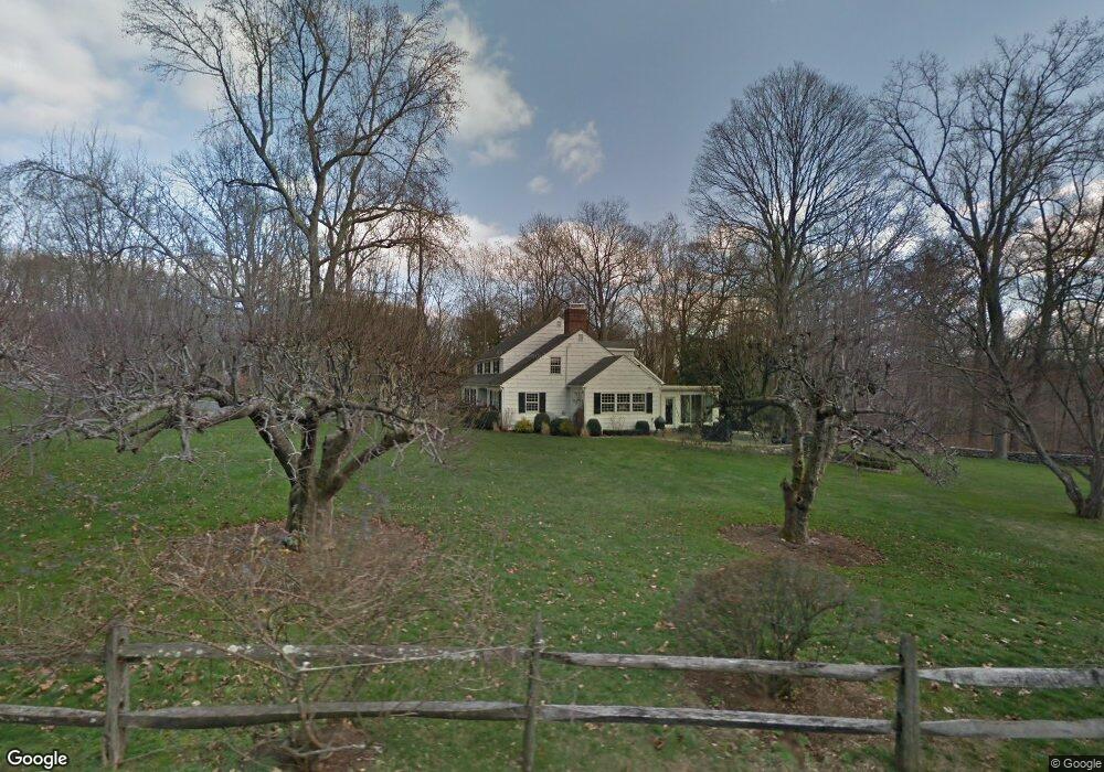
87 Lone Tree Farm Rd New Canaan, CT 06840
Estimated Value: $2,598,000 - $2,924,000
4
Beds
6
Baths
4,680
Sq Ft
$587/Sq Ft
Est. Value
About This Home
This home is located at 87 Lone Tree Farm Rd, New Canaan, CT 06840 and is currently estimated at $2,747,933, approximately $587 per square foot. 87 Lone Tree Farm Rd is a home located in Fairfield County with nearby schools including East Elementary School, Saxe Middle School, and New Canaan High School.
Ownership History
Date
Name
Owned For
Owner Type
Purchase Details
Closed on
Dec 11, 2007
Sold by
Noell Frederick G and Noell Theodora S
Bought by
Rittenberry 3Rd Andrew B
Current Estimated Value
Create a Home Valuation Report for This Property
The Home Valuation Report is an in-depth analysis detailing your home's value as well as a comparison with similar homes in the area
Home Values in the Area
Average Home Value in this Area
Purchase History
| Date | Buyer | Sale Price | Title Company |
|---|---|---|---|
| Rittenberry 3Rd Andrew B | $1,900,000 | -- |
Source: Public Records
Mortgage History
| Date | Status | Borrower | Loan Amount |
|---|---|---|---|
| Open | Rittenberry 3Rd Andrew B | $1,387,500 |
Source: Public Records
Tax History Compared to Growth
Tax History
| Year | Tax Paid | Tax Assessment Tax Assessment Total Assessment is a certain percentage of the fair market value that is determined by local assessors to be the total taxable value of land and additions on the property. | Land | Improvement |
|---|---|---|---|---|
| 2025 | $23,264 | $1,393,910 | $705,600 | $688,310 |
| 2024 | $22,498 | $1,393,910 | $705,600 | $688,310 |
| 2023 | $20,932 | $1,105,160 | $677,250 | $427,910 |
| 2022 | $20,302 | $1,105,160 | $677,250 | $427,910 |
| 2021 | $20,070 | $1,105,160 | $677,250 | $427,910 |
| 2020 | $20,070 | $1,105,160 | $677,250 | $427,910 |
| 2019 | $20,158 | $1,105,160 | $677,250 | $427,910 |
| 2018 | $22,604 | $1,332,800 | $752,570 | $580,230 |
| 2017 | $22,218 | $1,332,800 | $752,570 | $580,230 |
| 2016 | $21,738 | $1,332,800 | $752,570 | $580,230 |
| 2015 | $22,071 | $1,332,800 | $752,570 | $580,230 |
| 2014 | $20,712 | $1,332,800 | $752,570 | $580,230 |
Source: Public Records
Map
Nearby Homes
- 67 Carter St
- 136L Carter St
- 140L Carter St
- 262 Brushy Ridge Rd
- 152L Carter St
- 158L Carter St
- 250 Carter St
- 289 New Norwalk Rd Unit 22
- 38 Fitch Ln
- 240 Rosebrook Rd
- 145 River St
- 52 Garibaldi Ln
- 96 East Ave Unit C
- 79 Locust Ave Unit 212
- 61 Smith Ridge Rd
- 64 East Ave
- 60 East Ave
- 180 Summer St
- 42 Forest St Unit A
- 101 Parade Hill Rd
- 115 Lone Tree Farm Rd
- 67 Lone Tree Farm Rd
- 252 Silvermine Rd
- 123 Lone Tree Farm Rd
- 62 Lone Tree Farm Rd
- 85 Lone Tree Farm Rd
- 112 Lone Tree Farm Rd
- 135 Lone Tree Farm Rd
- 57 Lone Tree Farm Rd
- 242 Silvermine Rd
- 46 Lone Tree Farm Rd
- 60 Sturbridge Hill Rd
- 279 Silvermine Rd
- 312 Silvermine Rd
- 76 Sturbridge Hill Rd
- 226 Silvermine Rd
- 42 Sturbridge Hill Rd
- 138 Lone Tree Farm Rd
- 92 Sturbridge Hill Rd
- 227 Silvermine Rd