87 Millbrook Rd Colebrook, CT 06021
Estimated Value: $706,000 - $926,000
3
Beds
4
Baths
3,193
Sq Ft
$256/Sq Ft
Est. Value
About This Home
This home is located at 87 Millbrook Rd, Colebrook, CT 06021 and is currently estimated at $816,184, approximately $255 per square foot. 87 Millbrook Rd is a home with nearby schools including Colebrook Consolidated School, Northwestern Regional Middle School, and Northwestern Regional High School.
Ownership History
Date
Name
Owned For
Owner Type
Purchase Details
Closed on
Mar 30, 2016
Sold by
Hayes Britt-Marianne
Bought by
Hayes Britt-Marianne
Current Estimated Value
Create a Home Valuation Report for This Property
The Home Valuation Report is an in-depth analysis detailing your home's value as well as a comparison with similar homes in the area
Home Values in the Area
Average Home Value in this Area
Purchase History
| Date | Buyer | Sale Price | Title Company |
|---|---|---|---|
| Hayes Britt-Marianne | -- | -- | |
| Hayes Britt-Marianne | -- | -- |
Source: Public Records
Mortgage History
| Date | Status | Borrower | Loan Amount |
|---|---|---|---|
| Previous Owner | Hayes Britt-Marianne | $150,000 | |
| Previous Owner | Hayes Britt-Marianne | $200,000 |
Source: Public Records
Tax History
| Year | Tax Paid | Tax Assessment Tax Assessment Total Assessment is a certain percentage of the fair market value that is determined by local assessors to be the total taxable value of land and additions on the property. | Land | Improvement |
|---|---|---|---|---|
| 2025 | $13,178 | $391,030 | $42,700 | $348,330 |
| 2024 | $12,513 | $391,030 | $42,730 | $348,300 |
| 2023 | $12,982 | $391,030 | $42,730 | $348,300 |
| 2022 | $12,611 | $391,030 | $42,730 | $348,300 |
| 2021 | $24,513 | $391,030 | $42,730 | $348,300 |
| 2020 | $11,687 | $384,750 | $45,050 | $339,700 |
| 2019 | $11,889 | $384,750 | $45,050 | $339,700 |
| 2018 | $11,889 | $384,750 | $45,050 | $339,700 |
| 2017 | $13,312 | $384,750 | $45,050 | $339,700 |
| 2016 | $11,195 | $382,070 | $42,370 | $339,700 |
| 2015 | $11,207 | $403,120 | $51,520 | $351,600 |
| 2014 | $11,207 | $403,120 | $51,520 | $351,600 |
Source: Public Records
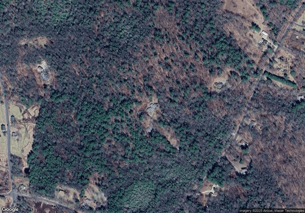
Map
Nearby Homes
- 106A Pinney St
- 0 Winsted Norfolk Rd Unit 24089254
- 000000 Norfolk Rd
- 256 Colebrook Rd
- 32 Norfolk Rd
- 50 Pine Rd
- 11 Shantry Rd
- 70 Colebrook Rd
- 99 Hubbard St
- 77 Hubbard St
- 00 Greenwoods Rd E
- 118 Meadow St
- 38 Upland Rd
- 9 John St
- 720 Main St
- 351 Platt Hill Rd
- 393 Winchester Rd
- 157 Elm St
- 124 Rockwell St
- 230 E Wakefield Blvd
- 71 Millbrook Rd
- 78 Millbrook Rd
- 72 Millbrook Rd
- 88 Millbrook Rd
- 113 Millbrook Rd
- 148 Pinney St
- 92 Millbrook Rd
- 64 Millbrook Rd
- 121 Millbrook Rd
- 62 Millbrook Rd
- 142 Pinney St
- 2 Hannafin Rd
- 158 Pinney St
- 0 Hannafin Rd Unit L151010
- 166 Pinney St
- 56 Millbrook Rd
- 134 Pinney St
- 54 Millbrook Rd
- 52 Millbrook Rd
- 82 Millbrook Rd
Your Personal Tour Guide
Ask me questions while you tour the home.