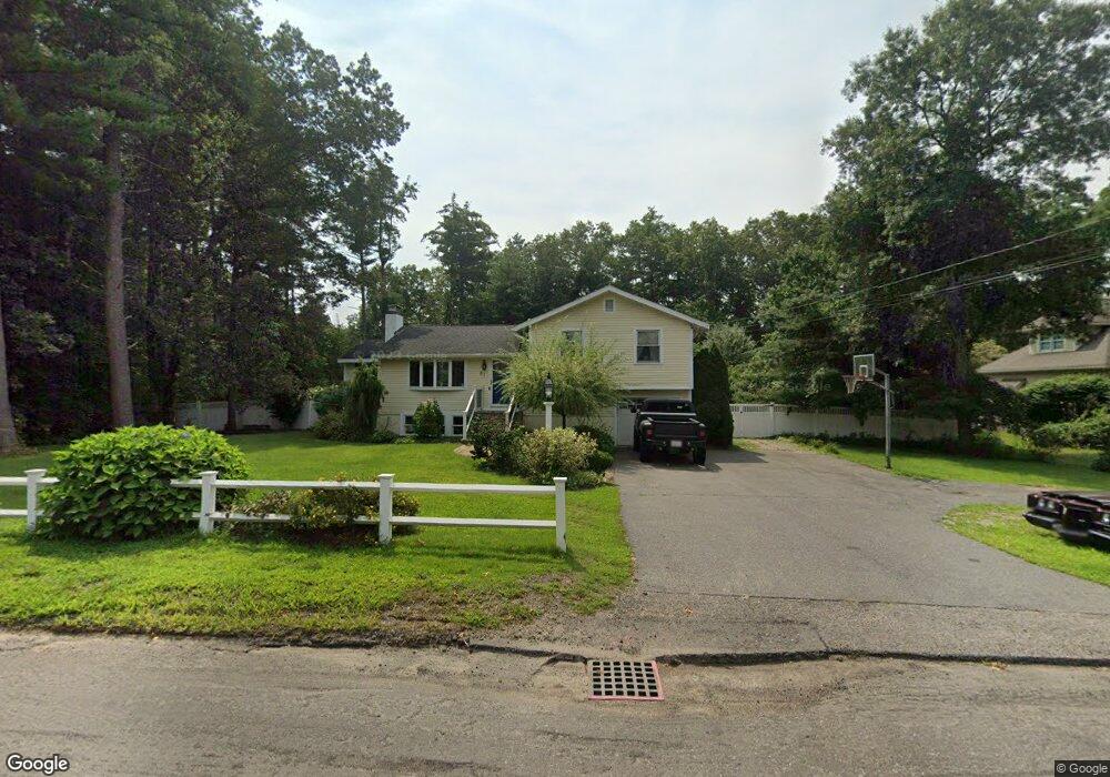
87 Pratts Mill Rd Sudbury, MA 01776
Estimated Value: $821,870 - $939,000
3
Beds
3
Baths
1,200
Sq Ft
$737/Sq Ft
Est. Value
About This Home
This home is located at 87 Pratts Mill Rd, Sudbury, MA 01776 and is currently estimated at $883,968, approximately $736 per square foot. 87 Pratts Mill Rd is a home located in Middlesex County with nearby schools including Peter Noyes Elementary School, Ephraim Curtis Middle School, and Lincoln-Sudbury Regional High School.
Ownership History
Date
Name
Owned For
Owner Type
Purchase Details
Closed on
Oct 14, 2004
Sold by
Thumma Geoffrey L and Thumma Marcia L
Bought by
Tamburrini Robin D and Tamburrini Sandro
Current Estimated Value
Home Financials for this Owner
Home Financials are based on the most recent Mortgage that was taken out on this home.
Original Mortgage
$322,000
Outstanding Balance
$158,674
Interest Rate
5.8%
Mortgage Type
Purchase Money Mortgage
Estimated Equity
$725,294
Create a Home Valuation Report for This Property
The Home Valuation Report is an in-depth analysis detailing your home's value as well as a comparison with similar homes in the area
Home Values in the Area
Average Home Value in this Area
Purchase History
| Date | Buyer | Sale Price | Title Company |
|---|---|---|---|
| Tamburrini Robin D | $422,000 | -- |
Source: Public Records
Mortgage History
| Date | Status | Borrower | Loan Amount |
|---|---|---|---|
| Open | Tamburrini Robin D | $322,000 |
Source: Public Records
Tax History Compared to Growth
Tax History
| Year | Tax Paid | Tax Assessment Tax Assessment Total Assessment is a certain percentage of the fair market value that is determined by local assessors to be the total taxable value of land and additions on the property. | Land | Improvement |
|---|---|---|---|---|
| 2025 | $10,823 | $739,300 | $399,100 | $340,200 |
| 2024 | $10,442 | $714,700 | $387,400 | $327,300 |
| 2023 | $10,279 | $651,800 | $352,100 | $299,700 |
| 2022 | $9,677 | $536,100 | $323,200 | $212,900 |
| 2021 | $9,364 | $497,300 | $323,200 | $174,100 |
| 2020 | $9,175 | $497,300 | $323,200 | $174,100 |
| 2019 | $8,907 | $497,300 | $323,200 | $174,100 |
| 2018 | $8,355 | $466,000 | $326,900 | $139,100 |
| 2017 | $7,919 | $446,400 | $315,600 | $130,800 |
| 2016 | $7,707 | $433,000 | $303,600 | $129,400 |
| 2015 | $6,954 | $395,100 | $289,300 | $105,800 |
| 2014 | $6,891 | $382,200 | $279,200 | $103,000 |
Source: Public Records
Map
Nearby Homes
- 14 Tanbark Rd
- 7 Saddle Ridge Rd
- 21 Summer St
- 30 Rolling Ln
- 89 Bridle Path
- 25 Bridle Path
- 36 Old Forge Ln
- 270 Old Lancaster Rd
- 24 Goodnow Rd
- 12 Hickory Rd
- 47 Fairbank Rd
- 143 Peakham Rd
- 0 Robbins Rd
- 54 Stone Rd
- 4 Elderberry Cir
- 12 Camperdown Ln
- 54 Phillips Rd
- 7 Adams Rd
- 0 Boston Post Rd
- 24 Woodland Rd
- 93 Pratts Mill Rd
- 81 Pratts Mill Rd
- 2 East St
- 30 Meadowbrook Cir
- 101 Pratts Mill Rd
- 5 East St
- 82 Pratts Mill Rd
- 29 Meadowbrook Cir
- 77 Pratts Mill Rd
- 10 East St
- 100 Pratts Mill Rd
- 37 Meadowbrook Cir
- 5 Scotts Wood Dr
- 11 East St
- 40 Meadowbrook Cir
- 107 Pratts Mill Rd
- 106 Pratts Mill Rd
- 14 Center St
- 15 East St
- 45 Meadowbrook Cir