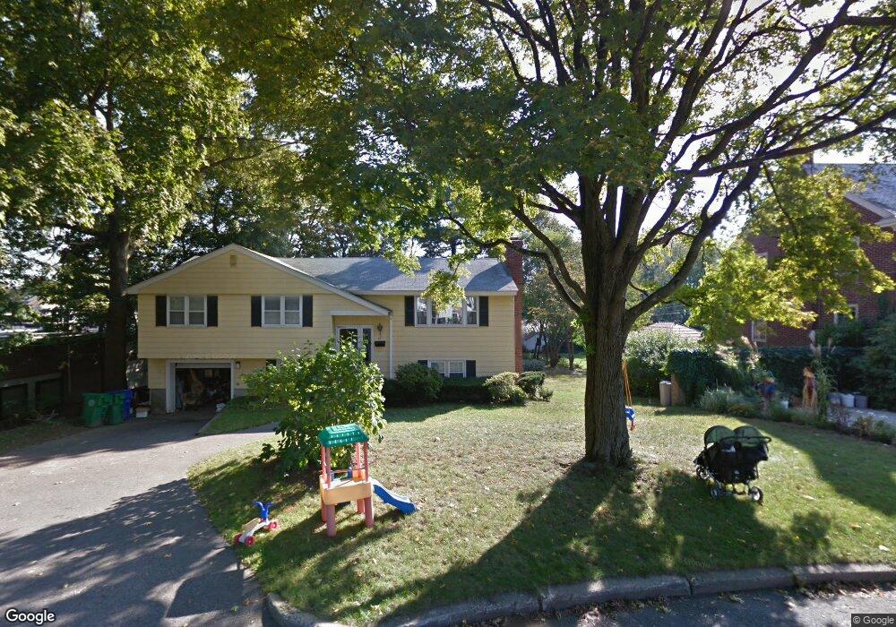
87 Prescott St Newtonville, MA 02460
Newtonville NeighborhoodEstimated Value: $1,190,000 - $1,591,000
3
Beds
3
Baths
2,037
Sq Ft
$689/Sq Ft
Est. Value
About This Home
This home is located at 87 Prescott St, Newtonville, MA 02460 and is currently estimated at $1,403,186, approximately $688 per square foot. 87 Prescott St is a home located in Middlesex County with nearby schools including Horace Mann Elementary School, F.A. Day Middle School, and Newton North High School.
Ownership History
Date
Name
Owned For
Owner Type
Purchase Details
Closed on
Jul 28, 2010
Sold by
Irene M Blackington Re
Bought by
Sullivan Brian J and Sullivan Lauren C
Current Estimated Value
Home Financials for this Owner
Home Financials are based on the most recent Mortgage that was taken out on this home.
Original Mortgage
$400,000
Outstanding Balance
$267,629
Interest Rate
4.78%
Mortgage Type
Purchase Money Mortgage
Estimated Equity
$1,135,557
Purchase Details
Closed on
May 9, 2007
Sold by
Blackington Irene M
Bought by
Irene M Blackington Re
Create a Home Valuation Report for This Property
The Home Valuation Report is an in-depth analysis detailing your home's value as well as a comparison with similar homes in the area
Home Values in the Area
Average Home Value in this Area
Purchase History
| Date | Buyer | Sale Price | Title Company |
|---|---|---|---|
| Sullivan Brian J | $500,000 | -- | |
| Irene M Blackington Re | -- | -- |
Source: Public Records
Mortgage History
| Date | Status | Borrower | Loan Amount |
|---|---|---|---|
| Open | Sullivan Brian J | $400,000 |
Source: Public Records
Tax History Compared to Growth
Tax History
| Year | Tax Paid | Tax Assessment Tax Assessment Total Assessment is a certain percentage of the fair market value that is determined by local assessors to be the total taxable value of land and additions on the property. | Land | Improvement |
|---|---|---|---|---|
| 2025 | $12,539 | $1,279,500 | $749,900 | $529,600 |
| 2024 | $12,124 | $1,242,200 | $728,100 | $514,100 |
| 2023 | $9,764 | $959,100 | $562,200 | $396,900 |
| 2022 | $7,355 | $699,100 | $520,600 | $178,500 |
| 2021 | $305 | $659,500 | $491,100 | $168,400 |
| 2020 | $305 | $659,500 | $491,100 | $168,400 |
| 2019 | $304 | $640,300 | $476,800 | $163,500 |
| 2018 | $280 | $585,900 | $429,800 | $156,100 |
| 2017 | $6,146 | $552,700 | $405,500 | $147,200 |
| 2016 | $5,878 | $516,500 | $379,000 | $137,500 |
| 2015 | $5,604 | $482,700 | $354,200 | $128,500 |
Source: Public Records
Map
Nearby Homes
- 77 Court St Unit 205
- 42-44 Judkins St
- 22-24 Emerald St
- 168 Walnut St
- 3 Ashmont Ave
- 49 Hawthorn St
- 11 Murphy Ct
- 32-34 Rossmere St
- 611 Watertown St Unit 14
- 188-190 Adams St
- 48 Harvard St Unit 1
- 158 Adams St
- 286 Nevada St Unit 286
- 282 Nevada St Unit 282
- 57 Walnut St
- 53 West St
- 86 West St
- 911 Washington St
- 354 Linwood Ave Unit 1
- 34 West St Unit A
- 81 Prescott St
- 75 Prescott St Unit 1
- 75 Prescott St
- 75 Prescott St
- 75 Prescott St Unit 2
- 86 Prescott St
- 69 Prescott St Unit 69
- 80 Prescott St
- 74 Prescott St
- 74 Prescott St Unit 1
- 67 Prescott St Unit 69
- 66 Prescott St
- 24 Turner Terrace
- 22 Turner Terrace
- 61 Prescott St
- 124 Crafts St Unit 126
- 28 Turner Terrace
- 62 Prescott St
- 67 Court St
- 67 Court St Unit 67 court street Newt