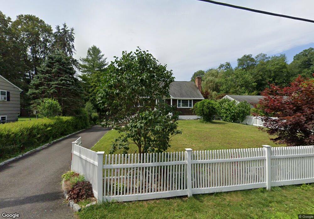
87 Ramapoo Rd Ridgefield, CT 06877
Estimated Value: $876,403 - $1,090,000
4
Beds
2
Baths
2,300
Sq Ft
$416/Sq Ft
Est. Value
About This Home
This home is located at 87 Ramapoo Rd, Ridgefield, CT 06877 and is currently estimated at $957,601, approximately $416 per square foot. 87 Ramapoo Rd is a home located in Fairfield County with nearby schools including Ridgefield High School, St. Mary School, and Ridgefield Montessori School.
Ownership History
Date
Name
Owned For
Owner Type
Purchase Details
Closed on
Oct 27, 2008
Sold by
Freemyer Cynthia B
Bought by
Gabello Jeffrey J and Richardson Wendy R
Current Estimated Value
Home Financials for this Owner
Home Financials are based on the most recent Mortgage that was taken out on this home.
Original Mortgage
$220,000
Interest Rate
5.94%
Purchase Details
Closed on
Aug 14, 2001
Sold by
Realander Keith E
Bought by
Freemyer Cynthia B
Purchase Details
Closed on
Mar 24, 1995
Sold by
Barnhart Steven D and Barnhart Margaret J
Bought by
Realander Keith and Realander Leslie
Purchase Details
Closed on
Dec 14, 1992
Sold by
Watkins Arthur Est
Bought by
Barnhart Steven and Barnhart Margaret
Create a Home Valuation Report for This Property
The Home Valuation Report is an in-depth analysis detailing your home's value as well as a comparison with similar homes in the area
Home Values in the Area
Average Home Value in this Area
Purchase History
| Date | Buyer | Sale Price | Title Company |
|---|---|---|---|
| Gabello Jeffrey J | $600,000 | -- | |
| Freemyer Cynthia B | $479,900 | -- | |
| Realander Keith | $215,000 | -- | |
| Barnhart Steven | $172,100 | -- |
Source: Public Records
Mortgage History
| Date | Status | Borrower | Loan Amount |
|---|---|---|---|
| Open | Barnhart Steven | $217,000 | |
| Closed | Barnhart Steven | $220,000 |
Source: Public Records
Tax History
| Year | Tax Paid | Tax Assessment Tax Assessment Total Assessment is a certain percentage of the fair market value that is determined by local assessors to be the total taxable value of land and additions on the property. | Land | Improvement |
|---|---|---|---|---|
| 2025 | $11,113 | $405,720 | $211,050 | $194,670 |
| 2024 | $10,691 | $405,720 | $211,050 | $194,670 |
| 2023 | $10,472 | $405,720 | $211,050 | $194,670 |
| 2022 | $11,259 | $396,010 | $164,150 | $231,860 |
| 2021 | $11,171 | $396,010 | $164,150 | $231,860 |
| 2020 | $11,136 | $396,010 | $164,150 | $231,860 |
| 2019 | $11,136 | $396,010 | $164,150 | $231,860 |
| 2018 | $11,001 | $396,010 | $164,150 | $231,860 |
| 2017 | $9,524 | $350,000 | $154,770 | $195,230 |
| 2016 | $9,342 | $350,000 | $154,770 | $195,230 |
| 2015 | $9,104 | $350,000 | $154,770 | $195,230 |
| 2014 | $9,104 | $350,000 | $154,770 | $195,230 |
Source: Public Records
Map
Nearby Homes
- 75A New St
- 75 New St
- 26 Abbott Ave
- 159 Barry Ave
- 8 Stebbins Close Unit 8
- 22 Ketcham Rd
- 75 Lawson Ln
- 55 Olcott Way
- 32 Lawson Ln
- 151 North St
- 59 Prospect St Unit C
- 77 Sunset Ln Unit 213
- 77 Sunset Ln Unit 223
- 19 Prospect Ridge Unit 14
- 217 Danbury Rd
- 2 Lemon Ln
- 88 Green Ln
- 9 Dowling Dr
- 77 Golf Ln
- 96 Norrans Ridge Dr
Your Personal Tour Guide
Ask me questions while you tour the home.