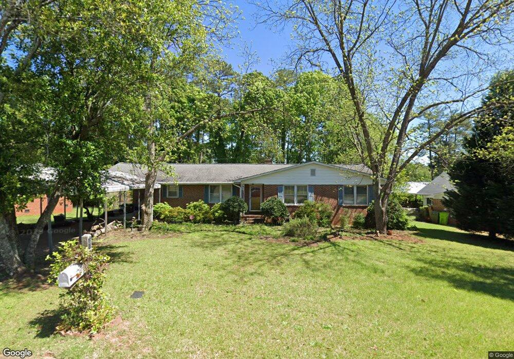
87 Riverside Cir Columbia, SC 29210
Saint Andrews NeighborhoodEstimated Value: $180,000 - $218,000
3
Beds
2
Baths
1,630
Sq Ft
$123/Sq Ft
Est. Value
About This Home
This home is located at 87 Riverside Cir, Columbia, SC 29210 and is currently estimated at $200,419, approximately $122 per square foot. 87 Riverside Cir is a home located in Richland County with nearby schools including H. B. Rhame Elementary School, St. Andrews Middle School, and Columbia High School.
Ownership History
Date
Name
Owned For
Owner Type
Purchase Details
Closed on
Apr 29, 1998
Sold by
Edwards Eugenia N and Nettles Eugenia Nettles
Bought by
Dickerson Regina G
Current Estimated Value
Home Financials for this Owner
Home Financials are based on the most recent Mortgage that was taken out on this home.
Original Mortgage
$77,310
Outstanding Balance
$15,014
Interest Rate
7.03%
Estimated Equity
$185,405
Create a Home Valuation Report for This Property
The Home Valuation Report is an in-depth analysis detailing your home's value as well as a comparison with similar homes in the area
Home Values in the Area
Average Home Value in this Area
Purchase History
| Date | Buyer | Sale Price | Title Company |
|---|---|---|---|
| Dickerson Regina G | $85,900 | -- |
Source: Public Records
Mortgage History
| Date | Status | Borrower | Loan Amount |
|---|---|---|---|
| Open | Dickerson Regina G | $77,310 |
Source: Public Records
Tax History Compared to Growth
Tax History
| Year | Tax Paid | Tax Assessment Tax Assessment Total Assessment is a certain percentage of the fair market value that is determined by local assessors to be the total taxable value of land and additions on the property. | Land | Improvement |
|---|---|---|---|---|
| 2024 | $1,055 | $99,500 | $0 | $0 |
| 2023 | $1,013 | $3,460 | $0 | $0 |
| 2022 | $919 | $86,500 | $12,600 | $73,900 |
| 2021 | $910 | $3,460 | $0 | $0 |
| 2020 | $923 | $3,460 | $0 | $0 |
| 2019 | $894 | $3,460 | $0 | $0 |
| 2018 | $832 | $3,240 | $0 | $0 |
| 2017 | $815 | $3,240 | $0 | $0 |
| 2016 | $812 | $3,240 | $0 | $0 |
| 2015 | $793 | $3,240 | $0 | $0 |
| 2014 | $772 | $81,000 | $0 | $0 |
| 2013 | -- | $3,240 | $0 | $0 |
Source: Public Records
Map
Nearby Homes
- 112 Gateway Ln
- 201 Burbank St
- 232 Burbank St
- 1650 Omarest Dr
- 1712 Omarest Dr
- 321 Cambout St
- 529 Cambout St
- 1820 Omarest Dr
- 1127 Shirlington Rd
- 1510 Canal Dr
- 105 River Bluff Ct
- 1509 Nunamaker Dr
- 517 Innsbrook Dr
- 116 Leyden Ln
- 214 River Bluff Way
- 1850 Atlantic Dr
- 1850 Atlantic Dr Unit 416
- 409 Huntley Way
- 2103 Marley Dr
- 506 Menlo Dr
- 93 Riverside Cir
- 81 Riverside Cir
- 100 River Rd
- 236 Beresford Place
- 240 Beresford Place
- 203 Burbank St
- 232 Beresford Place
- 228 Beresford Place
- 244 Beresford Place
- 75 Riverside Cir
- 224 Beresford Place
- 1510 Omarest Dr
- 0 Burbank St
- 220 Beresford Place
- 73 Riverside Cir
- 1512 Omarest Dr
- 1500 Omarest Dr
- 216 Beresford Place
- 237 Beresford Place
- 241 Beresford Place