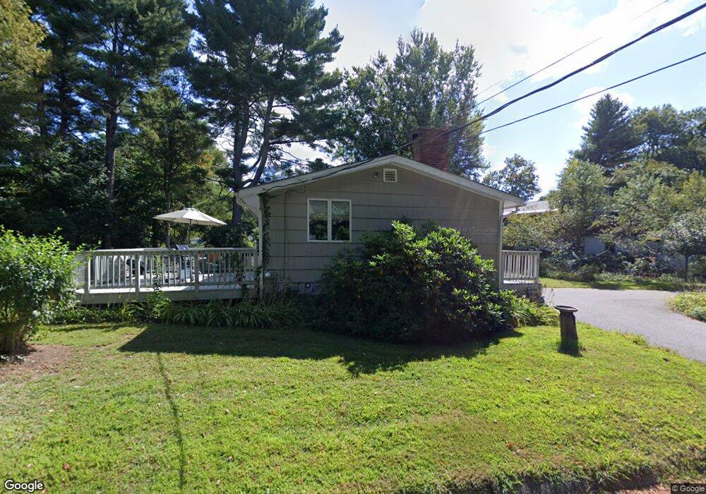
87 Shore Dr Concord, MA 01742
Estimated Value: $784,000 - $963,263
3
Beds
1
Bath
1,152
Sq Ft
$732/Sq Ft
Est. Value
About This Home
This home is located at 87 Shore Dr, Concord, MA 01742 and is currently estimated at $843,066, approximately $731 per square foot. 87 Shore Dr is a home located in Middlesex County with nearby schools including Willard School, Concord Middle School, and The Fenn School.
Ownership History
Date
Name
Owned For
Owner Type
Purchase Details
Closed on
Oct 4, 2012
Sold by
Davis Charles N
Bought by
Charles N Davis T and Davis Charles N
Current Estimated Value
Purchase Details
Closed on
Aug 24, 2009
Sold by
Davis Charles N and Davis Ellen M
Bought by
Davis Charles N
Home Financials for this Owner
Home Financials are based on the most recent Mortgage that was taken out on this home.
Original Mortgage
$200,000
Interest Rate
5.19%
Mortgage Type
Purchase Money Mortgage
Purchase Details
Closed on
Mar 25, 1991
Sold by
Moreland Kenneth A
Bought by
Davis Charles N and Davis Ellen M
Home Financials for this Owner
Home Financials are based on the most recent Mortgage that was taken out on this home.
Original Mortgage
$80,000
Interest Rate
9.27%
Mortgage Type
Purchase Money Mortgage
Create a Home Valuation Report for This Property
The Home Valuation Report is an in-depth analysis detailing your home's value as well as a comparison with similar homes in the area
Home Values in the Area
Average Home Value in this Area
Purchase History
| Date | Buyer | Sale Price | Title Company |
|---|---|---|---|
| Charles N Davis T | -- | -- | |
| Davis Charles N | -- | -- | |
| Davis Charles N | $150,000 | -- |
Source: Public Records
Mortgage History
| Date | Status | Borrower | Loan Amount |
|---|---|---|---|
| Previous Owner | Davis Charles N | $200,000 | |
| Previous Owner | Davis Charles N | $130,000 | |
| Previous Owner | Davis Charles N | $80,000 | |
| Previous Owner | Davis Charles N | $50,000 | |
| Previous Owner | Davis Charles N | $30,513 |
Source: Public Records
Tax History Compared to Growth
Tax History
| Year | Tax Paid | Tax Assessment Tax Assessment Total Assessment is a certain percentage of the fair market value that is determined by local assessors to be the total taxable value of land and additions on the property. | Land | Improvement |
|---|---|---|---|---|
| 2025 | $95 | $714,200 | $477,300 | $236,900 |
| 2024 | $9,250 | $704,500 | $477,300 | $227,200 |
| 2023 | $8,568 | $661,100 | $454,600 | $206,500 |
| 2022 | $8,150 | $552,200 | $363,700 | $188,500 |
| 2021 | $7,793 | $529,400 | $363,700 | $165,700 |
| 2020 | $7,501 | $527,100 | $363,700 | $163,400 |
| 2019 | $7,329 | $516,500 | $353,100 | $163,400 |
| 2018 | $7,105 | $497,200 | $321,000 | $176,200 |
| 2017 | $6,799 | $483,200 | $327,500 | $155,700 |
| 2016 | $6,332 | $454,900 | $327,500 | $127,400 |
| 2015 | $5,999 | $419,800 | $283,100 | $136,700 |
Source: Public Records
Map
Nearby Homes
- 40 Rookery Ln Unit 5
- 72 Rookery Ln Unit 3
- 121 White Pond Way Unit 121
- 24 Rookery Ln Unit 6
- 56 Rookery Ln Unit 4
- 401 Emery Ln Unit 304
- 42 Dakin Rd
- 16 Blacksmith Dr
- 37 Wolf Pine Way
- 497 Old Road to 9 Acre Corner
- Lot 5 Sailaway Ln
- 45 N Crescent Cir
- Lot 4 Sailaway Ln
- 2 Betts Way
- 8 Mina Way
- 0 Elm Unit 73282184
- Lot 9 Sailaway Ln
- 4 Betts Way
- 122 Sand Gully Rd N Unit B
- 941 Concord Rd