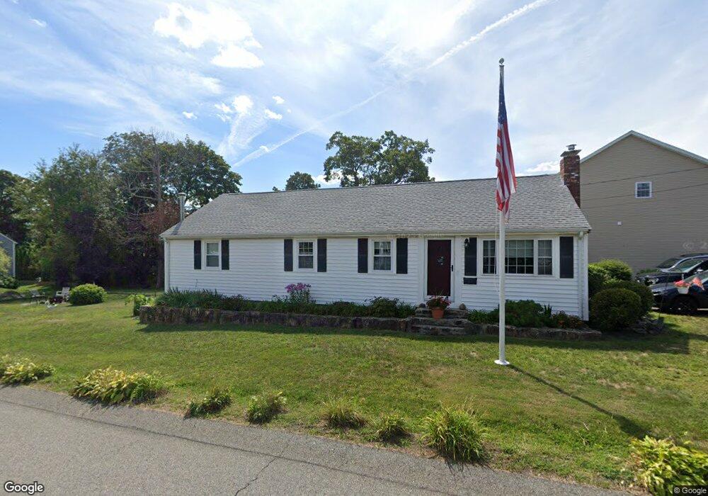
87 Summit St Weymouth, MA 02188
Weymouth Landing NeighborhoodEstimated Value: $586,000 - $645,851
3
Beds
2
Baths
1,248
Sq Ft
$495/Sq Ft
Est. Value
About This Home
This home is located at 87 Summit St, Weymouth, MA 02188 and is currently estimated at $617,463, approximately $494 per square foot. 87 Summit St is a home located in Norfolk County with nearby schools including Frederick C Murphy, Abigail Adams Middle School, and Weymouth Middle School Chapman.
Ownership History
Date
Name
Owned For
Owner Type
Purchase Details
Closed on
Sep 24, 2004
Sold by
Donelan Laurie J
Bought by
Munroe Laurie and Munroe Philip A
Current Estimated Value
Home Financials for this Owner
Home Financials are based on the most recent Mortgage that was taken out on this home.
Original Mortgage
$270,000
Outstanding Balance
$134,792
Interest Rate
5.89%
Mortgage Type
Purchase Money Mortgage
Estimated Equity
$482,671
Purchase Details
Closed on
Nov 27, 2000
Sold by
Marron Richard P and Marron Laurianne
Bought by
Donelan Laurie J
Home Financials for this Owner
Home Financials are based on the most recent Mortgage that was taken out on this home.
Original Mortgage
$188,835
Interest Rate
7.78%
Mortgage Type
Purchase Money Mortgage
Purchase Details
Closed on
Jan 16, 1996
Sold by
Marron Gloria L
Bought by
Marron Richard P and Marron Laurianne
Home Financials for this Owner
Home Financials are based on the most recent Mortgage that was taken out on this home.
Original Mortgage
$108,000
Interest Rate
7.31%
Mortgage Type
Purchase Money Mortgage
Purchase Details
Closed on
Sep 3, 1987
Sold by
Parlee Wayne G
Bought by
Marron Peter D
Create a Home Valuation Report for This Property
The Home Valuation Report is an in-depth analysis detailing your home's value as well as a comparison with similar homes in the area
Home Values in the Area
Average Home Value in this Area
Purchase History
| Date | Buyer | Sale Price | Title Company |
|---|---|---|---|
| Munroe Laurie | -- | -- | |
| Donelan Laurie J | $205,000 | -- | |
| Marron Richard P | $138,000 | -- | |
| Marron Peter D | $159,900 | -- |
Source: Public Records
Mortgage History
| Date | Status | Borrower | Loan Amount |
|---|---|---|---|
| Open | Munroe Laurie | $270,000 | |
| Previous Owner | Marron Peter D | $188,835 | |
| Previous Owner | Marron Peter D | $142,500 | |
| Previous Owner | Marron Peter D | $108,000 |
Source: Public Records
Tax History Compared to Growth
Tax History
| Year | Tax Paid | Tax Assessment Tax Assessment Total Assessment is a certain percentage of the fair market value that is determined by local assessors to be the total taxable value of land and additions on the property. | Land | Improvement |
|---|---|---|---|---|
| 2025 | $5,961 | $590,200 | $227,300 | $362,900 |
| 2024 | $5,827 | $567,400 | $216,500 | $350,900 |
| 2023 | $5,542 | $530,300 | $200,500 | $329,800 |
| 2022 | $5,438 | $474,500 | $185,600 | $288,900 |
| 2021 | $4,786 | $407,700 | $185,600 | $222,100 |
| 2020 | $4,552 | $381,900 | $185,600 | $196,300 |
| 2019 | $4,351 | $359,000 | $178,500 | $180,500 |
| 2018 | $4,218 | $337,400 | $170,000 | $167,400 |
| 2017 | $3,702 | $289,000 | $161,900 | $127,100 |
| 2016 | $3,610 | $282,000 | $155,700 | $126,300 |
| 2015 | $3,448 | $267,300 | $148,600 | $118,700 |
| 2014 | $3,389 | $254,800 | $138,300 | $116,500 |
Source: Public Records
Map
Nearby Homes
- 294 Commercial St
- 11 Richmond St
- 122 Washington St Unit 22
- 114 Broad St Unit D
- 114 Broad St Unit C
- 19 Vine St Unit 3
- 19 Vine St Unit 1
- 36 Brookside Rd
- 23-25 Lindbergh Ave
- 16 Lindbergh Ave
- 141 Commercial St Unit 9
- 15 1st St
- 37 Lantern Ln
- 38 Idlewell St
- 15 Summer St
- 286 Broad St
- 76 Kingman St
- 12 Klasson Ln
- 51 Faxon St
- 367 Essex St
- 83 Summit St
- 8 Samantha Way
- 1 Samantha Way Unit 1
- 75 Summit St
- 99 Summit St
- 115 Phillips St
- 103 Summit St
- 23 Samantha Way
- 94 Summit St
- 98 Summit St
- 98 Summit St Unit 1
- 103 Phillips St Unit 105
- 124 Phillips St
- 104 Summit St
- 120 Phillips St
- 128 Phillips St
- 116 Phillips St
- 26 Samantha Way
- 101 Phillips St
- 11 Gibbens St