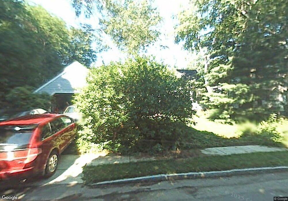
87 Taylor Rd Belmont, MA 02478
Belmont Center NeighborhoodEstimated Value: $1,591,000 - $1,669,000
4
Beds
2
Baths
2,141
Sq Ft
$756/Sq Ft
Est. Value
About This Home
This home is located at 87 Taylor Rd, Belmont, MA 02478 and is currently estimated at $1,618,005, approximately $755 per square foot. 87 Taylor Rd is a home located in Middlesex County with nearby schools including Mary Lee Burbank Elementary School, Winthrop L Chenery Middle School, and Belmont High School.
Ownership History
Date
Name
Owned For
Owner Type
Purchase Details
Closed on
Dec 4, 2013
Sold by
Desrosiers Gertrude H and Desrosiers Robert B
Bought by
87 Rt and Desrosiers Gertrude H
Current Estimated Value
Purchase Details
Closed on
Dec 24, 1980
Bought by
Taylor Rt
Create a Home Valuation Report for This Property
The Home Valuation Report is an in-depth analysis detailing your home's value as well as a comparison with similar homes in the area
Home Values in the Area
Average Home Value in this Area
Purchase History
| Date | Buyer | Sale Price | Title Company |
|---|---|---|---|
| 87 Rt | -- | -- | |
| Taylor Rt | -- | -- |
Source: Public Records
Mortgage History
| Date | Status | Borrower | Loan Amount |
|---|---|---|---|
| Previous Owner | Taylor Rt | $100,000 |
Source: Public Records
Tax History Compared to Growth
Tax History
| Year | Tax Paid | Tax Assessment Tax Assessment Total Assessment is a certain percentage of the fair market value that is determined by local assessors to be the total taxable value of land and additions on the property. | Land | Improvement |
|---|---|---|---|---|
| 2025 | $15,673 | $1,376,000 | $829,000 | $547,000 |
| 2024 | $15,428 | $1,461,000 | $1,034,000 | $427,000 |
| 2023 | $14,511 | $1,291,000 | $902,000 | $389,000 |
| 2022 | $13,675 | $1,212,000 | $848,000 | $364,000 |
| 2021 | $13,675 | $1,185,000 | $883,000 | $302,000 |
| 2020 | $12,837 | $1,167,000 | $865,000 | $302,000 |
| 2019 | $10,818 | $927,000 | $643,000 | $284,000 |
| 2018 | $4,464 | $869,000 | $585,000 | $284,000 |
| 2017 | $10,406 | $820,000 | $536,000 | $284,000 |
| 2016 | $10,262 | $817,000 | $536,000 | $281,000 |
| 2015 | $9,469 | $734,000 | $446,000 | $288,000 |
Source: Public Records
Map
Nearby Homes
- 105 Watson Rd
- 118 Blanchard Rd
- 48 Concord Ave
- 248 School St
- 4 Merrill Ave
- 36 Madison St
- 15 Sunset Rd
- 48 Hamilton Rd
- 46 Hamilton Rd
- 95 Griswold St Unit 95
- 93 Griswold St Unit 93
- 73 Trowbridge St Unit 73A
- 73 Trowbridge St Unit 73B
- 55 S Normandy Ave
- 23 Loomis St Unit 23
- 63 Loomis St Unit 63
- 73 Foster Rd Unit 2
- 38 Myrtle St
- 1 Spinney Terrace
- 263 Common St