87 Trillium Trail Dahlonega, GA 30533
Estimated Value: $349,000 - $600,000
--
Bed
2
Baths
1,618
Sq Ft
$271/Sq Ft
Est. Value
About This Home
This home is located at 87 Trillium Trail, Dahlonega, GA 30533 and is currently estimated at $438,586, approximately $271 per square foot. 87 Trillium Trail is a home located in Lumpkin County with nearby schools including Lumpkin County High School.
Ownership History
Date
Name
Owned For
Owner Type
Purchase Details
Closed on
Oct 1, 2002
Sold by
Watson Randy
Bought by
Burson Buffie
Current Estimated Value
Purchase Details
Closed on
Aug 6, 1999
Sold by
Lott Sue Ann
Bought by
Watson Randy
Purchase Details
Closed on
Apr 11, 1995
Sold by
Bryan Scottie and Bryan Aren
Bought by
Lott Sue Ann
Purchase Details
Closed on
Dec 30, 1988
Sold by
Breedlove Judson
Bought by
Bryan Scottie and Bryan Aren
Purchase Details
Closed on
Apr 1, 1984
Bought by
Breedlove Judson
Create a Home Valuation Report for This Property
The Home Valuation Report is an in-depth analysis detailing your home's value as well as a comparison with similar homes in the area
Home Values in the Area
Average Home Value in this Area
Purchase History
| Date | Buyer | Sale Price | Title Company |
|---|---|---|---|
| Burson Buffie | -- | -- | |
| Watson Randy | $176,200 | -- | |
| Lott Sue Ann | $138,000 | -- | |
| Bryan Scottie | $22,500 | -- | |
| Breedlove Judson | -- | -- |
Source: Public Records
Tax History Compared to Growth
Tax History
| Year | Tax Paid | Tax Assessment Tax Assessment Total Assessment is a certain percentage of the fair market value that is determined by local assessors to be the total taxable value of land and additions on the property. | Land | Improvement |
|---|---|---|---|---|
| 2024 | $3,138 | $131,266 | $44,550 | $86,716 |
| 2023 | $2,873 | $122,143 | $40,500 | $81,643 |
| 2022 | $2,715 | $109,669 | $33,750 | $75,919 |
| 2021 | $2,530 | $98,830 | $33,750 | $65,080 |
| 2020 | $2,531 | $95,938 | $32,342 | $63,596 |
| 2019 | $2,554 | $95,938 | $32,342 | $63,596 |
| 2018 | $2,505 | $88,305 | $32,342 | $55,963 |
| 2017 | $2,533 | $87,560 | $32,342 | $55,218 |
| 2016 | $2,431 | $81,280 | $32,342 | $48,938 |
| 2015 | $2,159 | $81,280 | $32,342 | $48,938 |
| 2014 | $2,159 | $81,890 | $32,342 | $49,548 |
| 2013 | -- | $82,499 | $32,341 | $50,157 |
Source: Public Records
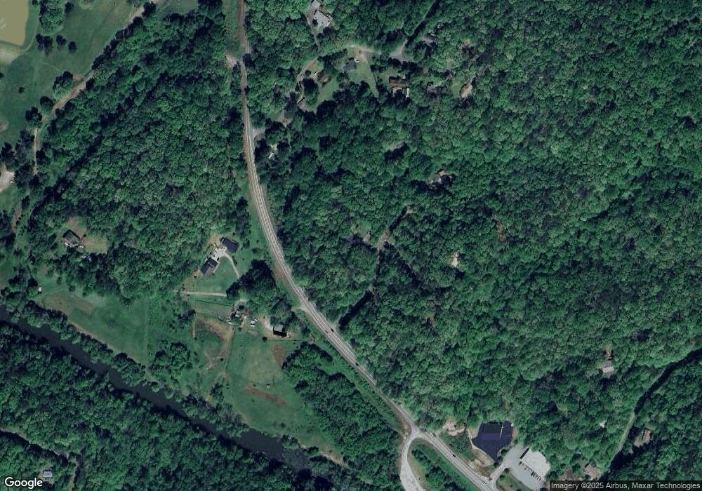
Map
Nearby Homes
- 40 Chestatee Springs Rd
- 131 Chestatee Springs Ridge
- 5195 S Chestatee
- TRACT1 Panorama Dr
- 0 Long Branch Rd Unit 10271720
- 0 Long Branch Rd Unit 10271266
- 0 Long Branch Rd Unit 7357871
- 00 Long Branch Rd
- 70 Deerwood Cir
- 0 Robinson Rd Unit 10597950
- 0 Robinson Rd Unit 7643549
- 71 Quartz Way
- 6038 S Chestatee
- 67 Quartz Way
- 103 Rockhound Dr
- 134 Rockhound Dr
- 145 Hawks View
- 433 Elliots Ln
- 1050 Robinson Rd
- 0 Charlie Lemley Rd Unit 7693340
- 0014 Chestatee Industrial Park Dr Unit Lot 14 Chestatee Ind
- 00 Heritage Dr
- 0 Heritage Dr Unit 3 20040060
- 0 Heritage Dr Unit 3 20164563
- 0 Heritage Dr Unit 3281993
- 0 Heritage Dr Unit 2887899
- 0 Trillium Trail
- 136 Chestatee Springs Rd
- 169 Trillium Trail
- 107 Trillium Trail
- 22 Chestatee Springs Rd
- 22 Chestatee Springs Rd
- 40 Chestatee Springs Rd Unit Upper Level
- 40 Chestatee Springs Rd Unit B
- 40 Chestatee Springs Rd Unit A
- 40 Chestatee Springs Rd Unit Lower Level/Basement
- 72 Heritage Dr
- 2 Chestatee Springs Rd
- 212 Chestatee Springs Rd
- 178 Chestatee Springs Rd