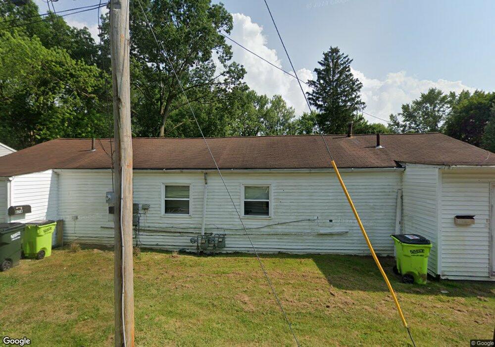
87 Trumbull Ct Newton Falls, OH 44444
Estimated Value: $51,000 - $84,000
2
Beds
2
Baths
1,440
Sq Ft
$50/Sq Ft
Est. Value
About This Home
This home is located at 87 Trumbull Ct, Newton Falls, OH 44444 and is currently estimated at $72,235, approximately $50 per square foot. 87 Trumbull Ct is a home located in Trumbull County with nearby schools including Newton Falls Middle School, Newton Falls Junior High School, and Newton Falls High School.
Ownership History
Date
Name
Owned For
Owner Type
Purchase Details
Closed on
Dec 22, 2016
Sold by
Riffle Myla
Bought by
Rader Timothy M
Current Estimated Value
Purchase Details
Closed on
May 23, 2013
Sold by
Riffle Stefan
Bought by
Riffle Myla
Purchase Details
Closed on
Sep 9, 2010
Sold by
Federal Home Loan Mortgage Corporation
Bought by
Riffle Stefan
Purchase Details
Closed on
Jun 17, 2010
Sold by
Smith Stephen A and Smith Loretta J
Bought by
Federal Home Loan Mortgage Corp
Purchase Details
Closed on
Jan 1, 1990
Bought by
Stephen A Smith
Create a Home Valuation Report for This Property
The Home Valuation Report is an in-depth analysis detailing your home's value as well as a comparison with similar homes in the area
Home Values in the Area
Average Home Value in this Area
Purchase History
| Date | Buyer | Sale Price | Title Company |
|---|---|---|---|
| Rader Timothy M | $15,000 | None Available | |
| Riffle Myla | -- | None Available | |
| Riffle Stefan | $10,500 | Attorney | |
| Federal Home Loan Mortgage Corp | $12,000 | Attorney | |
| Stephen A Smith | -- | -- |
Source: Public Records
Tax History Compared to Growth
Tax History
| Year | Tax Paid | Tax Assessment Tax Assessment Total Assessment is a certain percentage of the fair market value that is determined by local assessors to be the total taxable value of land and additions on the property. | Land | Improvement |
|---|---|---|---|---|
| 2024 | $811 | $18,240 | $1,330 | $16,910 |
| 2023 | $811 | $18,240 | $1,330 | $16,910 |
| 2022 | $486 | $9,460 | $1,090 | $8,370 |
| 2021 | $515 | $9,460 | $1,090 | $8,370 |
| 2020 | $479 | $9,460 | $1,090 | $8,370 |
| 2019 | $509 | $9,460 | $1,090 | $8,370 |
| 2018 | $494 | $9,460 | $1,090 | $8,370 |
| 2017 | $493 | $9,460 | $1,090 | $8,370 |
| 2016 | $276 | $5,290 | $1,090 | $4,200 |
| 2015 | $274 | $5,290 | $1,090 | $4,200 |
| 2014 | $239 | $5,290 | $1,090 | $4,200 |
| 2013 | $240 | $5,640 | $1,090 | $4,550 |
Source: Public Records
Map
Nearby Homes
- 83 Maple Dr
- 328 Oak Knoll Ave
- 722 Arlington Blvd
- 211 Mayhill Dr
- 348 Arlington Blvd
- 1026 Woodglen Ave
- 61 Bridge St
- 4908 Woodlawn Ave
- 2721 E River Rd
- 4374 Richmond Ave
- 32 Orchard St
- 4442 La France St
- 431 S Canal St
- 0 2nd St
- 57 E Main St
- 1054 Water St
- 2567 S Canal St
- 38 W 8th St
- 0 Miller Graber Rd SW
- 5587 Charleston Rd