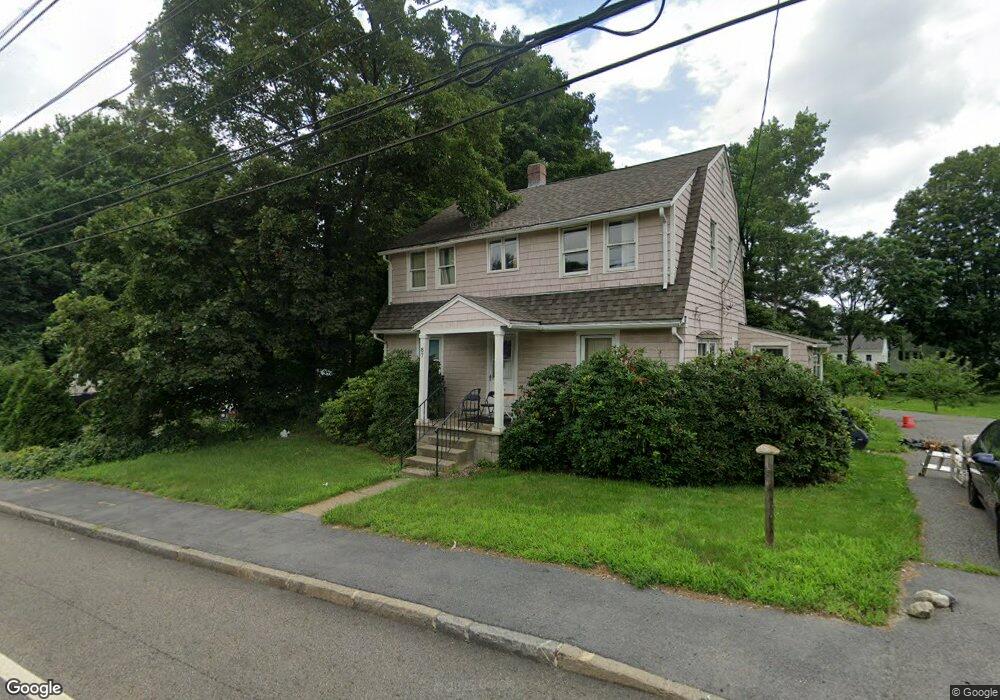
87 Turnpike Rd Unit 1,1 Southborough, MA 01772
Estimated Value: $513,000 - $683,000
4
Beds
2
Baths
2,000
Sq Ft
$305/Sq Ft
Est. Value
About This Home
This home is located at 87 Turnpike Rd Unit 1,1, Southborough, MA 01772 and is currently estimated at $610,743, approximately $305 per square foot. 87 Turnpike Rd Unit 1,1 is a home located in Worcester County with nearby schools including Mary E Finn School, Albert S. Woodward Memorial School, and Margaret A. Neary School.
Ownership History
Date
Name
Owned For
Owner Type
Purchase Details
Closed on
Apr 18, 2017
Sold by
Ferris Development Gro
Bought by
Dimanno Nancie E
Current Estimated Value
Home Financials for this Owner
Home Financials are based on the most recent Mortgage that was taken out on this home.
Original Mortgage
$200,000
Outstanding Balance
$165,927
Interest Rate
4.1%
Mortgage Type
New Conventional
Estimated Equity
$444,816
Purchase Details
Closed on
Jul 14, 2010
Sold by
Ferris David
Bought by
Ferris Dev Grp Llc
Purchase Details
Closed on
Dec 9, 2008
Sold by
American Home Mtg Svcs
Bought by
Ferris David
Purchase Details
Closed on
Jul 3, 2007
Sold by
Miller Dora
Bought by
Us Bk
Purchase Details
Closed on
Jan 13, 2005
Sold by
Scott Charles F
Bought by
Miller Dora and Miller Timothy
Home Financials for this Owner
Home Financials are based on the most recent Mortgage that was taken out on this home.
Original Mortgage
$316,000
Interest Rate
5.81%
Mortgage Type
Purchase Money Mortgage
Purchase Details
Closed on
May 9, 2003
Sold by
Keller Charles A
Bought by
Scott Charles F
Home Financials for this Owner
Home Financials are based on the most recent Mortgage that was taken out on this home.
Original Mortgage
$271,200
Interest Rate
5.93%
Mortgage Type
Purchase Money Mortgage
Create a Home Valuation Report for This Property
The Home Valuation Report is an in-depth analysis detailing your home's value as well as a comparison with similar homes in the area
Home Values in the Area
Average Home Value in this Area
Purchase History
| Date | Buyer | Sale Price | Title Company |
|---|---|---|---|
| Dimanno Nancie E | $300,000 | -- | |
| Ferris Dev Grp Llc | -- | -- | |
| Ferris David | $178,500 | -- | |
| Us Bk | $352,665 | -- | |
| Miller Dora | $395,000 | -- | |
| Scott Charles F | $339,000 | -- |
Source: Public Records
Mortgage History
| Date | Status | Borrower | Loan Amount |
|---|---|---|---|
| Open | Dimanno Nancie E | $200,000 | |
| Previous Owner | Scott Charles F | $502,000 | |
| Previous Owner | Miller Dora | $316,000 | |
| Previous Owner | Scott Charles F | $271,200 |
Source: Public Records
Tax History Compared to Growth
Tax History
| Year | Tax Paid | Tax Assessment Tax Assessment Total Assessment is a certain percentage of the fair market value that is determined by local assessors to be the total taxable value of land and additions on the property. | Land | Improvement |
|---|---|---|---|---|
| 2025 | $6,105 | $442,100 | $237,300 | $204,800 |
| 2024 | $5,909 | $424,800 | $232,700 | $192,100 |
| 2023 | $6,012 | $407,300 | $222,800 | $184,500 |
| 2022 | $5,608 | $344,500 | $185,200 | $159,300 |
| 2021 | $3,752 | $324,000 | $166,200 | $157,800 |
| 2020 | $5,013 | $300,900 | $159,100 | $141,800 |
| 2019 | $13,377 | $305,100 | $156,200 | $148,900 |
| 2018 | $5,149 | $319,000 | $156,200 | $162,800 |
| 2017 | $3,850 | $310,100 | $156,200 | $153,900 |
| 2016 | $4,570 | $288,900 | $152,900 | $136,000 |
| 2015 | $3,733 | $233,000 | $138,700 | $94,300 |
Source: Public Records
Map
Nearby Homes
- 9 Cherry St
- 61-65 Turnpike
- 8 Lorenzo Dr
- 1 Carriage Hill Cir Unit 1
- 33 Valley Rd
- 1 Blueberry Ln
- 40 William Onthank Ln
- 38 William Onthank Ln
- 21 William Onthank Ln
- 25 Park St
- 36 E Main St
- 9 Oregon Rd
- 8 Pilgrim Rd
- 1022 Pleasant St
- 9 John Matthews Rd
- 7 Rockpoint Rd
- 9 Wentworth Dr
- 217 Cordaville Rd
- 58 Framingham Rd
- 41 Darlene Dr