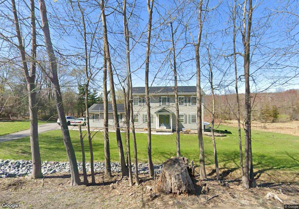
87 W Ridge Rd Warwick, NY 10990
Estimated Value: $677,238 - $935,000
4
Beds
3
Baths
2,184
Sq Ft
$358/Sq Ft
Est. Value
About This Home
This home is located at 87 W Ridge Rd, Warwick, NY 10990 and is currently estimated at $782,560, approximately $358 per square foot. 87 W Ridge Rd is a home located in Orange County with nearby schools including Warwick Valley Middle School and Warwick Valley High School.
Ownership History
Date
Name
Owned For
Owner Type
Purchase Details
Closed on
Dec 30, 2010
Sold by
Cartus Financial Corp
Bought by
Ricco Angel
Current Estimated Value
Home Financials for this Owner
Home Financials are based on the most recent Mortgage that was taken out on this home.
Original Mortgage
$287,200
Outstanding Balance
$196,271
Interest Rate
4.83%
Estimated Equity
$586,289
Purchase Details
Closed on
Oct 20, 1997
Sold by
Lambkin Bryan C and Lambkin Lisa J
Bought by
Bosch Colin and Bosch Laurel A
Purchase Details
Closed on
Nov 20, 1996
Sold by
Rourke Gary and Rourke Jacqueline
Bought by
Lambkin Bryan C and Lambkin Lisa J
Purchase Details
Closed on
Jan 24, 1995
Sold by
Linder Sam and Farrauto Charles
Bought by
Rourke Gary and Rourke Jacqueline
Create a Home Valuation Report for This Property
The Home Valuation Report is an in-depth analysis detailing your home's value as well as a comparison with similar homes in the area
Home Values in the Area
Average Home Value in this Area
Purchase History
| Date | Buyer | Sale Price | Title Company |
|---|---|---|---|
| Ricco Angel | $359,000 | Steven Derderian | |
| Cartus Financial Corp | $359,000 | Bruce Hofstetter | |
| Bosch Colin | $195,000 | -- | |
| Lambkin Bryan C | $190,000 | -- | |
| Rourke Gary | $62,000 | Commonwealth Land Title Ins |
Source: Public Records
Mortgage History
| Date | Status | Borrower | Loan Amount |
|---|---|---|---|
| Open | Cartus Financial Corp | $287,200 | |
| Closed | Cartus Financial Corp | $287,200 |
Source: Public Records
Tax History Compared to Growth
Tax History
| Year | Tax Paid | Tax Assessment Tax Assessment Total Assessment is a certain percentage of the fair market value that is determined by local assessors to be the total taxable value of land and additions on the property. | Land | Improvement |
|---|---|---|---|---|
| 2024 | $11,182 | $49,500 | $16,600 | $32,900 |
| 2023 | $11,182 | $49,500 | $16,600 | $32,900 |
| 2022 | $10,977 | $49,500 | $16,600 | $32,900 |
| 2021 | $11,143 | $49,500 | $16,600 | $32,900 |
| 2020 | $10,345 | $49,500 | $16,600 | $32,900 |
| 2019 | $9,872 | $49,500 | $16,600 | $32,900 |
| 2018 | $9,872 | $49,500 | $16,600 | $32,900 |
| 2017 | $9,609 | $49,500 | $16,600 | $32,900 |
| 2016 | $9,427 | $49,500 | $16,600 | $32,900 |
| 2015 | -- | $49,500 | $16,600 | $32,900 |
| 2014 | -- | $49,500 | $16,600 | $32,900 |
Source: Public Records
Map
Nearby Homes
- 29 Beverly Dr
- 30 Old Ridge Rd
- 91 Distillery Rd
- 0 Old Ridge Rd
- 39 Woodside Dr
- 9 Horse Hill Ln
- 56 Maple Ave
- 49 Maple Ave
- 26 Laura Ln
- 1 Pinecrest
- 146 Pine Island Turnpike
- 25 Sandfort Ln
- 0 Jessup Rd Unit ONEH6310495
- 73 Minturn Rd
- 240 Spanktown Rd
- 63 Colonial Ave
- 81 Pine Island Turnpike
- 3 Fairview Dr
- 1 Jessup Rd
- 42 Colonial Ave