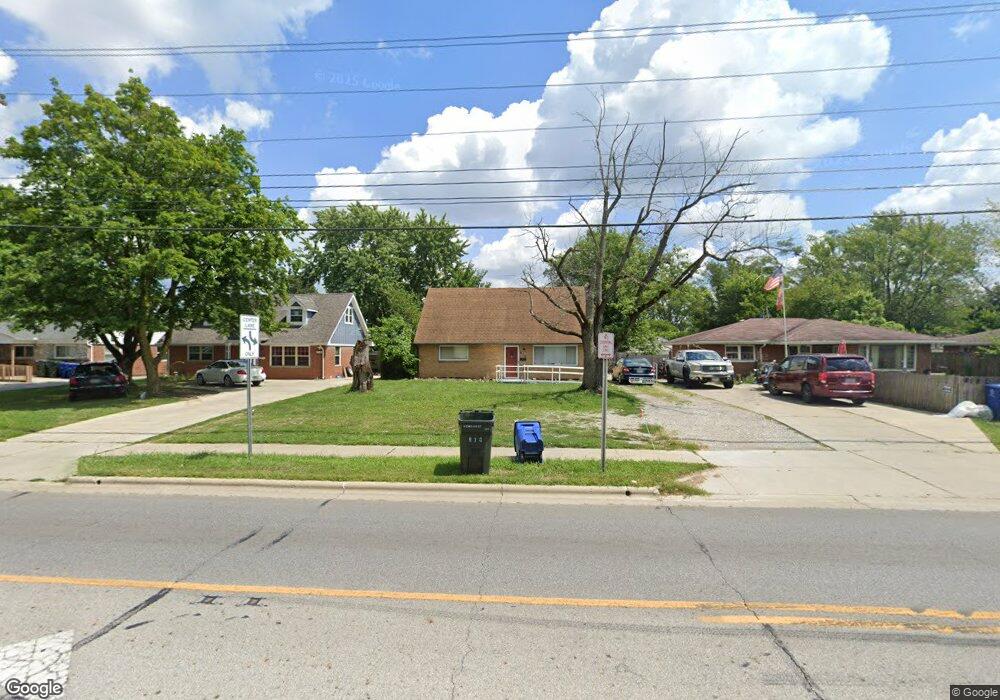
870 Demorest Rd Columbus, OH 43204
Southwest Hilltop NeighborhoodEstimated Value: $174,000 - $246,000
4
Beds
2
Baths
1,332
Sq Ft
$152/Sq Ft
Est. Value
About This Home
This home is located at 870 Demorest Rd, Columbus, OH 43204 and is currently estimated at $202,650, approximately $152 per square foot. 870 Demorest Rd is a home located in Franklin County with nearby schools including Binns Elementary School, Wedgewood Middle School, and Briggs High School.
Ownership History
Date
Name
Owned For
Owner Type
Purchase Details
Closed on
Oct 31, 2000
Sold by
Slee Marjorie M and Slee Marjorie M
Bought by
Taylor Jerry A
Current Estimated Value
Home Financials for this Owner
Home Financials are based on the most recent Mortgage that was taken out on this home.
Original Mortgage
$79,900
Outstanding Balance
$28,646
Interest Rate
7.87%
Mortgage Type
VA
Estimated Equity
$174,004
Purchase Details
Closed on
Nov 27, 1981
Bought by
Slee Marjorie M
Create a Home Valuation Report for This Property
The Home Valuation Report is an in-depth analysis detailing your home's value as well as a comparison with similar homes in the area
Home Values in the Area
Average Home Value in this Area
Purchase History
| Date | Buyer | Sale Price | Title Company |
|---|---|---|---|
| Taylor Jerry A | $79,900 | Chicago Title | |
| Slee Marjorie M | -- | -- |
Source: Public Records
Mortgage History
| Date | Status | Borrower | Loan Amount |
|---|---|---|---|
| Open | Taylor Jerry A | $79,900 |
Source: Public Records
Tax History
| Year | Tax Paid | Tax Assessment Tax Assessment Total Assessment is a certain percentage of the fair market value that is determined by local assessors to be the total taxable value of land and additions on the property. | Land | Improvement |
|---|---|---|---|---|
| 2025 | $2,209 | $59,010 | $15,540 | $43,470 |
| 2024 | $2,209 | $59,010 | $15,540 | $43,470 |
| 2023 | $2,208 | $59,010 | $15,540 | $43,470 |
| 2022 | $1,233 | $32,520 | $7,250 | $25,270 |
| 2021 | $1,690 | $32,520 | $7,250 | $25,270 |
| 2020 | $1,692 | $32,520 | $7,250 | $25,270 |
| 2019 | $1,629 | $26,850 | $6,020 | $20,830 |
| 2018 | $1,443 | $26,850 | $6,020 | $20,830 |
| 2017 | $1,628 | $26,850 | $6,020 | $20,830 |
| 2016 | $1,389 | $20,970 | $4,520 | $16,450 |
| 2015 | $1,261 | $20,970 | $4,520 | $16,450 |
| 2014 | $1,264 | $20,970 | $4,520 | $16,450 |
| 2013 | $734 | $24,675 | $5,320 | $19,355 |
Source: Public Records
Map
Nearby Homes
- 814 Miriam Dr W
- 3551 Glorious Rd
- 3340 Miriam Dr S
- 840 Mark Place
- 3318 Miriam Dr S
- 695 Demorest Rd
- 945 S Brinker Ave
- 3755 Lynward Rd
- 912 Maurine Dr
- 3276 Sullivant Ave Unit 278
- 894 Binns Blvd
- 793 Binns Blvd
- 3667-3673 Mccarley Dr S
- 3860 Briggs Rd
- 1175-1177 Mccarley Dr S
- 3859 Briggs Rd
- 1309 Treehaven Ln
- 988 S Roys Ave
- 570 S Westgate Ave
- 693 Maurine Dr
- 862 Demorest Rd
- 878 Demorest Rd
- 886 Demorest Rd
- 854 Demorest Rd
- 846 Demorest Rd
- 871 Stephen Dr W
- 896 Demorest Rd
- 863 Stephen Dr W
- 879 Stephen Dr W
- 855 Stephen Dr W
- 879 W Stephen Dr
- 887 Stephen Dr W
- 838 Demorest Rd
- 867 Demorest Rd
- 859 Demorest Rd
- 875 Demorest Rd
- 847 Stephen Dr W
- 904 Demorest Rd
- 899 Stephen Dr W
- 851 Demorest Rd
Your Personal Tour Guide
Ask me questions while you tour the home.