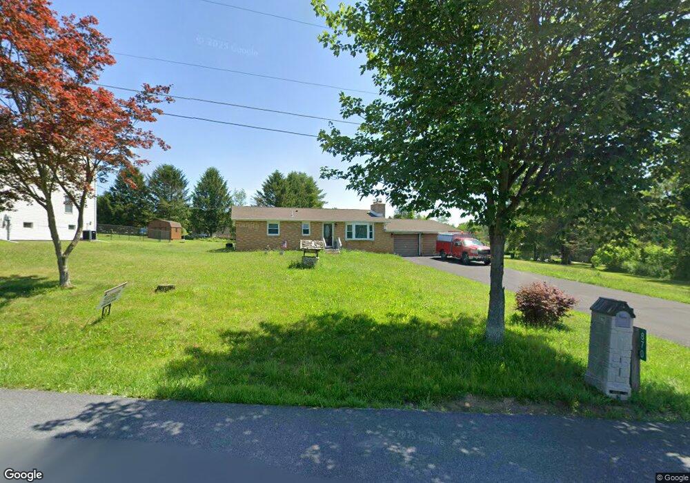
870 Koch Rd Kunkletown, PA 18058
Estimated Value: $267,801 - $292,000
3
Beds
1
Bath
1,120
Sq Ft
$250/Sq Ft
Est. Value
About This Home
This home is located at 870 Koch Rd, Kunkletown, PA 18058 and is currently estimated at $279,950, approximately $249 per square foot. 870 Koch Rd is a home located in Carbon County with nearby schools including Palmerton Area High School.
Ownership History
Date
Name
Owned For
Owner Type
Purchase Details
Closed on
May 22, 2017
Sold by
Durant Christine and Durant Michael O
Bought by
Maranuk John Paul and Maranuk Angela Pearl
Current Estimated Value
Home Financials for this Owner
Home Financials are based on the most recent Mortgage that was taken out on this home.
Original Mortgage
$114,945
Outstanding Balance
$95,538
Interest Rate
4.08%
Mortgage Type
New Conventional
Estimated Equity
$184,412
Purchase Details
Closed on
Sep 22, 2005
Sold by
Kunkle Paul E and Kunkle Dativa C
Bought by
Durant Christine and Durant Michael O
Home Financials for this Owner
Home Financials are based on the most recent Mortgage that was taken out on this home.
Original Mortgage
$80,000
Interest Rate
5.84%
Mortgage Type
New Conventional
Create a Home Valuation Report for This Property
The Home Valuation Report is an in-depth analysis detailing your home's value as well as a comparison with similar homes in the area
Home Values in the Area
Average Home Value in this Area
Purchase History
| Date | Buyer | Sale Price | Title Company |
|---|---|---|---|
| Maranuk John Paul | $118,500 | Attorney | |
| Durant Christine | $132,000 | None Available |
Source: Public Records
Mortgage History
| Date | Status | Borrower | Loan Amount |
|---|---|---|---|
| Open | Maranuk John Paul | $114,945 | |
| Previous Owner | Durant Christine | $80,000 |
Source: Public Records
Tax History Compared to Growth
Tax History
| Year | Tax Paid | Tax Assessment Tax Assessment Total Assessment is a certain percentage of the fair market value that is determined by local assessors to be the total taxable value of land and additions on the property. | Land | Improvement |
|---|---|---|---|---|
| 2025 | $4,368 | $52,050 | $11,150 | $40,900 |
| 2024 | $4,160 | $52,050 | $11,150 | $40,900 |
| 2023 | $4,016 | $52,050 | $11,150 | $40,900 |
| 2022 | $3,872 | $52,050 | $11,150 | $40,900 |
| 2021 | $3,749 | $52,050 | $11,150 | $40,900 |
| 2020 | $3,697 | $52,050 | $11,150 | $40,900 |
| 2019 | $3,593 | $52,050 | $11,150 | $40,900 |
| 2018 | $3,593 | $52,050 | $11,150 | $40,900 |
| 2017 | $3,528 | $52,050 | $11,150 | $40,900 |
| 2016 | -- | $52,050 | $11,150 | $40,900 |
| 2015 | -- | $52,050 | $11,150 | $40,900 |
| 2014 | -- | $52,050 | $11,150 | $40,900 |
Source: Public Records
Map
Nearby Homes
- 85 Panorama Cir
- 125 Hillview Rd
- 90 Halina Way
- 2 T425
- 157 Viewtop Rd
- 1101 Red Fox Ct Unit Ct 9
- 0 T425
- 229 Deer Path
- 969 Hideaway Hill Rd
- 207 Scenic Dr
- 150 Red Oak Dr
- Lot 32 Greenview Ct
- 209 Floyd Dr
- 424 Mark Ln
- 1160 Dayne Dr
- 0 Preacher's Camp Dr Unit PM-137021
- 0 Victoria Arms Cir Unit PM-133039
- 0 Sr 209 Unit PM-130225
- Lot T 444 Lower Middle Creek Rd
- 295 Hty Rd