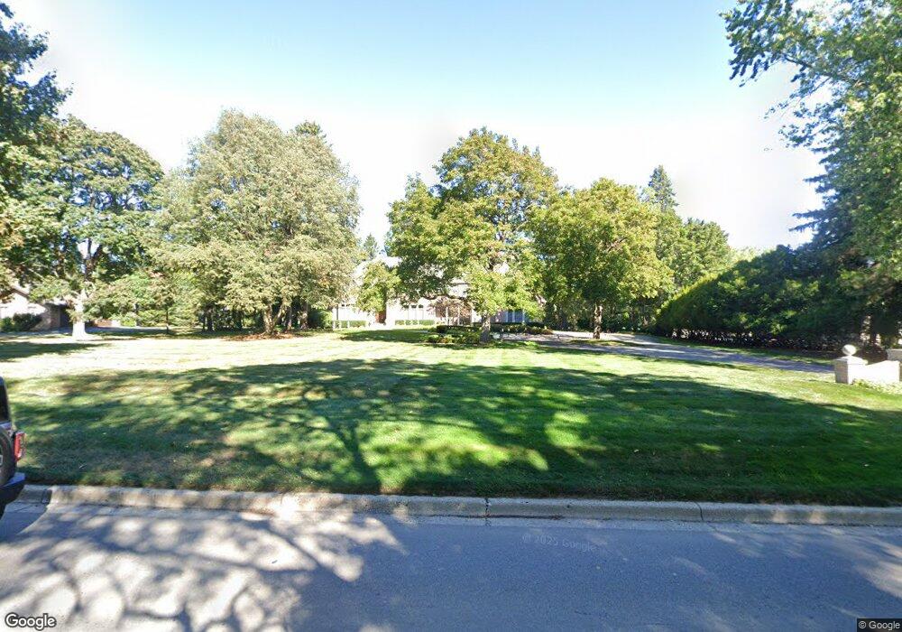
870 Lone Pine Rd Bloomfield Hills, MI 48302
Estimated Value: $1,781,000 - $2,034,000
4
Beds
6
Baths
4,936
Sq Ft
$388/Sq Ft
Est. Value
About This Home
This home is located at 870 Lone Pine Rd, Bloomfield Hills, MI 48302 and is currently estimated at $1,914,129, approximately $387 per square foot. 870 Lone Pine Rd is a home located in Oakland County with nearby schools including South Hills Middle School, Way Elementary School, and Bloomfield Hills High School.
Ownership History
Date
Name
Owned For
Owner Type
Purchase Details
Closed on
Feb 23, 2007
Sold by
Golusin Millard R and Golusin Cvetana Cindy
Bought by
Smith Daniel R and Mirabitur Catherine A
Current Estimated Value
Purchase Details
Closed on
Apr 24, 1997
Sold by
Wainstock Susan L
Bought by
Golusin Millard R
Home Financials for this Owner
Home Financials are based on the most recent Mortgage that was taken out on this home.
Original Mortgage
$252,000
Interest Rate
8.17%
Create a Home Valuation Report for This Property
The Home Valuation Report is an in-depth analysis detailing your home's value as well as a comparison with similar homes in the area
Home Values in the Area
Average Home Value in this Area
Purchase History
| Date | Buyer | Sale Price | Title Company |
|---|---|---|---|
| Smith Daniel R | -- | Philip R Seaver Title Co Inc | |
| Golusin Millard R | -- | -- |
Source: Public Records
Mortgage History
| Date | Status | Borrower | Loan Amount |
|---|---|---|---|
| Previous Owner | Golusin Millard R | $252,000 |
Source: Public Records
Tax History Compared to Growth
Tax History
| Year | Tax Paid | Tax Assessment Tax Assessment Total Assessment is a certain percentage of the fair market value that is determined by local assessors to be the total taxable value of land and additions on the property. | Land | Improvement |
|---|---|---|---|---|
| 2024 | $11,362 | $839,210 | $0 | $0 |
| 2023 | $10,995 | $795,760 | $0 | $0 |
| 2022 | $20,663 | $705,180 | $0 | $0 |
| 2021 | $20,517 | $676,920 | $0 | $0 |
| 2020 | $10,056 | $666,700 | $0 | $0 |
| 2019 | $19,303 | $734,450 | $0 | $0 |
| 2018 | $19,392 | $713,040 | $0 | $0 |
| 2017 | $18,852 | $678,540 | $0 | $0 |
| 2016 | $18,884 | $693,560 | $0 | $0 |
| 2015 | -- | $681,470 | $0 | $0 |
| 2014 | -- | $661,860 | $0 | $0 |
| 2011 | -- | $442,220 | $0 | $0 |
Source: Public Records
Map
Nearby Homes
- 4650 Lahser Rd
- 1027 Joanne Ct
- 692 Bennington Dr
- 5080 Tootmoor Rd
- 5129 Woodlands Ln
- 5137 Woodlands Dr Unit 24
- 931 Vaughan Rd
- 596 Rudgate Rd
- 00 Telegraph Rd
- 0 Telegraph Rd
- 4255 Telegraph Rd
- 1348 Charrington Rd
- 921 Pine Thistle Ln
- 5008 Kings Gate Way
- 1287 Charrington Rd
- 801 W Long Lake Rd
- 5100 Kings Gate Way
- 5825 Lahser Rd
- 3546 Bloomfield Club Dr
- 5741 Snowshoe Cir
- 860 Lone Pine Rd
- 880 Lone Pine Rd
- 871 Harsdale Rd
- 885 Harsdale Rd
- 855 Harsdale Rd
- 877 Lone Pine Rd
- 850 Lone Pine Rd
- 895 Harsdale Rd
- 853 Lone Pine Rd
- 835 Harsdale Rd
- 5015 Ponvalley Rd
- 880 Harsdale Rd
- 899 Lone Pine Rd
- 845 Lone Pine Rd Unit Bldg-Unit
- 845 Lone Pine Rd
- 4950 Stoneleigh Rd Unit Bldg-Unit
- 4950 Stoneleigh Rd
- 860 Harsdale Rd
- 854 Jonathan Ln
- 899 W Harsdale Rd