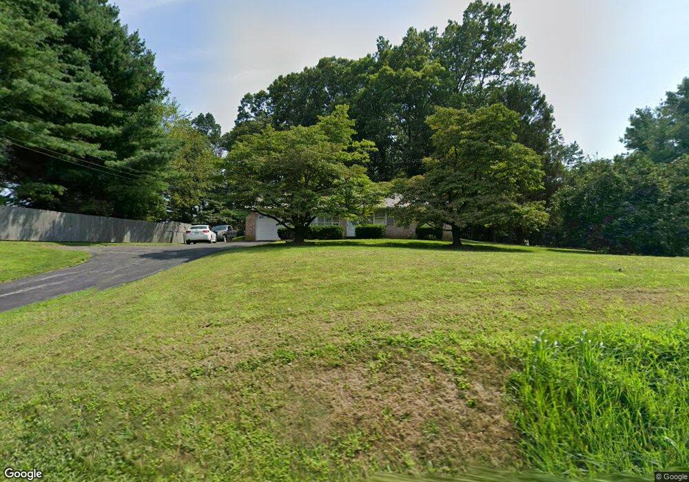
870 Main St Fawn Grove, PA 17321
Estimated Value: $211,000 - $318,000
3
Beds
1
Bath
1,120
Sq Ft
$242/Sq Ft
Est. Value
About This Home
This home is located at 870 Main St, Fawn Grove, PA 17321 and is currently estimated at $271,019, approximately $241 per square foot. 870 Main St is a home located in York County with nearby schools including South Eastern Intermediate School, South Eastern Middle School, and Kennard-Dale High School.
Ownership History
Date
Name
Owned For
Owner Type
Purchase Details
Closed on
Feb 24, 2003
Sold by
Dickson Helen R and Dickson Kermit E
Bought by
Dickson Stephen W
Current Estimated Value
Home Financials for this Owner
Home Financials are based on the most recent Mortgage that was taken out on this home.
Original Mortgage
$110,000
Outstanding Balance
$49,821
Interest Rate
5.98%
Mortgage Type
Purchase Money Mortgage
Estimated Equity
$221,198
Purchase Details
Closed on
Sep 23, 1968
Bought by
Dickson Helen R and Dickson Kermit E
Create a Home Valuation Report for This Property
The Home Valuation Report is an in-depth analysis detailing your home's value as well as a comparison with similar homes in the area
Home Values in the Area
Average Home Value in this Area
Purchase History
| Date | Buyer | Sale Price | Title Company |
|---|---|---|---|
| Dickson Stephen W | -- | -- | |
| Dickson Helen R | -- | -- |
Source: Public Records
Mortgage History
| Date | Status | Borrower | Loan Amount |
|---|---|---|---|
| Open | Dickson Stephen W | $110,000 |
Source: Public Records
Tax History Compared to Growth
Tax History
| Year | Tax Paid | Tax Assessment Tax Assessment Total Assessment is a certain percentage of the fair market value that is determined by local assessors to be the total taxable value of land and additions on the property. | Land | Improvement |
|---|---|---|---|---|
| 2025 | $4,658 | $155,770 | $58,010 | $97,760 |
| 2024 | $4,658 | $155,770 | $58,010 | $97,760 |
| 2023 | $4,658 | $155,770 | $58,010 | $97,760 |
| 2022 | $4,658 | $155,770 | $58,010 | $97,760 |
| 2021 | $4,502 | $155,770 | $58,010 | $97,760 |
| 2020 | $4,502 | $155,770 | $58,010 | $97,760 |
| 2019 | $4,486 | $155,770 | $58,010 | $97,760 |
| 2018 | $4,486 | $155,770 | $58,010 | $97,760 |
| 2017 | $4,486 | $155,770 | $58,010 | $97,760 |
| 2016 | $0 | $155,770 | $58,010 | $97,760 |
| 2015 | -- | $155,770 | $58,010 | $97,760 |
| 2014 | -- | $155,770 | $58,010 | $97,760 |
Source: Public Records
Map
Nearby Homes
- 2131 Channel Rd
- 1701 Scott Rd
- 31 N Market St
- 387 Garvine Mill Rd
- 4816 Amos Rd
- 5403 New Park Rd
- 0 Lutz Rd Unit PAYK2091350
- 5121 Meadowview Dr
- 2623 Urey Rd
- 2735 Meadow Tree Dr
- 2913 Duncan Rd
- 14292 Kilgore Rd
- 5371 Long Corner Rd
- 194 Cook Rd
- 267 Cook Rd
- 2913 Whiteford Rd
- 101 Saint Marys Rd
- 4522 Madonna Rd
- 1038 Woodshire Ln
- 5330 Long Corner Rd