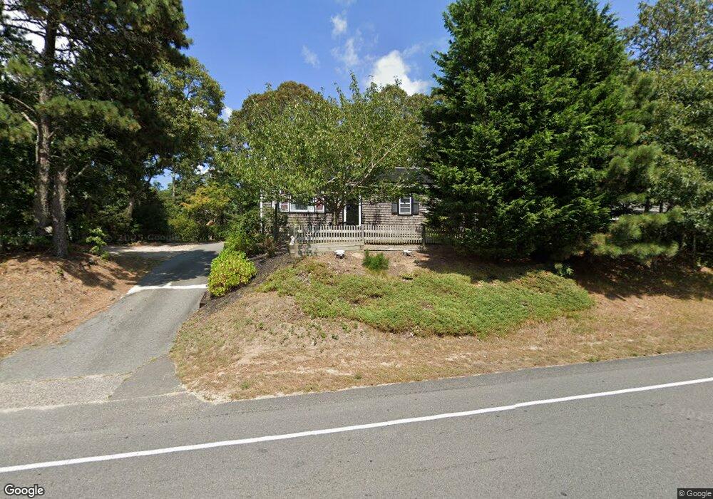
870 Queen Anne Rd Harwich, MA 02645
East Harwich NeighborhoodEstimated Value: $521,092 - $729,000
2
Beds
1
Bath
864
Sq Ft
$711/Sq Ft
Est. Value
About This Home
This home is located at 870 Queen Anne Rd, Harwich, MA 02645 and is currently estimated at $614,023, approximately $710 per square foot. 870 Queen Anne Rd is a home located in Barnstable County with nearby schools including Harwich Elementary School, Chatham Elementary School, and Monomoy Regional Middle School.
Ownership History
Date
Name
Owned For
Owner Type
Purchase Details
Closed on
Sep 3, 1999
Sold by
Janelle Ramona M
Bought by
Reese Timothy M and Stroup Stacey L
Current Estimated Value
Home Financials for this Owner
Home Financials are based on the most recent Mortgage that was taken out on this home.
Original Mortgage
$86,250
Outstanding Balance
$24,942
Interest Rate
7.5%
Mortgage Type
Purchase Money Mortgage
Estimated Equity
$589,081
Create a Home Valuation Report for This Property
The Home Valuation Report is an in-depth analysis detailing your home's value as well as a comparison with similar homes in the area
Home Values in the Area
Average Home Value in this Area
Purchase History
| Date | Buyer | Sale Price | Title Company |
|---|---|---|---|
| Reese Timothy M | $115,000 | -- |
Source: Public Records
Mortgage History
| Date | Status | Borrower | Loan Amount |
|---|---|---|---|
| Open | Reese Timothy M | $86,250 |
Source: Public Records
Tax History Compared to Growth
Tax History
| Year | Tax Paid | Tax Assessment Tax Assessment Total Assessment is a certain percentage of the fair market value that is determined by local assessors to be the total taxable value of land and additions on the property. | Land | Improvement |
|---|---|---|---|---|
| 2025 | $2,451 | $414,800 | $160,000 | $254,800 |
| 2024 | $2,606 | $432,100 | $188,600 | $243,500 |
| 2023 | $2,512 | $378,300 | $171,500 | $206,800 |
| 2022 | $2,502 | $308,500 | $149,100 | $159,400 |
| 2021 | $2,325 | $270,300 | $135,600 | $134,700 |
| 2020 | $2,302 | $263,700 | $132,700 | $131,000 |
| 2019 | $2,146 | $247,500 | $126,600 | $120,900 |
| 2018 | $2,145 | $236,700 | $115,100 | $121,600 |
| 2017 | $1,888 | $210,500 | $95,300 | $115,200 |
| 2016 | $1,852 | $204,200 | $95,300 | $108,900 |
| 2015 | $1,788 | $199,300 | $93,500 | $105,800 |
| 2014 | $1,708 | $194,700 | $90,700 | $104,000 |
Source: Public Records
Map
Nearby Homes
- 850 Queen Anne Rd
- 38 Rainbow Way
- 299 Depot Rd
- 7 Sandy Ln
- 10 Lakeside Terrace
- 16 Turtle Run
- 44 Old Heritage Way
- 194 John Joseph Rd
- Lot 2 Round Cove Rd
- 16 Partridge Ln
- 1025 Orleans-Harwich Rd
- 6 Levi's Ln
- 26 Walkerwoods Dr
- 47 Whidah Dr
- 3 Seagull Ln
- 6 Cora Nickerson Rd
- 957 Orleans Rd
- 24 Chickadee Ln
- 24 Chickadee Cir
- 6 Marthas Ln
- 870 Queen Ann Rd
- 874 Queen Anne Rd
- 866 Queen Anne Rd
- 7 Popple Grove Rd
- 8 Hawksnest Rd
- 869 Queen Anne Rd
- 867 Queen Anne Rd
- 878 Queen Anne Rd
- 862 Queen Anne Rd
- 5 Ripple Way
- 873 Queen Anne Rd
- 6 Popple Grove Rd
- 15 Popple Grove
- 15 Popple Grove Rd
- 6 Ripple Way
- 879 Queen Anne Rd
- 884 Queen Anne Rd
- 9 Ripple Way
- 858 Queen Anne Rd
- 2 Haromar Heath Rd