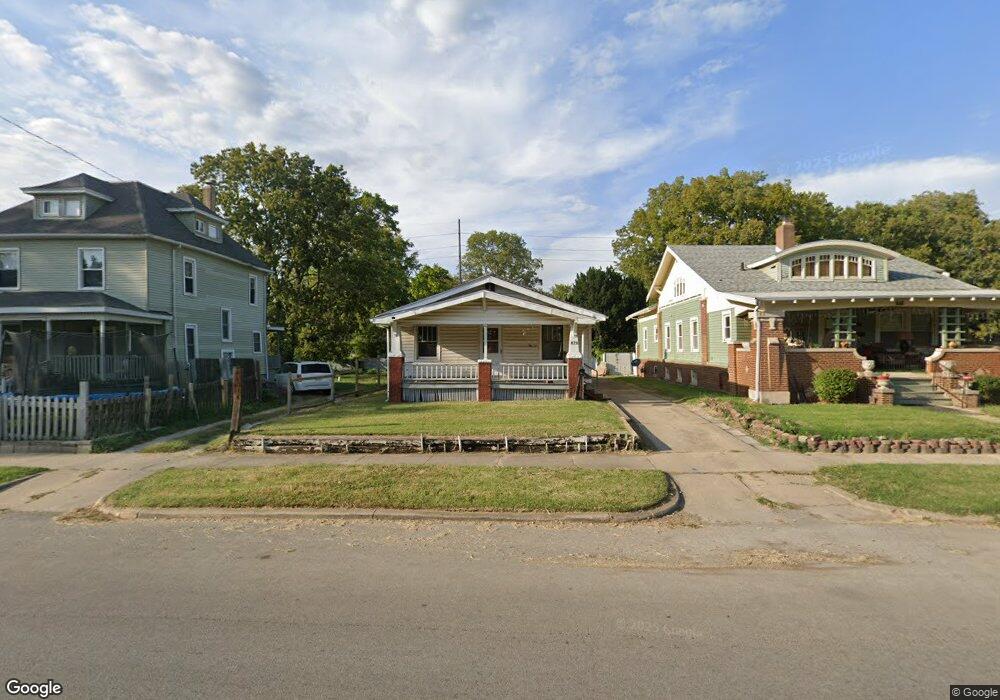
870 W Decatur St Decatur, IL 62522
Near West NeighborhoodEstimated Value: $50,000 - $60,000
--
Bed
--
Bath
1,092
Sq Ft
$51/Sq Ft
Est. Value
About This Home
This home is located at 870 W Decatur St, Decatur, IL 62522 and is currently estimated at $55,191, approximately $50 per square foot. 870 W Decatur St is a home located in Macon County with nearby schools including Dennis Lab School, St. Patrick School, and Teen Challenge-Home For Girls.
Ownership History
Date
Name
Owned For
Owner Type
Purchase Details
Closed on
Jun 15, 2020
Sold by
Hendrian Andrew R
Bought by
Camareno Maria G
Current Estimated Value
Purchase Details
Closed on
Jan 2, 2018
Sold by
Beasley Edward E
Bought by
Hendrian Andrew R
Home Financials for this Owner
Home Financials are based on the most recent Mortgage that was taken out on this home.
Original Mortgage
$243,748
Interest Rate
3.95%
Mortgage Type
Reverse Mortgage Home Equity Conversion Mortgage
Create a Home Valuation Report for This Property
The Home Valuation Report is an in-depth analysis detailing your home's value as well as a comparison with similar homes in the area
Home Values in the Area
Average Home Value in this Area
Purchase History
| Date | Buyer | Sale Price | Title Company |
|---|---|---|---|
| Camareno Maria G | $17,500 | None Available | |
| Hendrian Andrew R | -- | -- |
Source: Public Records
Mortgage History
| Date | Status | Borrower | Loan Amount |
|---|---|---|---|
| Previous Owner | Hendrian Andrew R | $243,748 |
Source: Public Records
Tax History Compared to Growth
Tax History
| Year | Tax Paid | Tax Assessment Tax Assessment Total Assessment is a certain percentage of the fair market value that is determined by local assessors to be the total taxable value of land and additions on the property. | Land | Improvement |
|---|---|---|---|---|
| 2024 | $1,311 | $13,538 | $1,830 | $11,708 |
| 2023 | $1,300 | $13,059 | $1,765 | $11,294 |
| 2022 | $1,173 | $11,472 | $1,551 | $9,921 |
| 2021 | $1,102 | $10,714 | $1,449 | $9,265 |
| 2020 | $1,019 | $9,578 | $179 | $9,399 |
| 2019 | $1,019 | $9,578 | $179 | $9,399 |
| 2018 | $1,010 | $9,610 | $180 | $9,430 |
| 2017 | $1,034 | $9,867 | $185 | $9,682 |
| 2016 | $1,053 | $9,968 | $187 | $9,781 |
| 2015 | $1,001 | $9,792 | $184 | $9,608 |
| 2014 | $929 | $9,695 | $182 | $9,513 |
| 2013 | $960 | $10,059 | $189 | $9,870 |
Source: Public Records
Map
Nearby Homes
- 441 S Seigel St
- 899 W Main St
- 1005 W Main St
- 657 W Wood St
- 617 W Decatur St
- 612 W Macon St
- 628 W Forest Ave
- 650 S Crea St
- 717 W Prairie Ave Unit 2
- 437 Powers Ln
- 254 N Pine St
- 450 W Macon St
- 958 W William St
- 440 W Macon St
- 609 W William St
- 530 Powers Ln
- 580 Powers Ln
- 636 S Sycamore St
- 452 W Prairie Ave
- 442 W Prairie Ave
- 902 W Decatur St
- 860 W Decatur St
- 904 W Decatur St
- 840 W Decatur St
- 871 W Macon St
- 885 W Decatur St
- 861 W Macon St
- 875 W Decatur St
- 851 W Macon St
- 903 W Decatur St
- 905 W Macon St
- 930 W Decatur St
- 911 W Decatur St
- 843 W Macon St
- 822 W Decatur St
- 919 W Decatur St
- 863 W Decatur St
- 901 W Macon St
- 424 S Boyd St
- 837 W Decatur St