Estimated Value: $571,103 - $692,000
Studio
3
Baths
2,464
Sq Ft
$252/Sq Ft
Est. Value
About This Home
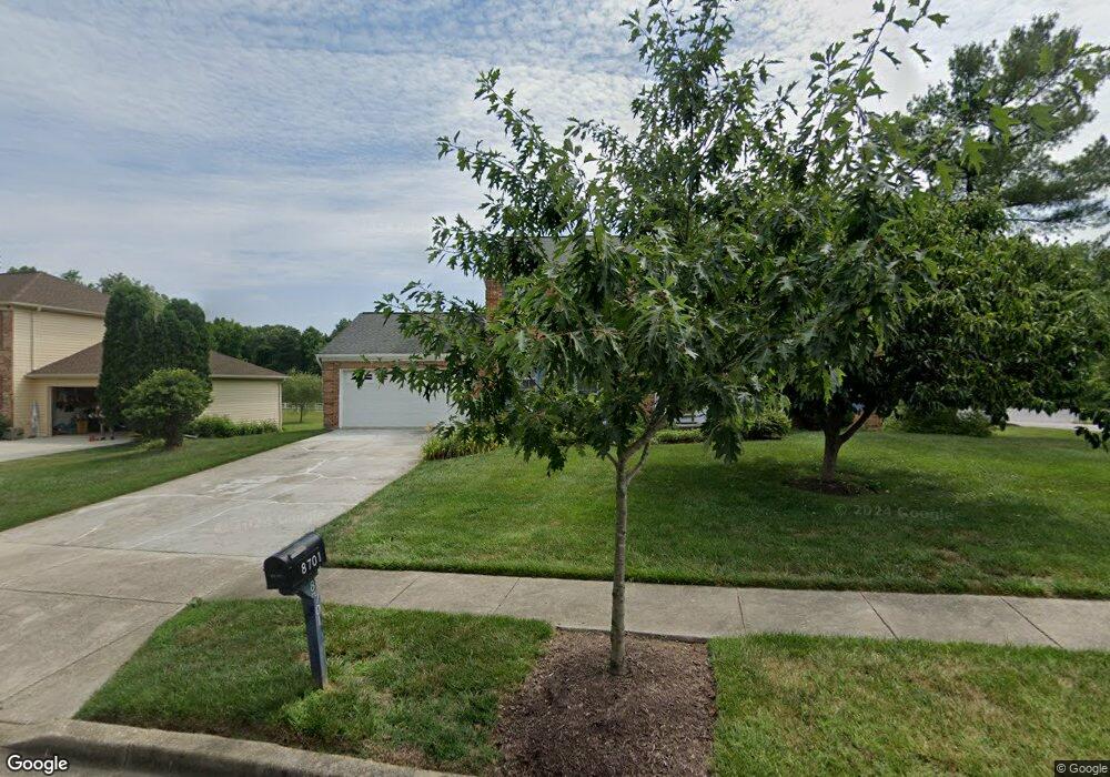
This home is located at 8701 Bryant Ct, Bowie, MD 20720 and is currently estimated at $621,276, approximately $252 per square foot. 8701 Bryant Ct is a home located in Prince George's County with nearby schools including Rockledge Elementary School, Samuel Ogle Middle School, and Bowie High School.
Ownership History
Date
Name
Owned For
Owner Type
Purchase Details
Closed on
Apr 17, 2016
Sold by
Cho Kyu Don and Cho Joung Sook
Bought by
Cho Kyu Don and Cho Joung Sook
Current Estimated Value
Home Financials for this Owner
Home Financials are based on the most recent Mortgage that was taken out on this home.
Original Mortgage
$205,300
Outstanding Balance
$165,464
Interest Rate
4.13%
Mortgage Type
New Conventional
Estimated Equity
$455,812
Purchase Details
Closed on
Feb 13, 1996
Sold by
Shirlen Jerry K
Bought by
Cho Kyu and Cho Don
Purchase Details
Closed on
Dec 6, 1988
Sold by
Ryland Group Inc
Bought by
Shirlen Jerry K and Shirlen Janice M
Create a Home Valuation Report for This Property
The Home Valuation Report is an in-depth analysis detailing your home's value as well as a comparison with similar homes in the area
Home Values in the Area
Average Home Value in this Area
Purchase History
| Date | Buyer | Sale Price | Title Company |
|---|---|---|---|
| Cho Kyu Don | -- | Millennium Title & Abstract | |
| Cho Kyu | $208,000 | -- | |
| Shirlen Jerry K | $211,800 | -- |
Source: Public Records
Mortgage History
| Date | Status | Borrower | Loan Amount |
|---|---|---|---|
| Open | Cho Kyu Don | $205,300 |
Source: Public Records
Tax History
| Year | Tax Paid | Tax Assessment Tax Assessment Total Assessment is a certain percentage of the fair market value that is determined by local assessors to be the total taxable value of land and additions on the property. | Land | Improvement |
|---|---|---|---|---|
| 2025 | $6,262 | $544,900 | $152,100 | $392,800 |
| 2024 | $6,262 | $505,200 | -- | -- |
| 2023 | $5,176 | $465,500 | $0 | $0 |
| 2022 | $5,618 | $425,800 | $102,100 | $323,700 |
| 2021 | $5,393 | $410,433 | $0 | $0 |
| 2020 | $5,289 | $395,067 | $0 | $0 |
| 2019 | $5,156 | $379,700 | $101,000 | $278,700 |
| 2018 | $5,014 | $367,933 | $0 | $0 |
| 2017 | $4,901 | $356,167 | $0 | $0 |
| 2016 | -- | $344,400 | $0 | $0 |
| 2015 | $4,728 | $322,633 | $0 | $0 |
| 2014 | $4,728 | $300,867 | $0 | $0 |
Source: Public Records
Map
Nearby Homes
- 8629 Park Ave
- 8424 Spruill Dr
- 8411 Spruill Dr
- 12603 Lanham Severn Rd
- 12800 7th St
- 12903 7th St
- 13001 4th St
- 8824 Old Laurel Bowie Rd
- 9407 Myrtle Ave
- 11706 Duckettown Rd
- 11690 Duckettown Rd
- 13205 10th St
- 8217 Quill Point Dr
- 12330 Quarterback Ct
- 12340 Quiet Owl Ln
- 11700 Moriarty Ct
- 11701 Moriarty Ct
- 13203 Falling Water Ct
- 8401 Springfield Rd
- 11605 Samit Way
- 8703 Bryant Ct
- 8617 Undermire Ct
- 12310 Backus Dr
- 8705 Bryant Ct
- 8704 Bryant Ct
- 8614 Undermire Ct
- 8707 Bryant Ct
- 8615 Undermire Ct
- 8625 Horsepen Rd
- 12308 Backus Dr
- 12309 Backus Dr
- 8612 Undermire Ct
- 8710 Bryant Ct
- 8709 Bryant Ct
- 8613 Undermire Ct
- 12306 Backus Dr
- 8610 Undermire Ct
- 12307 Backus Dr
- 8711 Bryant Ct
- 8611 Undermire Ct
Your Personal Tour Guide
Ask me questions while you tour the home.