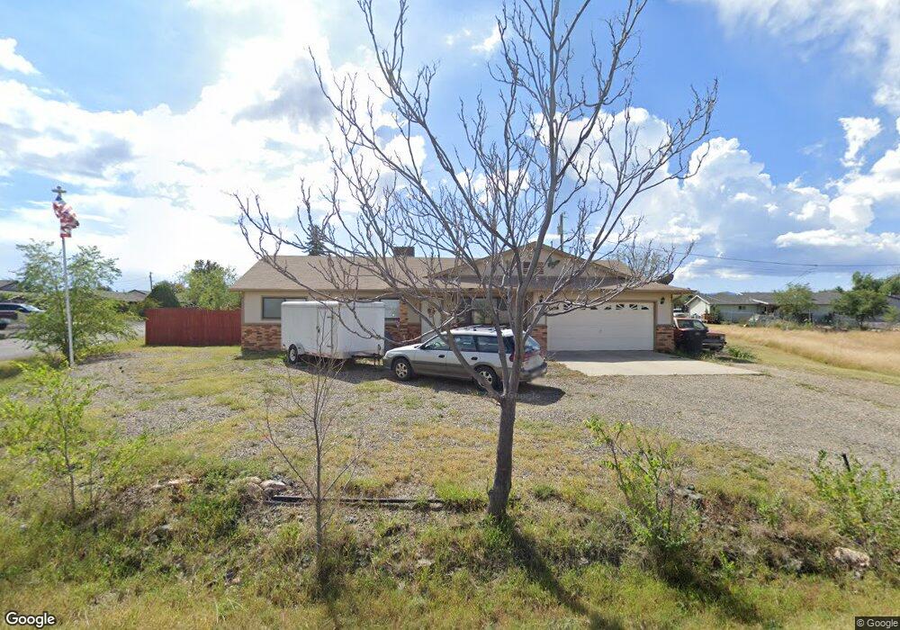
8701 E Apache Dr Prescott Valley, AZ 86314
Estimated Value: $364,000 - $398,000
3
Beds
2
Baths
1,380
Sq Ft
$272/Sq Ft
Est. Value
About This Home
This home is located at 8701 E Apache Dr, Prescott Valley, AZ 86314 and is currently estimated at $375,364, approximately $272 per square foot. 8701 E Apache Dr is a home located in Yavapai County with nearby schools including Granville Elementary School, Glassford Hill Middle School, and Bradshaw Mountain High School.
Ownership History
Date
Name
Owned For
Owner Type
Purchase Details
Closed on
Feb 2, 2026
Sold by
Robinson Ernest D and Robinson Janelle C
Bought by
E And J Robinson Trust and Robinson
Current Estimated Value
Purchase Details
Closed on
Oct 21, 2013
Sold by
Canfield Adam R and Canfield Victoria R
Bought by
Robinson Ernest D and Robinson Janelle C
Purchase Details
Closed on
Mar 6, 2012
Sold by
Secretary Of Housing & Urban Development
Bought by
Canfield Adam R and Canfield Victoria R
Purchase Details
Closed on
Sep 2, 2011
Sold by
Wells Fargo Bank Na
Bought by
Secretary Of Housing & Urban Development
Purchase Details
Closed on
Aug 25, 2011
Sold by
Rodgers Farrell L
Bought by
Wells Fargo Bank Na
Purchase Details
Closed on
Jul 13, 1998
Sold by
Bate Alex T and Bate June A
Bought by
Rodgers Farrell L and Rodgers Janell K
Home Financials for this Owner
Home Financials are based on the most recent Mortgage that was taken out on this home.
Original Mortgage
$81,700
Interest Rate
7.01%
Mortgage Type
New Conventional
Create a Home Valuation Report for This Property
The Home Valuation Report is an in-depth analysis detailing your home's value as well as a comparison with similar homes in the area
Purchase History
| Date | Buyer | Sale Price | Title Company |
|---|---|---|---|
| E And J Robinson Trust | -- | None Listed On Document | |
| Robinson Ernest D | $142,000 | Yavapai Title Agency Prescot | |
| Canfield Adam R | -- | Grand Canyon Title Agency In | |
| Secretary Of Housing & Urban Development | -- | Great American Title | |
| Wells Fargo Bank Na | $190,989 | Great American Title | |
| Rodgers Farrell L | $86,000 | Chicago Title Insurance Co |
Source: Public Records
Mortgage History
| Date | Status | Borrower | Loan Amount |
|---|---|---|---|
| Previous Owner | Rodgers Farrell L | $81,700 |
Source: Public Records
Tax History
| Year | Tax Paid | Tax Assessment Tax Assessment Total Assessment is a certain percentage of the fair market value that is determined by local assessors to be the total taxable value of land and additions on the property. | Land | Improvement |
|---|---|---|---|---|
| 2026 | $1,303 | $29,979 | -- | -- |
| 2024 | $1,194 | $31,274 | -- | -- |
| 2023 | $1,194 | $26,020 | $4,168 | $21,852 |
| 2022 | $1,175 | $20,944 | $2,868 | $18,076 |
| 2021 | $1,227 | $19,376 | $2,883 | $16,493 |
| 2020 | $1,180 | $0 | $0 | $0 |
| 2019 | $1,165 | $0 | $0 | $0 |
| 2018 | $1,108 | $0 | $0 | $0 |
| 2017 | $1,086 | $0 | $0 | $0 |
| 2016 | $1,050 | $0 | $0 | $0 |
| 2015 | $1,034 | $0 | $0 | $0 |
| 2014 | $978 | $0 | $0 | $0 |
Source: Public Records
Map
Nearby Homes
- 4767 N Stallion Dr
- 8613 E Hopi Dr
- 8840 E Westward Way
- 8591 E Tracy Dr
- 4471 N Romero Cir E Unit E
- 4581 N Ranger Rd
- 4518 N Ranger Rd
- 8920 E Cheryl Dr
- 4420 N Katie Cir E
- 4870 N Meixner Rd Unit 4
- 4857 N Ranger Rd
- 4834 N Carla Vista Dr
- 4517 N Katie Cir W
- 8850 E Roadrunner Dr
- 8835 E Totem Cir
- 4351 N Romero Cir W
- 4691 N Glenrosa Cir
- 4871 N Arnold Dr
- 0 E Lakeshore Dr Unit PAR1074038
- 8537 E Ackland Dr
- 8701 E Apache Dr
- 4662 N Stallion Dr
- 4681 N Stallion Dr
- 4701 N Stallion Dr
- 8696 E Apache Dr
- 8708 E Spouse Ct
- 4644 N Stallion Dr
- 4711 N Stallion Dr
- 8700 E Spouse Ct
- 8401 E Spouse Dr
- 4641 N Stallion Dr
- 8684 E Apache Dr
- 8671 E Apache Dr
- 8701 E Hopi Dr Unit 8
- 4723 N Stallion Dr
- 8691 E Hopi Dr
- 8691 E Hopi Dr Unit 8
- 8716 E Spouse Ct
- 4600 N Stallion Dr
- 8670 E Apache Dr
Your Personal Tour Guide
Ask me questions while you tour the home.