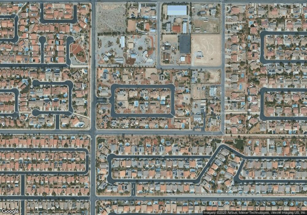
8702 Rhonda Blake Ave Las Vegas, NV 89143
Kyle Canyon NeighborhoodEstimated Value: $894,203 - $1,029,000
5
Beds
5
Baths
4,194
Sq Ft
$227/Sq Ft
Est. Value
About This Home
This home is located at 8702 Rhonda Blake Ave, Las Vegas, NV 89143 and is currently estimated at $952,801, approximately $227 per square foot. 8702 Rhonda Blake Ave is a home located in Clark County with nearby schools including Thomas O'Roarke Elementary School, Ralph Cadwallader Middle School, and Arbor View High School.
Ownership History
Date
Name
Owned For
Owner Type
Purchase Details
Closed on
Mar 14, 2024
Sold by
Macatiag Jesus E and Macatiag Estrella P
Bought by
Jesus And Estrella Macatiag 2024 Trust and Macatiag
Current Estimated Value
Purchase Details
Closed on
Feb 11, 2005
Sold by
Distinctive Homes At Taos Estates Ii Llc
Bought by
Macatiag Jesus E and Macatiag Estrella P
Home Financials for this Owner
Home Financials are based on the most recent Mortgage that was taken out on this home.
Original Mortgage
$385,650
Interest Rate
5.73%
Mortgage Type
Unknown
Create a Home Valuation Report for This Property
The Home Valuation Report is an in-depth analysis detailing your home's value as well as a comparison with similar homes in the area
Home Values in the Area
Average Home Value in this Area
Purchase History
| Date | Buyer | Sale Price | Title Company |
|---|---|---|---|
| Jesus And Estrella Macatiag 2024 Trust | -- | None Listed On Document | |
| Macatiag Jesus E | $756,268 | Lawyers Title Of Nevada |
Source: Public Records
Mortgage History
| Date | Status | Borrower | Loan Amount |
|---|---|---|---|
| Previous Owner | Macatiag Jesus E | $385,650 |
Source: Public Records
Tax History Compared to Growth
Tax History
| Year | Tax Paid | Tax Assessment Tax Assessment Total Assessment is a certain percentage of the fair market value that is determined by local assessors to be the total taxable value of land and additions on the property. | Land | Improvement |
|---|---|---|---|---|
| 2025 | $6,398 | $282,656 | $65,800 | $216,856 |
| 2024 | $5,924 | $282,656 | $65,800 | $216,856 |
| 2023 | $5,924 | $278,445 | $61,250 | $217,195 |
| 2022 | $5,486 | $259,678 | $61,250 | $198,428 |
| 2021 | $5,080 | $208,664 | $46,200 | $162,464 |
| 2020 | $4,714 | $210,478 | $49,700 | $160,778 |
| 2019 | $4,418 | $193,329 | $44,100 | $149,229 |
| 2018 | $4,215 | $179,591 | $35,000 | $144,591 |
| 2017 | $5,047 | $153,942 | $29,400 | $124,542 |
| 2016 | $3,945 | $138,541 | $23,450 | $115,091 |
| 2015 | $3,937 | $129,265 | $23,100 | $106,165 |
| 2014 | $3,815 | $112,925 | $15,750 | $97,175 |
Source: Public Records
Map
Nearby Homes
- 8640 Horse Dr
- 8728 Burning Hide Ave Unit 1
- 8833 Spinning Wheel Ave
- 8509 Brody Marsh Ave
- 8505 Starstruck Ave
- 8625 Wild Diamond Ave
- 8708 Honey Vine Ave
- 8913 Loggers Mill Ave Unit 40
- 8920 Iron Hitch Ave
- 10405 Red Dwarf St
- 10428 Red Dwarf St
- 10392 Red Dwarf St
- 9029 Tumblewood Ave
- 8301 Strawberry Spring St
- 10026 Cardinal Knoll Ave
- 8225 Dusty Valley Ct
- 8108 Terracotta Gulf Ct
- 8225 Romantic Sunset St
- 8020 Copperhead Creek St
- 8241 Harvest Spring Place
- 8618 Rhonda Blake Ave
- 8712 Rhonda Blake Ave
- 8701 James Raul Ave
- 8701 Rhonda Blake Ave
- 8619 James Raul Ave
- 8711 James Raul Ave
- 8621 Rhonda Blake Ave
- 8711 Rhonda Blake Ave
- 8722 Rhonda Blake Ave
- 8721 James Raul Ave
- 8721 Rhonda Blake Ave
- 8520 Doris Joan St
- 8611 Rhonda Blake Ave
- 8530 Doris Joan St
- 8700 James Raul Ave
- 8620 James Raul Ave
- 8732 Rhonda Blake Ave
- 8731 Rhonda Blake Ave
- 8710 James Raul Ave
- 8731 James Raul Ave
