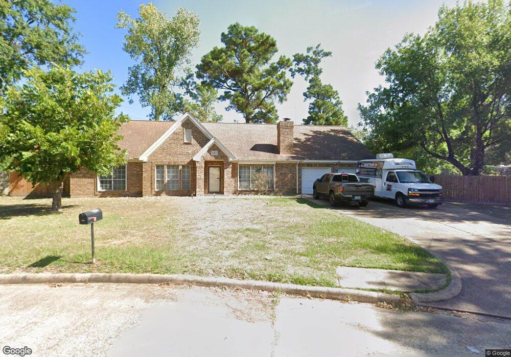
8702 Wind Side Dr Houston, TX 77040
Brookhollow West NeighborhoodEstimated Value: $291,000 - $339,863
3
Beds
2
Baths
2,051
Sq Ft
$154/Sq Ft
Est. Value
About This Home
This home is located at 8702 Wind Side Dr, Houston, TX 77040 and is currently estimated at $316,216, approximately $154 per square foot. 8702 Wind Side Dr is a home located in Harris County with nearby schools including Gleason Elementary School, Cook Middle School, and Jersey Village High School.
Ownership History
Date
Name
Owned For
Owner Type
Purchase Details
Closed on
Oct 27, 2010
Sold by
Hubbard Thomas J and Hubbard Lorraine M
Bought by
Hillen Linda S
Current Estimated Value
Home Financials for this Owner
Home Financials are based on the most recent Mortgage that was taken out on this home.
Original Mortgage
$116,000
Outstanding Balance
$1,734
Interest Rate
4.23%
Mortgage Type
New Conventional
Estimated Equity
$314,482
Create a Home Valuation Report for This Property
The Home Valuation Report is an in-depth analysis detailing your home's value as well as a comparison with similar homes in the area
Home Values in the Area
Average Home Value in this Area
Purchase History
| Date | Buyer | Sale Price | Title Company |
|---|---|---|---|
| Hillen Linda S | -- | Charter Title Company Fb |
Source: Public Records
Mortgage History
| Date | Status | Borrower | Loan Amount |
|---|---|---|---|
| Open | Hillen Linda S | $116,000 |
Source: Public Records
Tax History Compared to Growth
Tax History
| Year | Tax Paid | Tax Assessment Tax Assessment Total Assessment is a certain percentage of the fair market value that is determined by local assessors to be the total taxable value of land and additions on the property. | Land | Improvement |
|---|---|---|---|---|
| 2025 | $5,557 | $299,517 | $96,568 | $202,949 |
| 2024 | $5,557 | $301,469 | $87,561 | $213,908 |
| 2023 | $5,557 | $317,832 | $87,561 | $230,271 |
| 2022 | $5,317 | $267,461 | $73,051 | $194,410 |
| 2021 | $5,099 | $243,840 | $73,051 | $170,789 |
| 2020 | $4,168 | $193,466 | $61,043 | $132,423 |
| 2019 | $4,039 | $203,644 | $21,015 | $182,629 |
| 2018 | $2,601 | $180,650 | $21,015 | $159,635 |
| 2017 | $4,040 | $180,650 | $21,015 | $159,635 |
| 2016 | $4,040 | $180,650 | $21,015 | $159,635 |
| 2015 | $3,507 | $176,425 | $21,015 | $155,410 |
| 2014 | $3,507 | $156,275 | $17,512 | $138,763 |
Source: Public Records
Map
Nearby Homes
- 7714 Rolling Fork Ln
- 7802 Percussion Place
- 8715 Andante Dr
- 9118 Woodwind Lakes Dr
- 7605 Fairbanks North Houston Rd
- 8817 Emmott Rd
- 8111 Ivan Reid Dr
- 9427 Fern Wood Forest
- 8126 Ivan Reid Dr
- 7410 Wood Bluff Blvd
- 8131 Debbie Gay Dr
- 9315 Woodwind Lakes Dr
- 7823 Redlands Dr
- 7818 Stoneyway Dr
- 7311 Woodoak Dr
- 7824 Stoneyway Dr
- 7903 Bachwood Dr
- 7926 Stoneyway Dr
- 8403 Cienna Dr
- 8026 Clarion Way
- 0 Windside
- 8706 Wind Side Dr
- 7302 River Fern Dr
- 8710 Wind Side Dr
- 8654 Bart Ln
- 8734 Congo Ln
- 8714 Wind Side Dr
- 8711 Wind Side Dr
- 8702 Storm Wood St
- 8715 Wind Side Dr
- 8718 Wind Side Dr
- 7226 River Fern Dr
- 8652 Bart Ln
- 8706 Storm Wood St
- 8719 Wind Side Dr
- 8726 Congo Ln
- 8722 Wind Side Dr
- 8710 Storm Wood St
- 7222 River Fern Dr
- 8838 Congo Ln