8703 Brookside Rd Independence, OH 44131
Estimated Value: $398,000 - $551,000
5
Beds
3
Baths
4,432
Sq Ft
$112/Sq Ft
Est. Value
About This Home
This home is located at 8703 Brookside Rd, Independence, OH 44131 and is currently estimated at $495,545, approximately $111 per square foot. 8703 Brookside Rd is a home located in Cuyahoga County with nearby schools including Independence Primary School, Independence Middle School, and Independence High School.
Ownership History
Date
Name
Owned For
Owner Type
Purchase Details
Closed on
Sep 9, 2009
Sold by
Nick Rocky Mountain Llc
Bought by
Colantuono Louis J and Colantuono Geraldine A
Current Estimated Value
Purchase Details
Closed on
Jan 11, 2009
Sold by
Colantuono Louis P and Colantuono Geraldine
Bought by
Colantuono Louis P and Colantuono Geraldine
Purchase Details
Closed on
Feb 9, 2008
Sold by
Leone Marco and Leone Maria
Bought by
Nick Rocky Mountain Llc
Purchase Details
Closed on
Jun 16, 2006
Sold by
Vitt Ronald R
Bought by
Leone Maria and Leone Marco
Purchase Details
Closed on
Jan 1, 1975
Bought by
Vitt Ronald R and Vitt Darlene A
Create a Home Valuation Report for This Property
The Home Valuation Report is an in-depth analysis detailing your home's value as well as a comparison with similar homes in the area
Home Values in the Area
Average Home Value in this Area
Purchase History
| Date | Buyer | Sale Price | Title Company |
|---|---|---|---|
| Colantuono Louis J | $37,500 | Attorney | |
| Colantuono Louis J | -- | Attorney | |
| Colantuono Louis P | -- | Attorney | |
| Nick Rocky Mountain Llc | -- | Attorney | |
| Leone Maria | $342,000 | Gateway Title Agency | |
| Vitt Ronald R | -- | -- |
Source: Public Records
Tax History
| Year | Tax Paid | Tax Assessment Tax Assessment Total Assessment is a certain percentage of the fair market value that is determined by local assessors to be the total taxable value of land and additions on the property. | Land | Improvement |
|---|---|---|---|---|
| 2025 | $6,718 | $142,100 | $40,110 | $101,990 |
| 2024 | $6,960 | $142,100 | $40,110 | $101,990 |
| 2023 | $7,590 | $140,920 | $40,780 | $100,140 |
| 2022 | $7,550 | $140,910 | $40,780 | $100,140 |
| 2021 | $7,448 | $140,910 | $40,780 | $100,140 |
| 2020 | $7,281 | $129,290 | $37,420 | $91,880 |
| 2019 | $7,035 | $369,400 | $106,900 | $262,500 |
| 2018 | $7,402 | $129,290 | $37,420 | $91,880 |
| 2017 | $7,861 | $137,980 | $39,380 | $98,600 |
| 2016 | $7,784 | $137,980 | $39,380 | $98,600 |
| 2015 | $7,200 | $137,980 | $39,380 | $98,600 |
| 2014 | $7,200 | $127,750 | $36,470 | $91,280 |
Source: Public Records
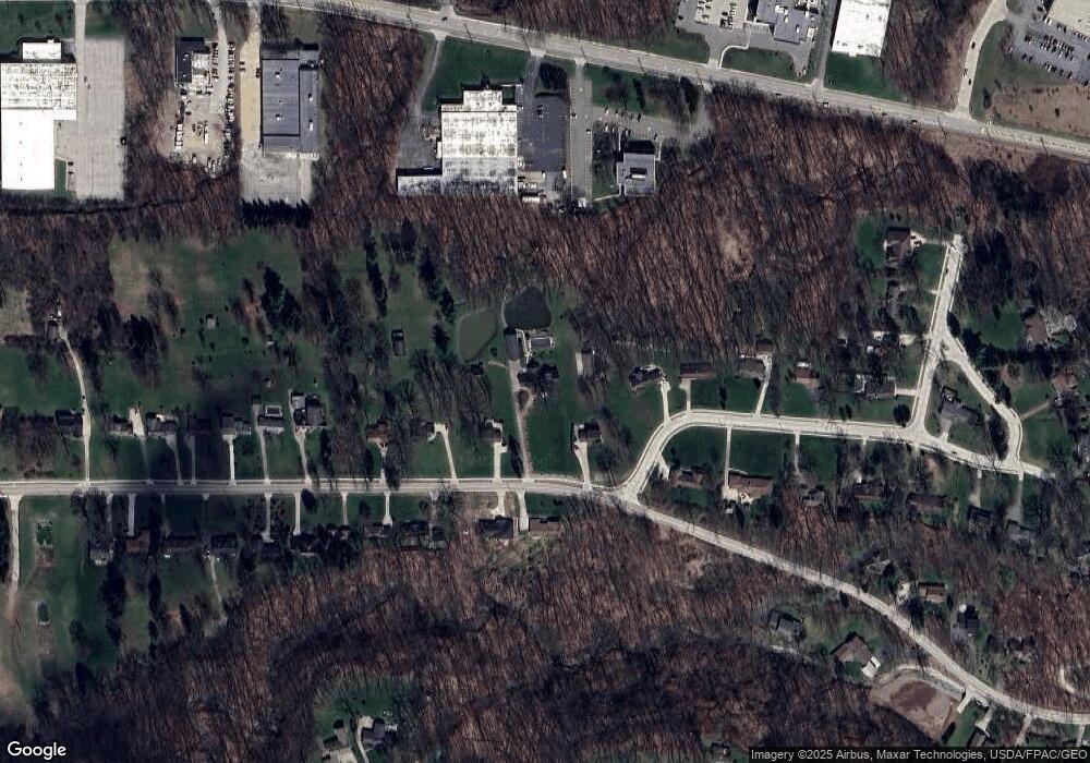
Map
Nearby Homes
- 7003 Brecksville Rd
- 6752 Rivercrest Dr
- SL 23 Kingscote Park
- 8001 Robin Ln
- 7040 Brecksville Rd
- 6312 E Pleasant Valley Rd
- 6626 Hawthorne Dr
- 7572 Scenicview Dr
- 6119 E Sprague Rd
- 6208 Dora Blvd
- 6878 W Fitzwater Rd Unit 41
- 10905 Greenhaven Pkwy
- 6930 Carriage Hill Dr Unit 101
- 6910 Carriage Hill Dr Unit 101
- 6910 Carriage Hill Dr Unit 104
- 4730 Eastview Dr
- 8442 Settlers Passage
- 0 Brecksville Rd
- 13325 Longspur Ct
- 8556 Brecksville Rd
- 8417 Brookside Rd
- 8709 Brookside Rd
- 8715 Bramley Dr
- 8403 Brookside Rd
- 8801 Bramley Dr
- 8800 Brookside Rd
- 8321 Brookside Rd
- 8818 Bramley Dr
- 8800 Bramley Dr
- 8414 Brookside Rd
- 8815 Bramley Dr
- 8311 Brookside Rd
- 8410 Brookside Rd
- 8408 Brookside Rd
- 8301 Brookside Rd
- 8915 Bramley Dr
- 8324 Brookside Rd
- 8219 Brookside Rd
- 8304 Brookside Rd
Your Personal Tour Guide
Ask me questions while you tour the home.