8704 Upton Rd Laingsburg, MI 48848
Estimated Value: $290,000 - $537,000
4
Beds
1
Bath
1,364
Sq Ft
$328/Sq Ft
Est. Value
About This Home
This home is located at 8704 Upton Rd, Laingsburg, MI 48848 and is currently estimated at $447,110, approximately $327 per square foot. 8704 Upton Rd is a home located in Clinton County with nearby schools including Laingsburg Elementary School, Laingsburg Middle School, and Laingsburg High School.
Ownership History
Date
Name
Owned For
Owner Type
Purchase Details
Closed on
Jul 26, 2018
Sold by
Morrill Dennis S and Morrill Judy L
Bought by
Morrill Dennis S and The Dennis S Morrill Trust
Current Estimated Value
Purchase Details
Closed on
Jan 17, 2014
Sold by
Keilen Diane
Bought by
K & K Dairy Farms Llc
Home Financials for this Owner
Home Financials are based on the most recent Mortgage that was taken out on this home.
Original Mortgage
$778,000
Outstanding Balance
$588,023
Interest Rate
4.42%
Mortgage Type
Future Advance Clause Open End Mortgage
Estimated Equity
-$140,913
Purchase Details
Closed on
Jan 6, 2003
Sold by
Cortright Jan A
Bought by
Morrill Dennis and Morrill Judy
Home Financials for this Owner
Home Financials are based on the most recent Mortgage that was taken out on this home.
Original Mortgage
$196,900
Interest Rate
6.13%
Mortgage Type
Purchase Money Mortgage
Create a Home Valuation Report for This Property
The Home Valuation Report is an in-depth analysis detailing your home's value as well as a comparison with similar homes in the area
Home Values in the Area
Average Home Value in this Area
Purchase History
| Date | Buyer | Sale Price | Title Company |
|---|---|---|---|
| Morrill Dennis S | -- | Sun Title Agency Of Michigan | |
| K & K Dairy Farms Llc | $725,000 | Midstate Title Agency Llc | |
| Morrill Dennis | $198,000 | Midstate Title Company |
Source: Public Records
Mortgage History
| Date | Status | Borrower | Loan Amount |
|---|---|---|---|
| Open | K & K Dairy Farms Llc | $778,000 | |
| Previous Owner | Morrill Dennis | $196,900 |
Source: Public Records
Tax History Compared to Growth
Tax History
| Year | Tax Paid | Tax Assessment Tax Assessment Total Assessment is a certain percentage of the fair market value that is determined by local assessors to be the total taxable value of land and additions on the property. | Land | Improvement |
|---|---|---|---|---|
| 2025 | $2,405 | $301,800 | $238,900 | $62,900 |
| 2024 | $840 | $270,600 | $204,100 | $66,500 |
| 2023 | $795 | $253,000 | $0 | $0 |
| 2022 | $2,235 | $240,700 | $187,400 | $53,300 |
| 2021 | $2,115 | $225,800 | $175,200 | $50,600 |
| 2020 | $1,925 | $226,000 | $175,200 | $50,800 |
| 2019 | $2,011 | $222,400 | $172,400 | $50,000 |
| 2018 | $1,724 | $222,700 | $171,400 | $51,300 |
| 2017 | $1,704 | $206,900 | $160,200 | $46,700 |
| 2016 | $1,682 | $207,100 | $160,200 | $46,900 |
| 2015 | $1,637 | $182,400 | $0 | $0 |
| 2011 | -- | $181,600 | $0 | $0 |
Source: Public Records
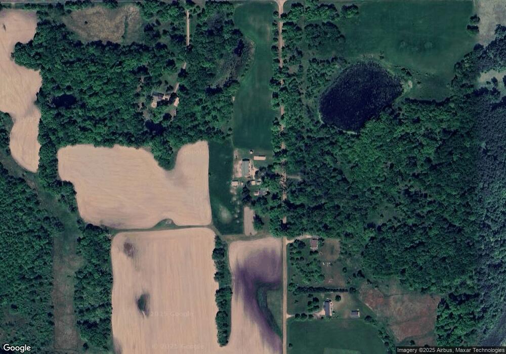
Map
Nearby Homes
- 7599 Alward Rd
- 9457 S Hollister Rd
- 7370 Cross Creek Dr
- 9195 Westchester Dr
- 780 N West St
- 702 N Oakland Dr
- V/L Victoria Shore Dr
- V/L W 2nd St N
- 0 Laingsburg Rd
- Parcel B S Hollister Rd
- 0 Peninsula Way
- 407 S Woodhull Rd
- 11315 Tamarack Trail
- 302 N Shiawassee St
- 11550 Tamarack Trail
- 11581 Tamarack Trail
- 6706 E Price Rd
- 0 Doyle Rd Unit 291996
- 8077 Hunter Rd
- 8584 E Parker Rd