Estimated Value: $135,000 - $156,000
3
Beds
2
Baths
1,792
Sq Ft
$79/Sq Ft
Est. Value
About This Home
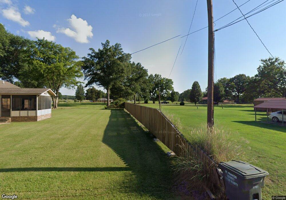
This home is located at 8705 Highway 1 N, Colt, AR 72326 and is currently estimated at $141,417, approximately $78 per square foot. 8705 Highway 1 N is a home located in St. Francis County with nearby schools including Central Elementary School, Stewart Elementary School, and Forrest City Junior High School.
Ownership History
Date
Name
Owned For
Owner Type
Purchase Details
Closed on
Dec 20, 2012
Bought by
Hobbs Family Rentals Llc
Current Estimated Value
Purchase Details
Closed on
Mar 30, 2012
Bought by
Mid-South Marketing Inc
Purchase Details
Closed on
Feb 28, 2007
Sold by
Davidson Ethel
Bought by
Warf Brenda L
Home Financials for this Owner
Home Financials are based on the most recent Mortgage that was taken out on this home.
Original Mortgage
$90,500
Interest Rate
6.25%
Mortgage Type
New Conventional
Create a Home Valuation Report for This Property
The Home Valuation Report is an in-depth analysis detailing your home's value as well as a comparison with similar homes in the area
Purchase History
| Date | Buyer | Sale Price | Title Company |
|---|---|---|---|
| Hobbs Family Rentals Llc | $115,000 | -- | |
| Mid-South Marketing Inc | $65,000 | -- | |
| Warf Brenda L | $85,000 | -- |
Source: Public Records
Mortgage History
| Date | Status | Borrower | Loan Amount |
|---|---|---|---|
| Previous Owner | Warf Brenda L | $90,500 |
Source: Public Records
Tax History
| Year | Tax Paid | Tax Assessment Tax Assessment Total Assessment is a certain percentage of the fair market value that is determined by local assessors to be the total taxable value of land and additions on the property. | Land | Improvement |
|---|---|---|---|---|
| 2025 | $960 | $22,960 | $900 | $22,060 |
| 2024 | $983 | $22,960 | $900 | $22,060 |
| 2023 | $812 | $22,960 | $900 | $22,060 |
| 2022 | $812 | $22,960 | $900 | $22,060 |
| 2021 | $738 | $17,170 | $900 | $16,270 |
| 2020 | $738 | $17,170 | $900 | $16,270 |
| 2019 | $755 | $17,170 | $900 | $16,270 |
| 2018 | $755 | $17,170 | $900 | $16,270 |
| 2017 | $755 | $17,170 | $900 | $16,270 |
| 2016 | $762 | $17,320 | $900 | $16,420 |
| 2015 | $762 | $17,320 | $900 | $16,420 |
| 2014 | $762 | $17,320 | $900 | $16,420 |
Source: Public Records
Map
Nearby Homes
- 347 Old Military Rd E
- 0 Sfc 355
- 2073 Arkansas 306
- 0 Good Hope Rd
- 2458 Sfc 311
- 211 Woods Rd
- 824 Arkansas 261
- 303 Evans Rd
- 481 Sfc 333
- 192 Sfc 322
- 90 County Road 7415
- 20 County Road 743
- 137 County Road 789
- 8697 Highway 284
- 357 Barry St E
- 371 Barry St E
- 362 Barry St E
- 398 Barry St E
- 4339 Highway 284
- 466 Sfc 313
- 9017 Highway 1 N
- 55 Kerr Rd
- 8999 Highway 1 N
- 8753 Highway 1 N
- 8657 Highway 1 N
- 8670 Highway 1 N
- 111 Davidson Park Rd
- 137 Davidson Park Rd
- 8841 Highway 1 N
- 203 Dorris
- 8852 Highway 1 N
- 8867 Highway 1 N
- 8523 Highway 1 N
- 130 Central
- 125 Central
- 132 Central
- 121 Central
- 8495 Highway 1 N
- 8836 Highway 1 N
- 117 Central
Your Personal Tour Guide
Ask me questions while you tour the home.