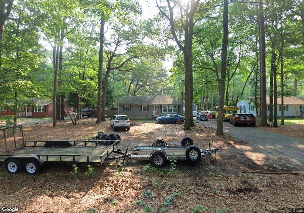
8705 N West Rd Salisbury, MD 21801
North Salisbury NeighborhoodEstimated Value: $208,517 - $264,000
--
Bed
1
Bath
1,008
Sq Ft
$241/Sq Ft
Est. Value
About This Home
This home is located at 8705 N West Rd, Salisbury, MD 21801 and is currently estimated at $243,379, approximately $241 per square foot. 8705 N West Rd is a home located in Wicomico County with nearby schools including Westside Primary School, Westside Intermediate School, and Salisbury Middle School.
Ownership History
Date
Name
Owned For
Owner Type
Purchase Details
Closed on
Feb 22, 2002
Sold by
Witt Carl T
Bought by
Wharton Jason Q
Current Estimated Value
Purchase Details
Closed on
Jul 1, 1997
Sold by
Witt Carl T and Witt Christine E
Bought by
Witt Carl T
Purchase Details
Closed on
Jun 17, 1991
Sold by
Herter Darlene
Bought by
Witt Carl T and Witt Christine E
Home Financials for this Owner
Home Financials are based on the most recent Mortgage that was taken out on this home.
Original Mortgage
$56,000
Interest Rate
9.66%
Create a Home Valuation Report for This Property
The Home Valuation Report is an in-depth analysis detailing your home's value as well as a comparison with similar homes in the area
Home Values in the Area
Average Home Value in this Area
Purchase History
| Date | Buyer | Sale Price | Title Company |
|---|---|---|---|
| Wharton Jason Q | $76,900 | -- | |
| Witt Carl T | -- | -- | |
| Witt Carl T | $56,000 | -- |
Source: Public Records
Mortgage History
| Date | Status | Borrower | Loan Amount |
|---|---|---|---|
| Previous Owner | Witt Carl T | $56,000 | |
| Closed | Wharton Jason Q | -- |
Source: Public Records
Tax History Compared to Growth
Tax History
| Year | Tax Paid | Tax Assessment Tax Assessment Total Assessment is a certain percentage of the fair market value that is determined by local assessors to be the total taxable value of land and additions on the property. | Land | Improvement |
|---|---|---|---|---|
| 2025 | $1,356 | $146,833 | $0 | $0 |
| 2024 | $1,356 | $135,167 | $0 | $0 |
| 2023 | $1,281 | $123,500 | $35,200 | $88,300 |
| 2022 | $1,279 | $119,600 | $0 | $0 |
| 2021 | $1,213 | $115,700 | $0 | $0 |
| 2020 | $1,213 | $111,800 | $35,200 | $76,600 |
| 2019 | $1,209 | $109,800 | $0 | $0 |
| 2018 | $1,194 | $107,800 | $0 | $0 |
| 2017 | $1,173 | $105,800 | $0 | $0 |
| 2016 | $1,169 | $104,833 | $0 | $0 |
| 2015 | $1,169 | $103,867 | $0 | $0 |
| 2014 | $1,169 | $102,900 | $0 | $0 |
Source: Public Records
Map
Nearby Homes
- 28481 Adkins Rd
- 0 Jersey Rd Unit MDWC2014880
- 0 Jersey Rd Unit MDWC2014870
- 0 Jersey Rd Unit MDWC2014878
- 0 Log Cabin Rd Unit MDWC2015458
- 28955 Log Cabin Rd
- 27500 Edgewood Cir
- 29167 Doubletree Dr
- 7877 Bennett Park Dr
- 27430 Log Cabin Rd
- 29463 Windy Hill Cir
- 0 Milford Twilley Dr Unit MDWC2013476
- 29484 Windy Hill Cir
- 7650 Fentral Ave
- 27567 Waller Rd
- 29592 Foskey Ln
- 0 Foskey Ln Unit MDWC2017454
- 0 Foskey Ln Unit MDWC112230
- 28600 Naylor Mill Rd
- 7545 Titleist Dr