Estimated Value: $200,000 - $363,266
4
Beds
4
Baths
3,146
Sq Ft
$91/Sq Ft
Est. Value
About This Home
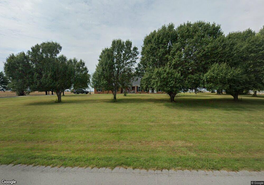
This home is located at 8705 State Route 270 W, Clay, KY 42404 and is currently estimated at $286,567, approximately $91 per square foot. 8705 State Route 270 W is a home located in Webster County with nearby schools including Webster County High School.
Ownership History
Date
Name
Owned For
Owner Type
Purchase Details
Closed on
Oct 18, 2013
Sold by
Stone Matthew B and Stone Amy D
Bought by
Lea Keith A
Current Estimated Value
Home Financials for this Owner
Home Financials are based on the most recent Mortgage that was taken out on this home.
Original Mortgage
$176,739
Outstanding Balance
$135,933
Interest Rate
5.12%
Mortgage Type
FHA
Estimated Equity
$150,634
Purchase Details
Closed on
Dec 31, 2009
Sold by
Richardson Benjamin D and Richardson Kathryn M
Bought by
Stone Matthew B and Stone Amy D
Home Financials for this Owner
Home Financials are based on the most recent Mortgage that was taken out on this home.
Original Mortgage
$171,830
Interest Rate
5.25%
Mortgage Type
FHA
Purchase Details
Closed on
Jun 27, 2006
Sold by
Stokes Donald and Stokes Diana
Bought by
Richardson Benjamin D and Richardson Kathryn M
Home Financials for this Owner
Home Financials are based on the most recent Mortgage that was taken out on this home.
Original Mortgage
$160,000
Interest Rate
6.6%
Mortgage Type
Unknown
Create a Home Valuation Report for This Property
The Home Valuation Report is an in-depth analysis detailing your home's value as well as a comparison with similar homes in the area
Home Values in the Area
Average Home Value in this Area
Purchase History
| Date | Buyer | Sale Price | Title Company |
|---|---|---|---|
| Lea Keith A | $180,000 | True Title Services Llc | |
| Stone Matthew B | $175,000 | -- | |
| Richardson Benjamin D | $160,000 | -- |
Source: Public Records
Mortgage History
| Date | Status | Borrower | Loan Amount |
|---|---|---|---|
| Open | Lea Keith A | $176,739 | |
| Previous Owner | Stone Matthew B | $171,830 | |
| Previous Owner | Richardson Benjamin D | $160,000 |
Source: Public Records
Tax History Compared to Growth
Tax History
| Year | Tax Paid | Tax Assessment Tax Assessment Total Assessment is a certain percentage of the fair market value that is determined by local assessors to be the total taxable value of land and additions on the property. | Land | Improvement |
|---|---|---|---|---|
| 2024 | $2,514 | $223,900 | $0 | $0 |
| 2023 | $2,269 | $201,000 | $0 | $0 |
| 2022 | $2,278 | $201,000 | $0 | $0 |
| 2021 | $2,313 | $201,000 | $0 | $0 |
| 2020 | $2,349 | $201,000 | $0 | $0 |
| 2019 | $2,131 | $186,900 | $0 | $0 |
| 2018 | $2,127 | $186,900 | $0 | $0 |
| 2017 | $2,069 | $186,900 | $0 | $0 |
| 2016 | $1,982 | $186,900 | $0 | $0 |
| 2015 | -- | $180,000 | $0 | $0 |
| 2012 | -- | $181,700 | $0 | $0 |
Source: Public Records
Map
Nearby Homes
- 19 Russell St
- 68 Nelson St
- 8618 State Route 132 W
- 86 Taylor St
- 154 Taylor St
- 329 W Railroad St
- 3535 State Route 2837
- 4793 S St Rt 109
- 2440 State Route 2153
- 2440 Hwy 2153 Unit Morganfield
- 167 Boxville Rd
- 105 Ewing Place
- 173 Green Rd
- 363 U S 41 Alternate
- 1501 Old Henderson Rd
- 0 Little Zion-Tilden Rd
- 0 Sullivan Rd Unit LotWP001
- 000 Kentucky 120
- 0 Kentucky 120
- 201 Marlin St
- 8491 State Route 270 W
- 8333 Kentucky 270
- 8305 State Route 270 W
- 8281 Kentucky 270
- 8281 State Route 270 W
- 9122 State Route 270 W
- 9217 State Route 270 W
- 7800 State Route 132 W
- 7834 State Route 132 W
- 7870 State Route 132 W
- 6996 State Route 132 W
- 101 Oscar Todd Rd
- 7007 State Route 132 W
- 6630 State Route 132 W
- 9568 State Route 270 W
- 6629 State Route 132 W
- 64 Kentucky Ave
- 274 Ashland Church Rd
- 8364 State Route 132 W