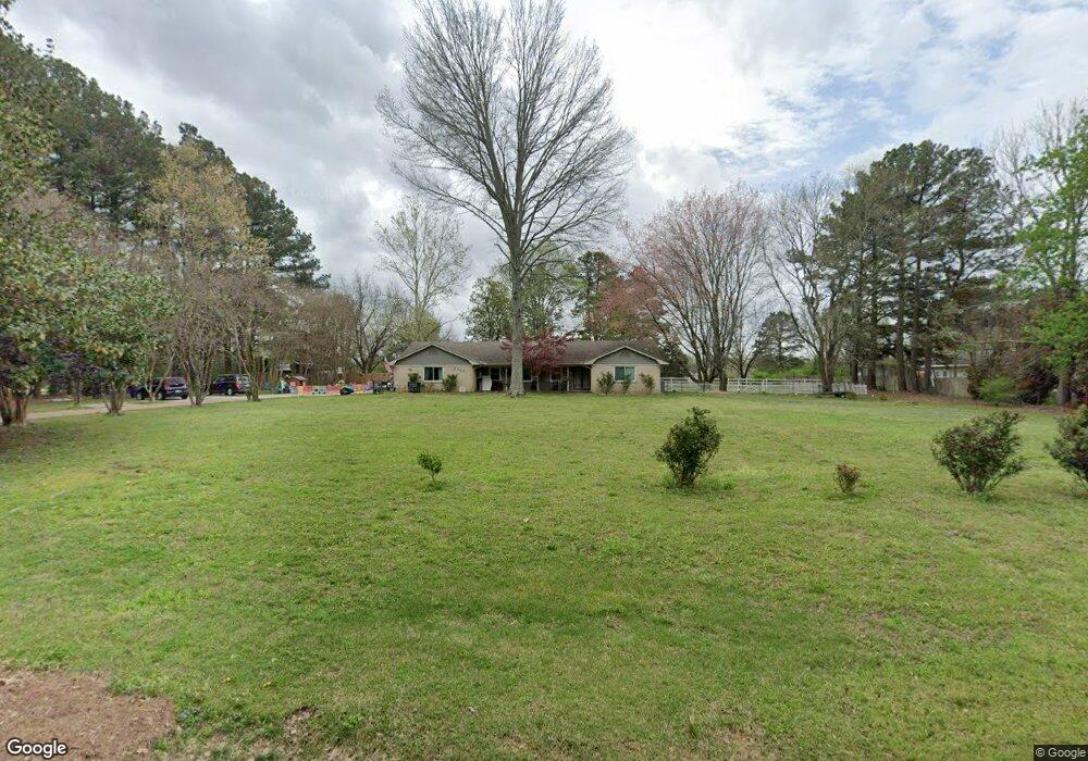
8707 Cedar Crest Ln Olive Branch, MS 38654
Estimated Value: $335,000 - $470,000
3
Beds
2
Baths
3,013
Sq Ft
$124/Sq Ft
Est. Value
About This Home
This home is located at 8707 Cedar Crest Ln, Olive Branch, MS 38654 and is currently estimated at $374,986, approximately $124 per square foot. 8707 Cedar Crest Ln is a home located in DeSoto County with nearby schools including Olive Branch Elementary School, Chickasaw Elementary School, and Olive Branch Middle School.
Ownership History
Date
Name
Owned For
Owner Type
Purchase Details
Closed on
Jun 16, 2022
Sold by
Carlisle Amanda E and Carlisle Harry E
Bought by
Hansel Harry E and Hansel Jenny H
Current Estimated Value
Purchase Details
Closed on
Oct 14, 2016
Sold by
Barlow Steven E and Barlow Anastasia D
Bought by
Hataway William M and Hansel Harry E
Purchase Details
Closed on
Oct 5, 2016
Sold by
Barlow Steven E and Barlow Anastasia D
Bought by
Hataway William M and Hansel Harry E
Create a Home Valuation Report for This Property
The Home Valuation Report is an in-depth analysis detailing your home's value as well as a comparison with similar homes in the area
Home Values in the Area
Average Home Value in this Area
Purchase History
| Date | Buyer | Sale Price | Title Company |
|---|---|---|---|
| Hansel Harry E | -- | None Listed On Document | |
| Hataway William M | -- | Attorney | |
| Hataway William M | -- | Attorney |
Source: Public Records
Tax History
| Year | Tax Paid | Tax Assessment Tax Assessment Total Assessment is a certain percentage of the fair market value that is determined by local assessors to be the total taxable value of land and additions on the property. | Land | Improvement |
|---|---|---|---|---|
| 2025 | $2,501 | $24,193 | $4,500 | $19,693 |
| 2024 | $2,313 | $19,142 | $4,500 | $14,642 |
| 2023 | $2,313 | $18,579 | $0 | $0 |
| 2022 | $1,359 | $17,454 | $4,500 | $12,954 |
| 2021 | $1,359 | $17,454 | $4,500 | $12,954 |
| 2020 | $1,359 | $17,454 | $4,500 | $12,954 |
| 2019 | $1,359 | $17,454 | $4,500 | $12,954 |
| 2017 | $1,206 | $28,074 | $16,287 | $11,787 |
| 2016 | $2,235 | $16,287 | $4,500 | $11,787 |
| 2015 | $2,235 | $28,074 | $16,287 | $11,787 |
| 2014 | $1,935 | $16,287 | $0 | $0 |
| 2013 | $1,869 | $16,287 | $0 | $0 |
Source: Public Records
Map
Nearby Homes
- 8699 Courtly Cir N
- 8830 Courtly Cir S
- 8798 Hunters Horn Cove
- 9002 Lakeside Cove
- 7738 Windersgate Cir
- 8280 Germantown Rd
- 9218 Lakeside Dr
- 9160 Plantation Rd
- 9290 Lakeside Dr
- 6736 Olivia Forest Rd
- 9438 Huron Dr
- 8017 Camptown Ln
- 8040 Hunt Club Cove
- 9194 Rosalie Cove Unit Rosalie Cove
- 8870 Collinswood Dr
- 7068 Millers Glen Way
- 9209 Hickory Dr
- 7885 Hunters Bend Cove
- 7206 State Line Rd
- 9429 Laurel Hill S
- 8661 Cedar Crest Ln
- 111 Cedar Crest Ln
- 8755 Cedar Crest Ln
- 8678 Cedar Crest Ln
- 8740 Cedar Crest Ln
- 8617 Cedar Crest Ln
- 8805 Cedar Crest Ln
- 8640 Courtly Cir N
- 8628 Cedar Crest Ln
- 8863 Hickory Ln
- 8620 Courtly Cir N
- 8793 Courtly Cir N
- 8777 Courtly Cir N
- 8541 Courtly Cir N
- 8780 Courtly Cir N
- 8728 Courtly Cir N
- 8748 Courtly Cir N
- 8650 Courtly Cir N
- 8768 Courtly Cir N
- 8604 Courtly Cir N
Your Personal Tour Guide
Ask me questions while you tour the home.