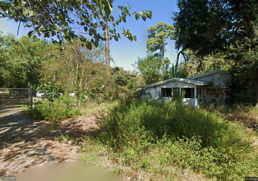
8708 Emmott Rd Houston, TX 77040
Brookhollow West NeighborhoodEstimated Value: $241,034 - $389,000
3
Beds
1
Bath
2,024
Sq Ft
$166/Sq Ft
Est. Value
About This Home
This home is located at 8708 Emmott Rd, Houston, TX 77040 and is currently estimated at $336,759, approximately $166 per square foot. 8708 Emmott Rd is a home located in Harris County with nearby schools including Post Elementary School, Dean Middle School, and Jersey Village High School.
Ownership History
Date
Name
Owned For
Owner Type
Purchase Details
Closed on
Dec 7, 2017
Sold by
Morris Andy and Ham Glen W
Bought by
Morris Andy
Current Estimated Value
Purchase Details
Closed on
Jul 18, 2013
Sold by
Mcintosh Edward W
Bought by
Morris Rankin A
Home Financials for this Owner
Home Financials are based on the most recent Mortgage that was taken out on this home.
Original Mortgage
$108,000
Interest Rate
3.93%
Mortgage Type
New Conventional
Purchase Details
Closed on
Jun 30, 2011
Sold by
Kelly Stephen Everett and Kelly Jennie Suzanne
Bought by
Mcintosh Edward W
Home Financials for this Owner
Home Financials are based on the most recent Mortgage that was taken out on this home.
Original Mortgage
$101,600
Interest Rate
4.65%
Mortgage Type
New Conventional
Create a Home Valuation Report for This Property
The Home Valuation Report is an in-depth analysis detailing your home's value as well as a comparison with similar homes in the area
Home Values in the Area
Average Home Value in this Area
Purchase History
| Date | Buyer | Sale Price | Title Company |
|---|---|---|---|
| Morris Andy | -- | None Available | |
| Morris Rankin A | -- | Stewart Title | |
| Mcintosh Edward W | -- | American Title Company |
Source: Public Records
Mortgage History
| Date | Status | Borrower | Loan Amount |
|---|---|---|---|
| Closed | Morris Rankin A | $108,000 | |
| Previous Owner | Mcintosh Edward W | $101,600 |
Source: Public Records
Tax History Compared to Growth
Tax History
| Year | Tax Paid | Tax Assessment Tax Assessment Total Assessment is a certain percentage of the fair market value that is determined by local assessors to be the total taxable value of land and additions on the property. | Land | Improvement |
|---|---|---|---|---|
| 2025 | $656 | $105,498 | $31,555 | $73,943 |
| 2024 | $656 | $105,498 | $31,555 | $73,943 |
| 2023 | $656 | $101,808 | $31,555 | $70,253 |
| 2022 | $1,879 | $94,499 | $31,555 | $62,944 |
| 2021 | $1,976 | $94,499 | $31,555 | $62,944 |
| 2020 | $2,036 | $94,499 | $31,555 | $62,944 |
| 2019 | $2,113 | $94,499 | $31,555 | $62,944 |
| 2018 | $729 | $94,499 | $31,555 | $62,944 |
| 2017 | $2,113 | $94,499 | $31,555 | $62,944 |
| 2016 | $2,113 | $94,499 | $31,555 | $62,944 |
| 2015 | $1,504 | $94,499 | $31,555 | $62,944 |
| 2014 | $1,504 | $94,499 | $31,555 | $62,944 |
Source: Public Records
Map
Nearby Homes
- 7605 Fairbanks North Houston Rd
- 8817 Emmott Rd
- 8402 Bondale St
- 7410 Wood Bluff Blvd
- 7154 Woodland West Dr
- 7311 Woodoak Dr
- 7802 Percussion Place
- 8715 Andante Dr
- 7714 Rolling Fork Ln
- 9118 Woodwind Lakes Dr
- 9427 Fern Wood Forest
- 8020 Oakwood Forest Dr
- 9114 Brahms Ln
- 9214 Woodland Oaks Dr
- 7823 Redlands Dr
- 8007 E Oakwood Ct
- 8111 Ivan Reid Dr
- 7918 Battleoak Dr
- 6819 Oakwood Grove
- 7911 Battleoak Dr
- 7147 Fairbanks n Houston Rd
- 7147 Houston R
- 7155 Fairbanks n Houston Rd
- 7159 Fairbanks n Houston Rd
- 8706 Emmott Rd
- 8704 Emmott Rd
- 8214 Garrison
- 8522 Emmott Rd
- 8714 Emmott Rd
- 8714 Emmott Rd
- 8710 Emmott Rd
- 8778 Emmott Rd
- TBD Emmott Rd Rd
- 8617 Emmott Rd
- 8776 Emmott Rd
- 7201 Fairbanks North Houston Rd
- 8718 Emmott Rd
- 8718 Emmott Rd
- 8702 Challis Park Ct
- 8726 Emmott Rd