871 Burns Rd Muncy, PA 17756
Mill Creek NeighborhoodEstimated Value: $423,000
3
Beds
2
Baths
2,956
Sq Ft
$143/Sq Ft
Est. Value
About This Home
This home is located at 871 Burns Rd, Muncy, PA 17756 and is currently estimated at $423,000, approximately $143 per square foot. 871 Burns Rd is a home located in Lycoming County with nearby schools including Hughesville Junior/Senior High School.
Ownership History
Date
Name
Owned For
Owner Type
Purchase Details
Closed on
Mar 10, 2025
Sold by
Lewis Jay O and Lewis Lori M
Bought by
Lewis Jay O
Current Estimated Value
Home Financials for this Owner
Home Financials are based on the most recent Mortgage that was taken out on this home.
Original Mortgage
$215,000
Outstanding Balance
$213,351
Interest Rate
6.96%
Mortgage Type
Credit Line Revolving
Estimated Equity
$209,649
Purchase Details
Closed on
May 1, 2024
Sold by
Smith Donald R and Smith Marcia J
Bought by
Smith Donald R and Smith Marcia J
Purchase Details
Closed on
May 18, 2006
Sold by
Smith Donald R and Smith Marcia J
Bought by
Smith Donald R and Smith Marcia J
Create a Home Valuation Report for This Property
The Home Valuation Report is an in-depth analysis detailing your home's value as well as a comparison with similar homes in the area
Home Values in the Area
Average Home Value in this Area
Purchase History
| Date | Buyer | Sale Price | Title Company |
|---|---|---|---|
| Lewis Jay O | -- | None Listed On Document | |
| Lewis Jay O | -- | None Listed On Document | |
| Smith Donald R | -- | None Listed On Document | |
| Smith Donald R | -- | None Available |
Source: Public Records
Mortgage History
| Date | Status | Borrower | Loan Amount |
|---|---|---|---|
| Open | Lewis Jay O | $215,000 | |
| Closed | Lewis Jay O | $215,000 |
Source: Public Records
Tax History Compared to Growth
Tax History
| Year | Tax Paid | Tax Assessment Tax Assessment Total Assessment is a certain percentage of the fair market value that is determined by local assessors to be the total taxable value of land and additions on the property. | Land | Improvement |
|---|---|---|---|---|
| 2025 | $4,919 | $204,120 | $41,950 | $162,170 |
| 2024 | $4,870 | $204,120 | $41,950 | $162,170 |
| 2023 | $4,717 | $204,120 | $41,950 | $162,170 |
| 2022 | $3,682 | $164,290 | $41,950 | $122,340 |
| 2021 | $3,586 | $164,290 | $41,950 | $122,340 |
| 2020 | $3,586 | $164,290 | $41,950 | $122,340 |
| 2019 | $3,514 | $164,290 | $41,950 | $122,340 |
| 2018 | $3,442 | $164,290 | $41,950 | $122,340 |
| 2017 | $3,246 | $164,290 | $41,950 | $122,340 |
| 2016 | $3,133 | $164,290 | $41,950 | $122,340 |
| 2015 | $3,133 | $164,290 | $41,950 | $122,340 |
Source: Public Records
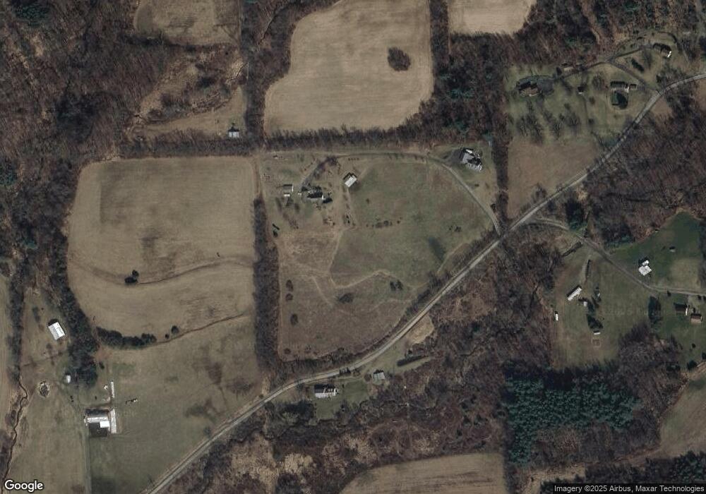
Map
Nearby Homes
- 480 Dutchtown Rd
- 2382 Woodley Hollow Rd
- 0 Kehrer Hill Rd
- 229 Irion Dr
- 12737 Pennsylvania 87
- 252 Center St
- 153 Water St
- 133 S Main St
- 1462 Highland Lake Rd
- 961 Baker Hill Rd
- 9557 U S 220
- 320 Carpenters Ln
- 10784 Pennsylvania 87
- 51 Chel Dr
- 557 Foust Hill Rd
- 98 Bush Hollow Rd
- 715 Village Rd
- PARC. 199.27 Pond Rd Unit 27
- PARC. 199.G Pond Rd Unit 26
- PARC. 199.G Pond Rd Unit 24
- 875 Burns Rd
- 1055 Burns Rd
- 956 Upper Rynearson Rd
- 1059 Burns Rd
- 915 Upper Rynearson Rd
- 469 Burns Rd
- 854 Upper Rynearson Rd
- 1129 Burns Rd
- 1087 Burns Rd
- 336 Burns Rd
- 295 Firetower Rd
- 1232 Burns Rd
- 234 Burns Rd
- 140 Biddle Rd
- 412 Firetower Rd
- 46 Biddle Rd
- 329 Biddle Rd
- 67 Burns Rd
- 529 Upper Rynearson Rd
- 890 Firetower Rd