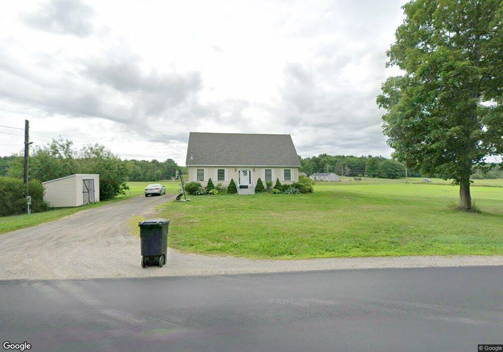
871 Garland Rd Winslow, ME 04901
Estimated Value: $346,000 - $373,397
3
Beds
2
Baths
2,156
Sq Ft
$168/Sq Ft
Est. Value
About This Home
This home is located at 871 Garland Rd, Winslow, ME 04901 and is currently estimated at $363,132, approximately $168 per square foot. 871 Garland Rd is a home located in Kennebec County with nearby schools including Winslow Elementary School, Winslow Junior High School, and Winslow High School.
Ownership History
Date
Name
Owned For
Owner Type
Purchase Details
Closed on
Jun 25, 2021
Sold by
Stone Sarah B
Bought by
Cothran Michael R and Stone Sarah B
Current Estimated Value
Home Financials for this Owner
Home Financials are based on the most recent Mortgage that was taken out on this home.
Original Mortgage
$101,500
Outstanding Balance
$92,096
Interest Rate
2.9%
Mortgage Type
Purchase Money Mortgage
Estimated Equity
$271,036
Purchase Details
Closed on
May 15, 2008
Sold by
Higgins David M and Higgins Stephanie B
Bought by
Stone Isaac and Stone Sarah B
Create a Home Valuation Report for This Property
The Home Valuation Report is an in-depth analysis detailing your home's value as well as a comparison with similar homes in the area
Home Values in the Area
Average Home Value in this Area
Purchase History
| Date | Buyer | Sale Price | Title Company |
|---|---|---|---|
| Cothran Michael R | -- | None Available | |
| Stone Isaac | -- | -- |
Source: Public Records
Mortgage History
| Date | Status | Borrower | Loan Amount |
|---|---|---|---|
| Open | Cothran Michael R | $101,500 |
Source: Public Records
Tax History Compared to Growth
Tax History
| Year | Tax Paid | Tax Assessment Tax Assessment Total Assessment is a certain percentage of the fair market value that is determined by local assessors to be the total taxable value of land and additions on the property. | Land | Improvement |
|---|---|---|---|---|
| 2024 | $4,218 | $281,200 | $42,500 | $238,700 |
| 2023 | $4,218 | $281,200 | $42,500 | $238,700 |
| 2022 | $3,466 | $187,800 | $29,200 | $158,600 |
| 2021 | $3,794 | $187,800 | $29,200 | $158,600 |
| 2020 | $3,534 | $187,800 | $29,200 | $158,600 |
| 2019 | $3,128 | $187,800 | $29,200 | $158,600 |
| 2018 | $3,010 | $187,800 | $29,200 | $158,600 |
| 2017 | $3,144 | $187,800 | $29,200 | $158,600 |
| 2016 | $2,956 | $187,800 | $29,200 | $158,600 |
| 2015 | $2,947 | $190,100 | $31,500 | $158,600 |
| 2014 | $2,947 | $190,100 | $31,500 | $158,600 |
Source: Public Records
Map
Nearby Homes
- 501 Clinton Ave
- 987 Clinton Ave
- 0 Olde Heritage Map 10 Lot 77-3 Place Unit 1628289
- 854 Abbott Rd
- Lot 4 Peachtree Ln
- 486 Garland Rd
- 17 Hapworth Ln
- 2 and 3 Blue Heron Ln
- 237 Neck Rd
- 199 Neck Rd
- 670 Benton Ave
- 436 N Pond Rd
- 21 Meadow View Ln
- 3 Bunker Ave
- 158 Clinton Ave
- 6 Pleasant St
- 2 King St
- 14 Fuller Dr
- 144 Clinton Ave
- 4 Marcoux St