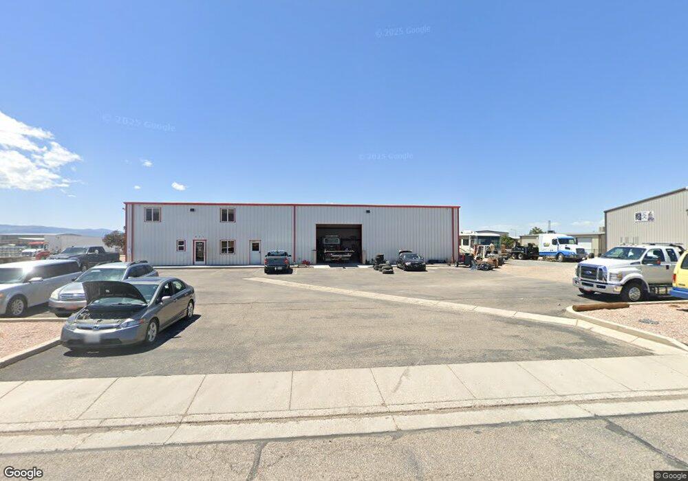
871 N 2225 West Cir Unit CIRCLE Cedar City, UT 84721
--
Bed
--
Bath
--
Sq Ft
0.51
Acres
About This Home
This home is located at 871 N 2225 West Cir Unit CIRCLE, Cedar City, UT 84721. 871 N 2225 West Cir Unit CIRCLE is a home located in Iron County with nearby schools including Iron Springs School, Cedar Middle School, and Cedar City High School.
Ownership History
Date
Name
Owned For
Owner Type
Purchase Details
Closed on
May 29, 2012
Sold by
Zions First National Bank
Bought by
Miller James Robert and Miller Leann Louise
Purchase Details
Closed on
Jun 5, 2006
Sold by
Big D Specialties Llc
Bought by
Delange Kyle and Delange Gina A
Home Financials for this Owner
Home Financials are based on the most recent Mortgage that was taken out on this home.
Original Mortgage
$291,800
Interest Rate
6.52%
Mortgage Type
Commercial
Purchase Details
Closed on
Dec 20, 2005
Sold by
Carter Garth K and Carter Sharyl L
Bought by
Big-D Specialties Llc
Home Financials for this Owner
Home Financials are based on the most recent Mortgage that was taken out on this home.
Original Mortgage
$48,700
Interest Rate
6.31%
Mortgage Type
Commercial
Purchase Details
Closed on
Jan 18, 2005
Sold by
Gower Connel
Bought by
Carter Garth K and Carter Sharyl L
Create a Home Valuation Report for This Property
The Home Valuation Report is an in-depth analysis detailing your home's value as well as a comparison with similar homes in the area
Home Values in the Area
Average Home Value in this Area
Purchase History
| Date | Buyer | Sale Price | Title Company |
|---|---|---|---|
| Miller James Robert | -- | Southern Utah Title Of Cedar | |
| Delange Kyle | -- | -- | |
| Big-D Specialties Llc | -- | -- | |
| Carter Garth K | -- | So Utah Title Co |
Source: Public Records
Mortgage History
| Date | Status | Borrower | Loan Amount |
|---|---|---|---|
| Previous Owner | Delange Kyle | $291,800 | |
| Previous Owner | Big-D Specialties Llc | $48,700 |
Source: Public Records
Tax History Compared to Growth
Tax History
| Year | Tax Paid | Tax Assessment Tax Assessment Total Assessment is a certain percentage of the fair market value that is determined by local assessors to be the total taxable value of land and additions on the property. | Land | Improvement |
|---|---|---|---|---|
| 2025 | $3,948 | $507,603 | $199,940 | $307,663 |
| 2023 | $3,267 | $405,405 | $97,745 | $307,660 |
| 2022 | $3,388 | $368,550 | $88,860 | $279,690 |
| 2021 | $2,878 | $313,050 | $79,975 | $233,075 |
| 2020 | $2,931 | $282,650 | $79,975 | $202,675 |
| 2019 | $2,795 | $257,860 | $61,090 | $196,770 |
| 2018 | $2,827 | $252,305 | $55,535 | $196,770 |
| 2017 | $2,871 | $252,305 | $55,535 | $196,770 |
| 2016 | $2,865 | $234,420 | $55,535 | $178,885 |
| 2015 | $3,021 | $234,420 | $0 | $0 |
| 2014 | $2,205 | $160,000 | $0 | $0 |
Source: Public Records
Map
Nearby Homes
- 799 N 2325 W
- 4482 W 250 N
- 4591 W 250 N
- 2502 W 850 N
- 495 N 2150 W
- 147.9141 Acre Ft Water Right 73-1201
- 960 N 1400 W
- 147.9141 Ac Feet Water 73-1201
- 338 Pachea Cir
- 1 Acre Fort
- 4283 W Highway 56 Unit 7
- 335 N Harbor Cir
- 0.69 Acre Lot W Skyview Dr
- 208 N Guidelight Dr
- 6333 N 1600 W
- 1.75 Acres 200 North Corner Lot Unit Zoned Commercial
- 374 N 1500 W
- 364 N 1500 W
- 325 N 1500 W
- 171 N Beacon Hill Dr
- 871 N 2225 West Cir
- 871 N 2225 W
- Lot 3 Coal Creek Sub
- Lot 3 Coal Creek Sub Unit 3
- 898 N 2225 W
- 897 N 2225 W
- Lot 2 Coal Creek Rd
- 897 N 2225 West Cir
- 898 N 2225 West Cir
- 895 N 2175 W
- 2300 W 850 N
- 911 N 2175 W Unit 911
- N W 850 N
- 850 W 850 N
- 834 2375 Cir W Unit (Fenwick Way)
- 834 2375 Cir W
- 834 N 2325 W
- Lot 7 W 850 N
- 2318 W 850 N Unit 4
- 2234 W Industry Way