871 Pamela Kay Ln Weatherford, TX 76088
Estimated Value: $354,000 - $1,204,291
3
Beds
3
Baths
2,774
Sq Ft
$281/Sq Ft
Est. Value
About This Home
This home is located at 871 Pamela Kay Ln, Weatherford, TX 76088 and is currently estimated at $779,146, approximately $280 per square foot. 871 Pamela Kay Ln is a home located in Parker County with nearby schools including Garner Elementary School.
Ownership History
Date
Name
Owned For
Owner Type
Purchase Details
Closed on
Mar 4, 2013
Sold by
A & A Systems Llc
Bought by
Lance Bobbie J
Current Estimated Value
Purchase Details
Closed on
Feb 18, 2013
Sold by
Tiger Lily Farms Llc
Bought by
Innerarity Rebecca A
Purchase Details
Closed on
Nov 14, 1997
Sold by
Lance Kenneth E
Bought by
Innerarity Rebecca A
Purchase Details
Closed on
Jan 1, 1901
Bought by
Innerarity Rebecca A
Create a Home Valuation Report for This Property
The Home Valuation Report is an in-depth analysis detailing your home's value as well as a comparison with similar homes in the area
Home Values in the Area
Average Home Value in this Area
Purchase History
| Date | Buyer | Sale Price | Title Company |
|---|---|---|---|
| Lance Bobbie J | -- | None Available | |
| Innerarity Rebecca A | -- | None Available | |
| Innerarity Rebecca A | -- | -- | |
| Innerarity Rebecca A | -- | -- |
Source: Public Records
Tax History Compared to Growth
Tax History
| Year | Tax Paid | Tax Assessment Tax Assessment Total Assessment is a certain percentage of the fair market value that is determined by local assessors to be the total taxable value of land and additions on the property. | Land | Improvement |
|---|---|---|---|---|
| 2025 | $3 | $250 | $250 | -- |
| 2024 | $3 | $230 | $230 | -- |
| 2023 | $3 | $240 | $240 | $0 |
| 2022 | $4 | $18,220 | $0 | $0 |
| 2021 | $4 | $18,220 | $0 | $0 |
| 2020 | $4 | $18,090 | $0 | $0 |
| 2019 | $4 | $18,090 | $0 | $0 |
| 2018 | $3,359 | $185,720 | $9,830 | $175,890 |
| 2017 | $3,099 | $185,720 | $9,830 | $175,890 |
| 2016 | $2,817 | $148,340 | $8,850 | $139,490 |
| 2015 | $2,489 | $148,340 | $8,850 | $139,490 |
| 2014 | $2,827 | $160,060 | $10,380 | $149,680 |
Source: Public Records
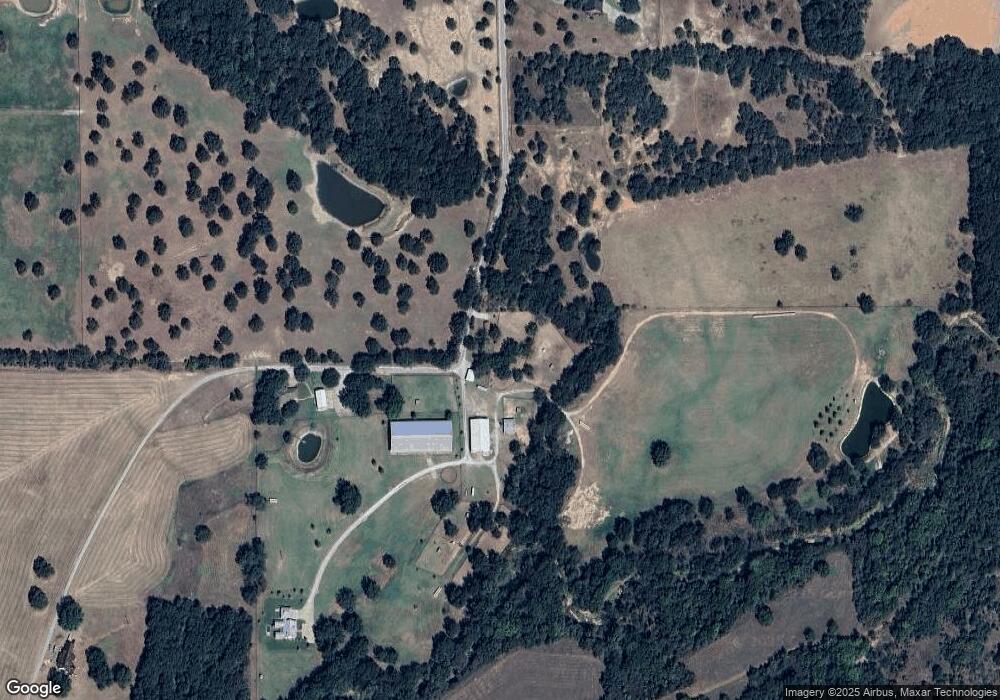
Map
Nearby Homes
- 201 Threatt Ln
- 0 Tbd Old Authon Rd
- 6915 Fm 1885
- 225 Jefferson Way
- 308 Rickys Rd
- 309 Rickys Rd
- 312 Rickys Rd
- 209 Jefferson Way
- 6500 Fm Rd Unit 1885
- 108 Stafford Trail
- 101 Norene Ln
- 201 Jefferson Way
- 105 Norene Ln
- 000o Howard Rd
- 5686 New Authon Rd
- 2011 Feather Ln
- 1240 Smith Trail
- 1012 Freedom Ct
- 2028 Feather Ln
- 2027 Feather Ln
- 881 Pamela Kay Ln
- 889 Pamela Kay Ln
- 601 Pamela Kay Ln
- 903 Pamela Kay Ln
- 7601 New Authon Rd
- 7693 New Authon Rd
- 4680 N Fm 113
- 7500 New Authon Rd
- 7297 New Authon Rd
- 393 Garner- Adell Rd
- TBD Lot 2 Garner- Adell Rd
- TBD Lot 3 Garner- Adell Rd
- 5000 Garner- Adell Rd
- Lot 9 Ryker Ridge Garner- Adell Rd
- Lot 10 Ryker Ridge Garner- Adell Rd
- Lot 10 Garner- Adell Rd
- Lot 10 TBD Garner- Adell Rd
- TBD Garner- Adell Rd
- 7801 New Authon Rd