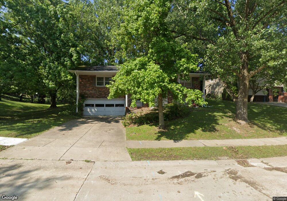
871 Roanoke Dr Springfield, IL 62702
Estimated Value: $217,000 - $254,000
About This Home
This home is located at 871 Roanoke Dr, Springfield, IL 62702 and is currently estimated at $237,306, approximately $115 per square foot. 871 Roanoke Dr is a home located in Sangamon County with nearby schools including Dubois Elementary School, U.S. Grant Middle School, and Springfield High School.
Ownership History
We collect this data history from publicly available records. To have your information removed, we recommend requesting removal directly through your county’s website.
Purchase Details
Purchase Details
Purchase Details
Purchase Details
Purchase Details
Purchase Details
Purchase History
We collect this data history from publicly available records. To have your information removed, we recommend requesting removal directly through your county’s website.
| Date | Buyer | Sale Price | Title Company |
|---|---|---|---|
| $154,000 | -- | ||
| $85,500 | -- | ||
| $99,300 | -- | ||
| -- | -- | ||
| $120,000 | -- | ||
| $118,000 | -- |
Tax History
We collect this data history from publicly available records. To have your information removed, we recommend requesting removal directly through your county’s website.
| Year | Tax Paid | Tax Assessment Tax Assessment Total Assessment is a certain percentage of the fair market value that is determined by local assessors to be the total taxable value of land and additions on the property. | Land | Improvement |
|---|---|---|---|---|
| 2025 | $5,155 | $69,665 | $9,286 | $60,379 |
| 2024 | $4,954 | $64,974 | $8,661 | $56,313 |
| 2023 | $4,717 | $59,348 | $7,911 | $51,437 |
| 2022 | $4,473 | $55,912 | $7,504 | $48,408 |
| 2021 | $4,304 | $53,818 | $7,223 | $46,595 |
| 2020 | $4,219 | $53,899 | $7,234 | $46,665 |
| 2019 | $4,139 | $53,711 | $7,209 | $46,502 |
| 2018 | $3,899 | $52,148 | $7,174 | $44,974 |
| 2017 | $3,812 | $51,473 | $7,081 | $44,392 |
| 2016 | $3,730 | $50,723 | $6,978 | $43,745 |
| 2015 | $3,688 | $50,117 | $6,895 | $43,222 |
| 2014 | $3,460 | $49,793 | $6,850 | $42,943 |
| 2013 | $3,383 | $47,749 | $6,850 | $40,899 |
Map
- 890 Roanoke Dr
- 2716 Meadow Pointe Dr
- 2620 Cedar Pond Dr
- 2510 & 2518 W Jefferson St
- 60 N Oxford Rd
- 12 N Oxford Rd
- 804 Fairfax Ct
- 2011 W Jefferson St
- 143 Springbrook Dr
- 10 Royal Rd
- 2102 W Jefferson St
- 29 Hollybrook Dr
- 1913 Jeanette Ln Unit 8
- 2605 Cardifs Ave
- 1038 N Koke Mill Rd
- 160 S Durkin Dr Unit 3
- 24 Redwood Ln Unit 98
- 1910 Jeanette Ln Unit 3
- 45 Royal Rd
- 205 Cranmer Dr
- 877 Roanoke Dr
- 865 Roanoke Dr
- 878 Roanoke Dr
- 884 Roanoke Dr
- 848 N Oxford Rd
- 883 Roanoke Dr
- 872 Roanoke Dr
- 857 Roanoke Dr
- 868 Roanoke Dr
- 896 Roanoke Dr
- 844 N Oxford Rd
- 862 Roanoke Dr
- 849 Roanoke Dr
- 840 N Oxford Rd
- 858 Roanoke Dr
- 845 N Oxford Rd
- 849 N Oxford Rd
- 845 Roanoke Dr
- 901 Roanoke Dr
- 906 Roanoke Dr
Ask me questions while you tour the home.