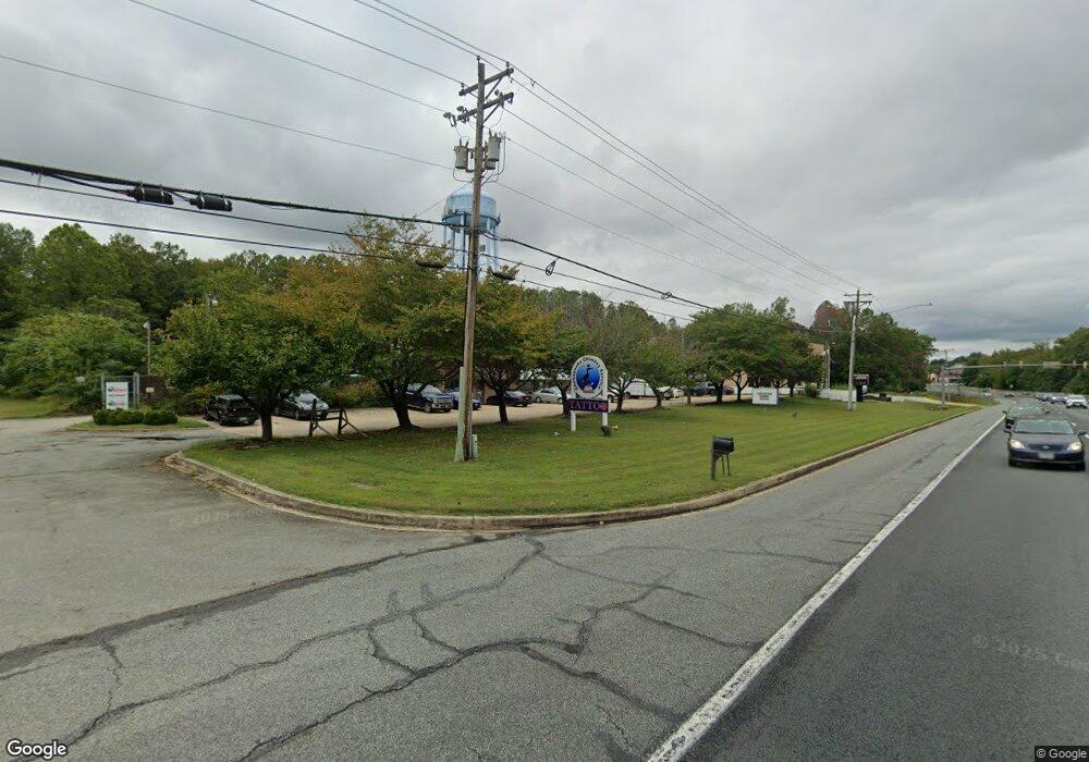
871 Solomons Island Rd S Unit 865 Prince Frederick, MD 20678
Estimated Value: $1,440,975
--
Bed
--
Bath
6,800
Sq Ft
$212/Sq Ft
Est. Value
About This Home
This home is located at 871 Solomons Island Rd S Unit 865, Prince Frederick, MD 20678 and is currently estimated at $1,440,975, approximately $211 per square foot. 871 Solomons Island Rd S Unit 865 is a home located in Calvert County with nearby schools including Barstow Elementary School, Calvert Middle School, and Calvert High School.
Ownership History
Date
Name
Owned For
Owner Type
Purchase Details
Closed on
Sep 29, 2016
Sold by
J H Gribble Sons Inc
Bought by
871 Solomons Llc
Current Estimated Value
Home Financials for this Owner
Home Financials are based on the most recent Mortgage that was taken out on this home.
Original Mortgage
$71,200
Interest Rate
3.42%
Mortgage Type
Commercial
Create a Home Valuation Report for This Property
The Home Valuation Report is an in-depth analysis detailing your home's value as well as a comparison with similar homes in the area
Home Values in the Area
Average Home Value in this Area
Purchase History
| Date | Buyer | Sale Price | Title Company |
|---|---|---|---|
| 871 Solomons Llc | $890,000 | Residential Title & Escrow C |
Source: Public Records
Mortgage History
| Date | Status | Borrower | Loan Amount |
|---|---|---|---|
| Previous Owner | 871 Solomons Llc | $71,200 |
Source: Public Records
Tax History Compared to Growth
Tax History
| Year | Tax Paid | Tax Assessment Tax Assessment Total Assessment is a certain percentage of the fair market value that is determined by local assessors to be the total taxable value of land and additions on the property. | Land | Improvement |
|---|---|---|---|---|
| 2025 | $10,250 | $888,200 | $0 | $0 |
| 2024 | $10,163 | $881,600 | $306,600 | $575,000 |
| 2023 | $9,799 | $881,300 | $0 | $0 |
| 2022 | $9,787 | $881,000 | $0 | $0 |
| 2021 | $9,588 | $880,700 | $306,600 | $574,100 |
| 2020 | $9,588 | $859,467 | $0 | $0 |
| 2019 | $9,399 | $838,233 | $0 | $0 |
| 2018 | $9,137 | $817,000 | $306,600 | $510,400 |
| 2017 | $9,157 | $808,200 | $0 | $0 |
| 2016 | -- | $799,400 | $0 | $0 |
| 2015 | $8,544 | $790,600 | $0 | $0 |
| 2014 | $8,544 | $790,600 | $0 | $0 |
Source: Public Records
Map
Nearby Homes
- 667 Hawk Hill Dr
- 103 Westlake Blvd
- 447 Dark Star Way
- 360 Whirlaway Dr
- 365 Equestrian Way
- 125 Polo Way
- 49 Thoroughbred Dr
- 240 Mason Rd
- 85 Mason Rd
- 380 Mason Rd
- 579 English Oak Ln
- 0 Armory Rd
- 592 Burr Oak Ct
- The Benedict A Plan at Patuxent Commons
- The Benedict B2 Plan at Patuxent Commons
- The Benedict C Plan at Patuxent Commons
- 185 Radio Dr
- 86 Potomac Ct
- 84 Potomac Ct
- 82 Potomac Ct
- 871 Solomons Island Rd S
- 861 Solomons Island Rd S
- 755 Solomons Island Rd S
- 70 Wilson Ct
- 850 Solomons Island Rd N
- 850 Solomons Island Rd S
- 60 Wilson Ct
- 55 Wilson Ct
- 881 Solomons Island Rd S
- 45 Wilson Ct
- 815 Main St
- 805 Main St
- 710 Solomons Island Rd S
- 731 Blackbird Ln
- 102 Westlake Blvd
- 795 Main St
- 865 Main St
- 885 Solomons Island Rd S
- 785 Main St
- 725 Blackbird Ln