Estimated Value: $263,000 - $270,000
3
Beds
1
Bath
1,677
Sq Ft
$160/Sq Ft
Est. Value
About This Home
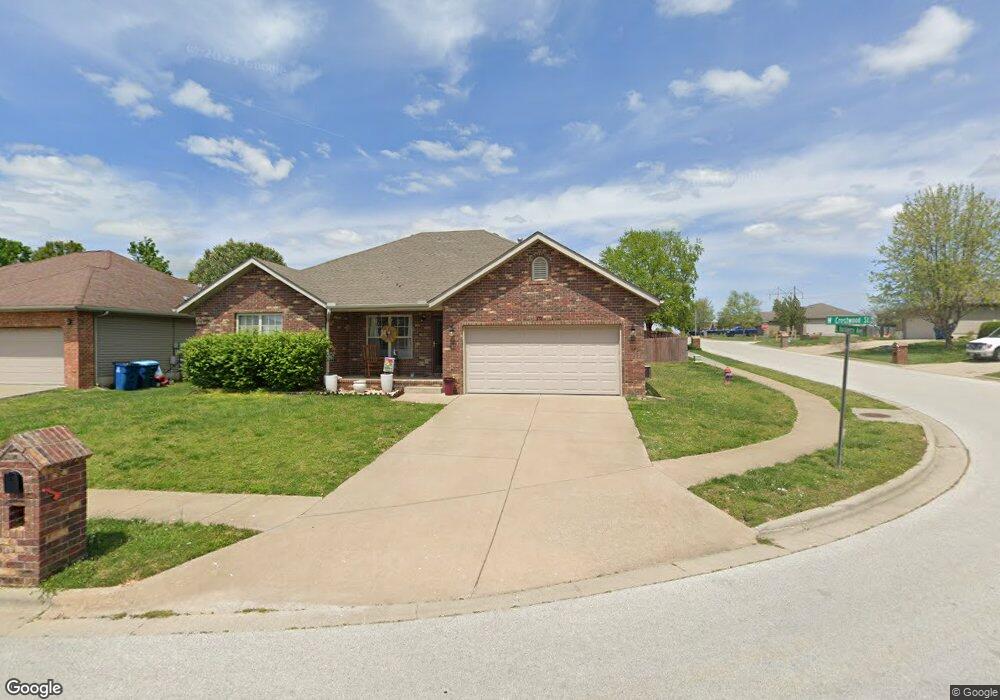
This home is located at 871 W Crestwood St, Nixa, MO 65714 and is currently estimated at $267,612, approximately $159 per square foot. 871 W Crestwood St is a home with nearby schools including Mathews Elementary School, Queens Gateway to Health Sciences Secondary School, and Nixa Junior High School.
Ownership History
Date
Name
Owned For
Owner Type
Purchase Details
Closed on
Sep 1, 2005
Sold by
Baker Homes Inc
Bought by
Smith Jeffery and Smith Rebecca
Current Estimated Value
Purchase Details
Closed on
Mar 16, 2005
Sold by
Jacks Place Llc
Bought by
Baker Homes Inc
Home Financials for this Owner
Home Financials are based on the most recent Mortgage that was taken out on this home.
Original Mortgage
$102,000
Interest Rate
5.71%
Mortgage Type
Construction
Create a Home Valuation Report for This Property
The Home Valuation Report is an in-depth analysis detailing your home's value as well as a comparison with similar homes in the area
Home Values in the Area
Average Home Value in this Area
Purchase History
| Date | Buyer | Sale Price | Title Company |
|---|---|---|---|
| Smith Jeffery | -- | None Available | |
| Baker Homes Inc | -- | None Available |
Source: Public Records
Mortgage History
| Date | Status | Borrower | Loan Amount |
|---|---|---|---|
| Previous Owner | Baker Homes Inc | $102,000 |
Source: Public Records
Tax History Compared to Growth
Tax History
| Year | Tax Paid | Tax Assessment Tax Assessment Total Assessment is a certain percentage of the fair market value that is determined by local assessors to be the total taxable value of land and additions on the property. | Land | Improvement |
|---|---|---|---|---|
| 2024 | $1,679 | $26,940 | -- | -- |
| 2023 | $1,679 | $26,940 | $0 | $0 |
| 2022 | $1,622 | $25,990 | $0 | $0 |
| 2021 | $1,623 | $25,990 | $0 | $0 |
| 2020 | $1,458 | $22,290 | $0 | $0 |
| 2019 | $1,458 | $22,290 | $0 | $0 |
| 2018 | $1,358 | $22,290 | $0 | $0 |
| 2017 | $1,358 | $22,290 | $0 | $0 |
| 2016 | $1,337 | $22,290 | $0 | $0 |
| 2015 | $1,339 | $22,290 | $22,290 | $0 |
| 2014 | $1,303 | $22,230 | $0 | $0 |
| 2013 | $14 | $22,230 | $0 | $0 |
| 2011 | $14 | $46,940 | $0 | $0 |
Source: Public Records
Map
Nearby Homes
- 886 W Paddington Dr
- 931 W Butterfield Dr
- 955 S Silverwood Ln
- 915 S Silverwood Ln
- 911 S Silverwood Ln
- 919 S Silverwood Ln
- 965 S Silverwood Ln
- 959 S Silverwood Ln
- 951 S Silverwood Ln
- 609 W Arbor Glenn Dr
- 621 W Arbor Glenn Dr
- 662 W Castor Loop
- 689 W Castor Loop
- Tract 3c S Gregg Rd
- 656 W Castor Loop
- 643 W Brook Hollow Rd
- 653 W Brook Hollow Rd
- 000 Croley Blvd Unit Lots 12,13, 14
- 138 W Silver Oak St
- 701 S Cedarwood Ct
- 873 W Crestwood St
- 870 W Pembrook Ave
- 872 W Pembrook Ave
- 875 W Crestwood St
- 796 S Hackberry Ave
- 870 W Crestwood St
- 872 W Crestwood St
- 794 S Hackberry Ave
- 798 S Hackberry Ave
- 874 W Pembrook Ave
- 792 S Hackberry Ave
- 792 Hackberry Ave
- 877 W Crestwood St
- 874 W Crestwood St
- 876 W Pembrook Ave
- 731 W Butterfield Dr
- 721 Butterfield Dr
- 741 Butterfield Dr
- 711 W Butterfield Dr
- 701 Butterfield Dr