8711 Date Rd Bridgman, MI 49106
Estimated Value: $505,000 - $560,000
3
Beds
3
Baths
2,400
Sq Ft
$223/Sq Ft
Est. Value
About This Home
This home is located at 8711 Date Rd, Bridgman, MI 49106 and is currently estimated at $534,518, approximately $222 per square foot. 8711 Date Rd is a home located in Berrien County with nearby schools including Lakeshore High School and Immanuel Lutheran School.
Ownership History
Date
Name
Owned For
Owner Type
Purchase Details
Closed on
Nov 22, 2016
Sold by
Jones Michael S and Jones Shannon L
Bought by
Jones Michael S and Jones Shannon L
Current Estimated Value
Purchase Details
Closed on
Jan 5, 2009
Sold by
Kernosky Stephen L and Kernosky Jennifer L
Bought by
Jones Michael S and Jones Shannon L
Home Financials for this Owner
Home Financials are based on the most recent Mortgage that was taken out on this home.
Original Mortgage
$198,000
Outstanding Balance
$97,531
Interest Rate
5.53%
Mortgage Type
VA
Estimated Equity
$436,987
Purchase Details
Closed on
Aug 26, 2005
Sold by
Petersen Robert W and Petersen Robert William
Bought by
Kernosky Stephen L and Kernosky Jennifer L
Home Financials for this Owner
Home Financials are based on the most recent Mortgage that was taken out on this home.
Original Mortgage
$193,760
Interest Rate
6.01%
Mortgage Type
Fannie Mae Freddie Mac
Create a Home Valuation Report for This Property
The Home Valuation Report is an in-depth analysis detailing your home's value as well as a comparison with similar homes in the area
Purchase History
| Date | Buyer | Sale Price | Title Company |
|---|---|---|---|
| Jones Michael S | -- | Attorney | |
| Jones Michael S | $220,000 | Stewart Title Guaranty Co | |
| Kernosky Stephen L | $45,000 | -- |
Source: Public Records
Mortgage History
| Date | Status | Borrower | Loan Amount |
|---|---|---|---|
| Open | Jones Michael S | $198,000 | |
| Previous Owner | Kernosky Stephen L | $193,760 |
Source: Public Records
Tax History
| Year | Tax Paid | Tax Assessment Tax Assessment Total Assessment is a certain percentage of the fair market value that is determined by local assessors to be the total taxable value of land and additions on the property. | Land | Improvement |
|---|---|---|---|---|
| 2025 | $3,154 | $269,400 | $0 | $0 |
| 2024 | $2,276 | $260,300 | $0 | $0 |
| 2023 | $2,942 | $206,100 | $0 | $0 |
| 2021 | $2,733 | $170,000 | $19,600 | $150,400 |
| 2020 | $2,707 | $169,100 | $0 | $0 |
| 2019 | $2,668 | $129,500 | $17,500 | $112,000 |
| 2018 | $2,588 | $129,500 | $0 | $0 |
| 2017 | $2,691 | $127,100 | $0 | $0 |
| 2016 | $2,626 | $135,000 | $0 | $0 |
| 2015 | $2,602 | $151,400 | $0 | $0 |
| 2014 | $1,896 | $157,400 | $0 | $0 |
Source: Public Records
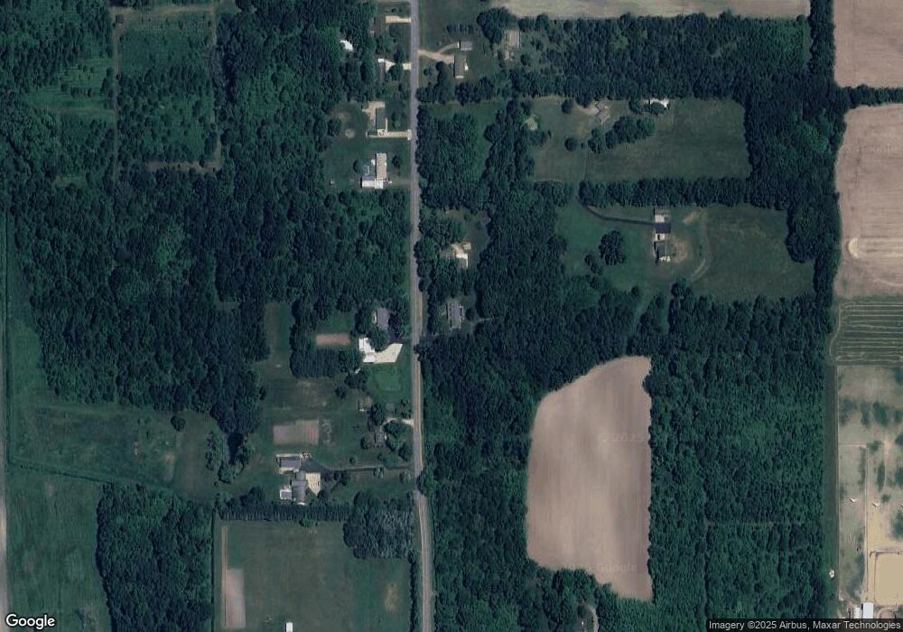
Map
Nearby Homes
- 0 0a Linke Rd Rd
- 0 Cleveland Ave
- 4173 Maplewood Rd
- 3728 Lake St
- 9847 Quail Run Ct
- 3926 Papalardo St
- 5797 Wildwood Dr
- 10157 Jericho Rd
- 9048 2nd St
- 7400 Lake Solis Dr
- 7426 Lake Solis Dr
- V/L W Lemon Creek Rd Unit 2
- V/L W Lemon Creek Rd Unit 3
- V/L W Lemon Creek Rd Unit 1
- V/L W Lemon Creek Rd Unit 4
- 1134 Sonoma Ct
- 10299 Gast Rd
- 2233 Anderson Cir
- 2651 Jefferson Dr
- 3990 Sugarsand Ln
Your Personal Tour Guide
Ask me questions while you tour the home.