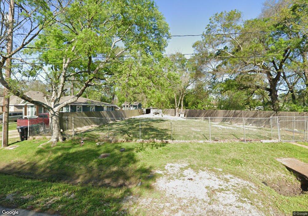
8711 Lanewood Dr Houston, TX 77016
Trinity-Houston Gardens NeighborhoodEstimated Value: $230,000 - $323,235
3
Beds
3
Baths
2,397
Sq Ft
$110/Sq Ft
Est. Value
About This Home
This home is located at 8711 Lanewood Dr, Houston, TX 77016 and is currently estimated at $262,559, approximately $109 per square foot. 8711 Lanewood Dr is a home located in Harris County with nearby schools including Felix Cook Jr. Elementary School, Key Middle, and Kashmere High School.
Ownership History
Date
Name
Owned For
Owner Type
Purchase Details
Closed on
Nov 23, 2020
Sold by
Deleon Guadalupe
Bought by
Esquivel Victor David
Current Estimated Value
Purchase Details
Closed on
Mar 13, 2015
Sold by
Jackson Jacqueline Haynes
Bought by
Deleon Guadalupe
Purchase Details
Closed on
Jun 4, 2013
Sold by
Massie Louise
Bought by
Jackson Jacqueline Haynes
Purchase Details
Closed on
Jan 31, 2012
Sold by
Massie Louise and Johnson Annette
Bought by
County Of Harris and City Of Houston
Purchase Details
Closed on
Jan 26, 1997
Sold by
Johnson Shelly R
Bought by
Massie Vernel
Create a Home Valuation Report for This Property
The Home Valuation Report is an in-depth analysis detailing your home's value as well as a comparison with similar homes in the area
Home Values in the Area
Average Home Value in this Area
Purchase History
| Date | Buyer | Sale Price | Title Company |
|---|---|---|---|
| Esquivel Victor David | $10,000 | None Available | |
| Deleon Guadalupe | -- | None Available | |
| Jackson Jacqueline Haynes | $3,303 | None Available | |
| County Of Harris | -- | None Available | |
| Massie Vernel | $7,500 | -- |
Source: Public Records
Tax History Compared to Growth
Tax History
| Year | Tax Paid | Tax Assessment Tax Assessment Total Assessment is a certain percentage of the fair market value that is determined by local assessors to be the total taxable value of land and additions on the property. | Land | Improvement |
|---|---|---|---|---|
| 2025 | $3,004 | $242,782 | $51,275 | $191,507 |
| 2024 | $3,004 | $143,566 | $48,345 | $95,221 |
| 2023 | $886 | $43,950 | $43,950 | $0 |
| 2022 | $806 | $36,625 | $36,625 | $0 |
| 2021 | $427 | $18,313 | $18,313 | $0 |
| 2020 | $443 | $18,313 | $18,313 | $0 |
| 2019 | $463 | $18,313 | $18,313 | $0 |
| 2018 | $417 | $16,481 | $16,481 | $0 |
| 2017 | $417 | $16,481 | $16,481 | $0 |
| 2016 | $417 | $16,481 | $16,481 | $0 |
| 2015 | -- | $16,481 | $16,481 | $0 |
| 2014 | -- | $0 | $0 | $0 |
Source: Public Records
Map
Nearby Homes
- 8700 Lanewood Dr
- 6415 Laura Koppe Rd
- 6320 Laura Koppe Rd
- 6513 Laura Koppe Rd
- 8420 Lanewood Dr
- 8914 Lanewood Dr
- 8502 Shady Dr
- 9009 Compton St
- 7129 Springdale St Unit A/B
- 8312 Lanewood Dr
- 6908 S Hall St
- 6213 Laura Koppe Rd
- 7002 S Hall St
- 7126 Bywood St
- 7126 Bywood A and B St
- 8928 Homestead Rd
- 9205 & 9207 Spaulding St
- 6012 Laura Koppe Rd
- 7101 Weyburn St Unit C
- 7010 S Hall St
- 8707 Lanewood Dr
- 8699 Lanewood Dr
- 8703 Lanewood Dr
- 8722 Compton St
- 8708 Lanewood Dr
- 8704 Lanewood Dr
- 8704 Lanewood Dr Unit A
- 8702 Lanewood Dr
- 8605 Lanewood Dr
- 6506 Laura Koppe
- 8601 Lanewood Dr
- 8619 Spaulding St
- 8611 Spaulding St
- 8615 Spaulding St
- 8609 Spaulding St
- 8518 Lanewood Dr
- 8515 Lanewood Dr
- 8701 Spaulding St
- 8605 Spaulding St
- 8717 Spaulding St