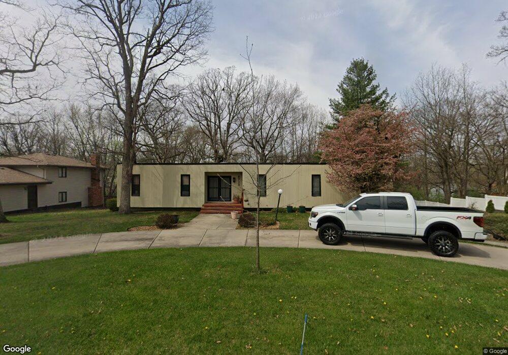
8712 Durbin Ln Crown Point, IN 46307
Estimated Value: $352,455 - $432,000
5
Beds
3
Baths
2,212
Sq Ft
$174/Sq Ft
Est. Value
About This Home
This home is located at 8712 Durbin Ln, Crown Point, IN 46307 and is currently estimated at $384,614, approximately $173 per square foot. 8712 Durbin Ln is a home located in Lake County with nearby schools including Hal E Clark Middle School, Peifer Elementary School, and Lake Central High School.
Ownership History
Date
Name
Owned For
Owner Type
Purchase Details
Closed on
Jan 4, 2022
Sold by
Vest Donald E
Bought by
Vest Brian C and Vest Todd A
Current Estimated Value
Purchase Details
Closed on
Oct 29, 2021
Sold by
Vest Donald E
Bought by
Vest Brian C and Vest Todd A
Purchase Details
Closed on
Apr 21, 2009
Sold by
Vest Donald E and Vest Donald E
Bought by
Vest Donald E
Home Financials for this Owner
Home Financials are based on the most recent Mortgage that was taken out on this home.
Original Mortgage
$71,500
Interest Rate
5.05%
Mortgage Type
New Conventional
Create a Home Valuation Report for This Property
The Home Valuation Report is an in-depth analysis detailing your home's value as well as a comparison with similar homes in the area
Home Values in the Area
Average Home Value in this Area
Purchase History
| Date | Buyer | Sale Price | Title Company |
|---|---|---|---|
| Vest Brian C | -- | Stout Law Firm | |
| Vest Brian C | -- | Stout Law Firm | |
| Vest Donald E | -- | Chicago Title Insurance Co |
Source: Public Records
Mortgage History
| Date | Status | Borrower | Loan Amount |
|---|---|---|---|
| Previous Owner | Vest Donald E | $71,500 |
Source: Public Records
Tax History Compared to Growth
Tax History
| Year | Tax Paid | Tax Assessment Tax Assessment Total Assessment is a certain percentage of the fair market value that is determined by local assessors to be the total taxable value of land and additions on the property. | Land | Improvement |
|---|---|---|---|---|
| 2024 | $6,388 | $334,000 | $68,400 | $265,600 |
| 2023 | $5,510 | $313,700 | $68,400 | $245,300 |
| 2022 | $2,817 | $284,600 | $68,400 | $216,200 |
| 2021 | $2,587 | $268,400 | $68,400 | $200,000 |
| 2020 | $2,562 | $260,700 | $68,400 | $192,300 |
| 2019 | $2,461 | $233,700 | $50,300 | $183,400 |
| 2018 | $2,425 | $228,600 | $48,700 | $179,900 |
| 2017 | $2,239 | $224,200 | $48,700 | $175,500 |
| 2016 | $2,058 | $209,700 | $48,700 | $161,000 |
| 2014 | $1,710 | $189,900 | $48,700 | $141,200 |
| 2013 | $1,758 | $189,900 | $48,700 | $141,200 |
Source: Public Records
Map
Nearby Homes
- 8748 Durbin Ln
- 5063 W 89th Ct
- 9017 Mathews St
- 4944 W 89th Terrace
- 4930 W 84th Terrace
- 8849 Calhoun Place
- 6076 Wexford Way
- 5012 W 92nd Ave
- 4862 W 92nd Ave
- 5547 Maggie Mae Ct
- 5544 Maggie Mae Ct
- 9251 Clark Place
- 9195 Williams St
- 6440 W 89th Ave
- 6501 W 89th Ave
- 4229 W 92nd Place
- 5480 Victoria Place
- 9204 Wright St
- 6308 W 91st Ave
- 8109 Victoria Place
- 8724 Durbin Ln
- 8700 Durbin Ln
- 8715 Hanley Ln
- 8705 Hanley Ln
- 8711 Durbin Ln
- 8723 Durbin Ln
- 8736 Durbin Ln
- 8690 Durbin Ln
- 8735 Hanley Ln
- 8693 Durbin Ln
- 8697 Hanley Ln
- 8743 Durbin Ln
- 8720 Mathews St
- 8755 Hanley Ln
- 8704 Mathews St
- 8674 Durbin Ln
- 8681 Durbin Ln
- 8706 Hanley Ln
- 5488 W 87th Ct
- 8752 Mathews St