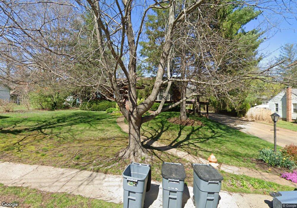
8712 Pardee Ln Saint Louis, MO 63126
Estimated Value: $339,000 - $409,728
3
Beds
2
Baths
1,620
Sq Ft
$239/Sq Ft
Est. Value
About This Home
This home is located at 8712 Pardee Ln, Saint Louis, MO 63126 and is currently estimated at $387,182, approximately $239 per square foot. 8712 Pardee Ln is a home located in St. Louis County with nearby schools including Long Elementary, Truman Middle School, and Lindbergh High School.
Ownership History
Date
Name
Owned For
Owner Type
Purchase Details
Closed on
Apr 23, 2010
Sold by
Twyman Jessica A and Twyman Jeffrey
Bought by
Frank Matthew J and Frank Tena K
Current Estimated Value
Home Financials for this Owner
Home Financials are based on the most recent Mortgage that was taken out on this home.
Original Mortgage
$180,402
Outstanding Balance
$122,631
Interest Rate
5.5%
Mortgage Type
FHA
Estimated Equity
$264,551
Purchase Details
Closed on
Nov 18, 1998
Sold by
Wisniewski Shirley K
Bought by
Wisniewski Richard H
Create a Home Valuation Report for This Property
The Home Valuation Report is an in-depth analysis detailing your home's value as well as a comparison with similar homes in the area
Home Values in the Area
Average Home Value in this Area
Purchase History
| Date | Buyer | Sale Price | Title Company |
|---|---|---|---|
| Frank Matthew J | $197,000 | Atc | |
| Wisniewski Richard H | -- | -- |
Source: Public Records
Mortgage History
| Date | Status | Borrower | Loan Amount |
|---|---|---|---|
| Open | Frank Matthew J | $180,402 |
Source: Public Records
Tax History Compared to Growth
Tax History
| Year | Tax Paid | Tax Assessment Tax Assessment Total Assessment is a certain percentage of the fair market value that is determined by local assessors to be the total taxable value of land and additions on the property. | Land | Improvement |
|---|---|---|---|---|
| 2025 | $4,316 | $66,710 | $29,090 | $37,620 |
| 2024 | $4,316 | $62,170 | $29,090 | $33,080 |
| 2023 | $4,316 | $54,250 | $29,090 | $25,160 |
| 2022 | $3,514 | $48,740 | $29,090 | $19,650 |
| 2021 | $3,202 | $48,740 | $29,090 | $19,650 |
| 2020 | $2,971 | $43,590 | $19,630 | $23,960 |
| 2019 | $2,963 | $43,590 | $19,630 | $23,960 |
| 2018 | $2,723 | $36,280 | $11,100 | $25,180 |
| 2017 | $2,694 | $36,280 | $11,100 | $25,180 |
| 2016 | $2,237 | $30,460 | $10,280 | $20,180 |
| 2015 | $2,249 | $30,460 | $10,280 | $20,180 |
| 2014 | $2,207 | $29,560 | $6,420 | $23,140 |
Source: Public Records
Map
Nearby Homes
- 8907 Grantway Ct
- 7919 Royal Arms Ct Unit 2
- 51 Blackthorn Dr
- 1666 Crabapple Ln
- 9412 Lodge Pole Ln
- 8673 General Grant Ln
- 7929 S Rock Hill Rd
- 1542 Grant Rd
- 7925 S Rock Hill Rd
- 7927 S Rock Hill Rd
- 8563 Watson Rd
- 7639 Capilia Dr
- 8563 Old Sappington Rd
- 614 Conover Ln
- 689 Conover Ln
- 450 Forest Green Dr
- 7705 Cheshire Ln
- 1463 Ronald Dr
- 15 Webster Oaks Dr
- 8261 Watson Rd