8714 Compton Rd Waynesville, OH 45068
Wayne Township NeighborhoodEstimated Value: $282,007 - $546,000
3
Beds
2
Baths
1,146
Sq Ft
$329/Sq Ft
Est. Value
About This Home
This home is located at 8714 Compton Rd, Waynesville, OH 45068 and is currently estimated at $377,502, approximately $329 per square foot. 8714 Compton Rd is a home located in Warren County with nearby schools including Waynesville Elementary School, Waynesville Middle School, and Waynesville High School.
Ownership History
Date
Name
Owned For
Owner Type
Purchase Details
Closed on
May 23, 2024
Sold by
Agnew Thomas G and Agnew Debra L
Bought by
Agnew Joint Revocable Living Trust and Agnew
Current Estimated Value
Purchase Details
Closed on
Sep 14, 2000
Sold by
Pinion Douglas
Bought by
Earl Patricia J and Earl Larry B
Home Financials for this Owner
Home Financials are based on the most recent Mortgage that was taken out on this home.
Original Mortgage
$92,700
Interest Rate
8.14%
Mortgage Type
New Conventional
Purchase Details
Closed on
May 27, 1994
Sold by
Carr Mary E. Aka and Carr Mary E
Bought by
Pinion and Pinion Doug
Purchase Details
Closed on
Sep 23, 1993
Sold by
Carr Robert E and Carr Mary E.
Bought by
Carr and Carr Mary E
Create a Home Valuation Report for This Property
The Home Valuation Report is an in-depth analysis detailing your home's value as well as a comparison with similar homes in the area
Home Values in the Area
Average Home Value in this Area
Purchase History
| Date | Buyer | Sale Price | Title Company |
|---|---|---|---|
| Agnew Joint Revocable Living Trust | -- | None Listed On Document | |
| Earl Patricia J | $103,000 | -- | |
| Pinion | $19,900 | -- | |
| Carr | -- | -- |
Source: Public Records
Mortgage History
| Date | Status | Borrower | Loan Amount |
|---|---|---|---|
| Previous Owner | Earl Patricia J | $92,700 |
Source: Public Records
Tax History Compared to Growth
Tax History
| Year | Tax Paid | Tax Assessment Tax Assessment Total Assessment is a certain percentage of the fair market value that is determined by local assessors to be the total taxable value of land and additions on the property. | Land | Improvement |
|---|---|---|---|---|
| 2024 | $1,853 | $61,480 | $13,860 | $47,620 |
| 2023 | $1,550 | $49,199 | $7,105 | $42,094 |
| 2022 | $1,511 | $49,200 | $7,105 | $42,095 |
| 2021 | $1,364 | $49,200 | $7,105 | $42,095 |
| 2020 | $1,293 | $39,998 | $5,775 | $34,223 |
| 2019 | $1,316 | $39,998 | $5,775 | $34,223 |
| 2018 | $1,333 | $39,998 | $5,775 | $34,223 |
| 2017 | $1,061 | $31,073 | $5,401 | $25,673 |
| 2016 | $1,092 | $31,073 | $5,401 | $25,673 |
| 2015 | $1,092 | $31,073 | $5,401 | $25,673 |
| 2014 | $1,054 | $29,040 | $5,050 | $23,990 |
| 2013 | $1,082 | $33,230 | $5,780 | $27,450 |
Source: Public Records
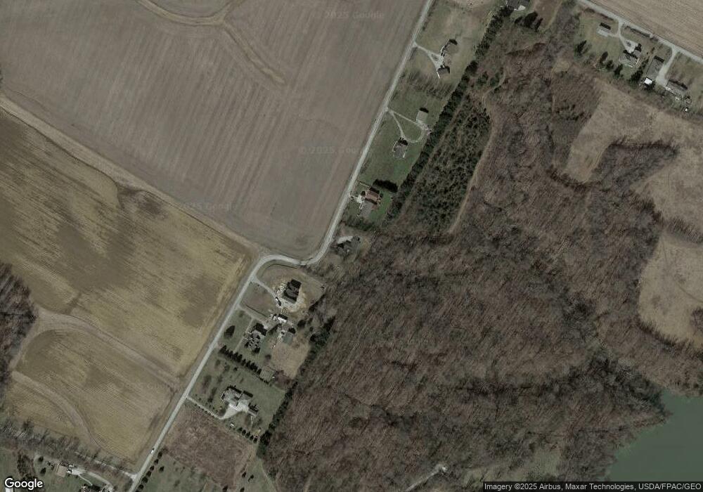
Map
Nearby Homes
- 8648 Compton Rd
- 9052 Wilson Rd
- 8760 State Route 380
- 9500 Collett Rd Unit 20
- 8881 Route 42
- 6329 State Route 380
- 9 Cumberland Ct
- 10031 Ohio 73
- 7364 Cook Jones Rd
- 116 Maple St
- 2 Acres Mount Holly Rd
- 7902 N US Rt 42
- 9161 Old Stage Rd
- 668 New Burlington Rd
- 196 Mound St
- 8519 Old Stage Rd
- 4245 Harveysburg Rd
- 4167 Harveysburg Rd
- 0A Old Winchester Trail
- 0B Old Winchester Trail
- 8742 Compton Rd
- 8668 Compton Rd
- 8810 Compton Rd
- 8824 Compton Rd
- 8606 Compton Rd
- 8847 Compton Rd
- 8842 Compton Rd
- 10776 Young Rd
- 10676 New Burlington Rd
- 8520 Compton Rd
- 10844 Young Rd
- 10920 Young Rd
- 8517 Compton Rd
- 10950 Young Rd
- 10460 New Burlington Rd
- 10426 New Burlington Rd
- 10212 New Burlington Rd
- 10190 New Burlington Rd
- 636 Mound Rd
- 504 Mound Rd