8716 Maryland Pkwy Chestertown, MD 21620
Estimated Value: $352,000 - $514,000
--
Bed
3
Baths
2,028
Sq Ft
$203/Sq Ft
Est. Value
About This Home
This home is located at 8716 Maryland Pkwy, Chestertown, MD 21620 and is currently estimated at $412,535, approximately $203 per square foot. 8716 Maryland Pkwy is a home located in Kent County with nearby schools including Center for Innovation, Kent County Middle School, and Kent County High School.
Ownership History
Date
Name
Owned For
Owner Type
Purchase Details
Closed on
Aug 29, 2007
Sold by
Wilson Taylor Builders Llc
Bought by
Kidd Aimee William L
Current Estimated Value
Home Financials for this Owner
Home Financials are based on the most recent Mortgage that was taken out on this home.
Original Mortgage
$259,200
Outstanding Balance
$165,532
Interest Rate
6.74%
Mortgage Type
Purchase Money Mortgage
Estimated Equity
$247,003
Purchase Details
Closed on
Dec 12, 2003
Sold by
Mcsorley Samuel and Mcsorley Dorothea M
Bought by
Wilson Taylor Builders Llc
Create a Home Valuation Report for This Property
The Home Valuation Report is an in-depth analysis detailing your home's value as well as a comparison with similar homes in the area
Home Values in the Area
Average Home Value in this Area
Purchase History
| Date | Buyer | Sale Price | Title Company |
|---|---|---|---|
| Kidd Aimee William L | $324,000 | -- | |
| Wilson Taylor Builders Llc | $30,000 | -- |
Source: Public Records
Mortgage History
| Date | Status | Borrower | Loan Amount |
|---|---|---|---|
| Open | Kidd Aimee William L | $259,200 |
Source: Public Records
Tax History Compared to Growth
Tax History
| Year | Tax Paid | Tax Assessment Tax Assessment Total Assessment is a certain percentage of the fair market value that is determined by local assessors to be the total taxable value of land and additions on the property. | Land | Improvement |
|---|---|---|---|---|
| 2025 | $3,324 | $298,333 | $0 | $0 |
| 2024 | $3,159 | $278,600 | $52,400 | $226,200 |
| 2023 | $3,072 | $270,867 | $0 | $0 |
| 2022 | $2,958 | $263,133 | $0 | $0 |
| 2021 | $2,880 | $255,400 | $52,400 | $203,000 |
| 2020 | $2,880 | $253,933 | $0 | $0 |
| 2019 | $2,863 | $252,467 | $0 | $0 |
| 2018 | $2,846 | $251,000 | $52,400 | $198,600 |
| 2017 | $2,846 | $251,000 | $0 | $0 |
| 2016 | -- | $251,000 | $0 | $0 |
| 2015 | $3,285 | $256,100 | $0 | $0 |
| 2014 | $3,285 | $256,100 | $0 | $0 |
Source: Public Records
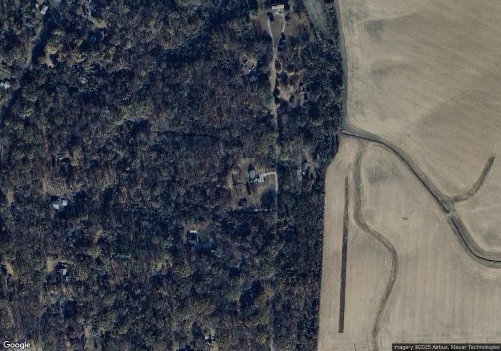
Map
Nearby Homes
- 0 Elm Rd
- 0 Montgomery Unit MDKE2003418
- 21111 Texas Ave
- 8620 Park Dr
- 21316 Persimmon Dr
- 0 Caulks Field Rd Unit MDKE2002846
- 0 Caulks Field Rd Unit MDKE2005120
- 0 Georgetown Rd SE Unit MDKE2005218
- 0 Georgetown Rd SE Unit MDKE2005076
- 0 Georgetown Rd SE Unit MDKE2005844
- 8833 Georgetown Rd
- 0 Rd
- 8750 Georgetown Rd
- 0 Fairlee Rd
- 23043 Bay Shore Spur
- 23069 Raleigh Rd
- 10230 John Carvill Rd
- 23110 Old Fairlee Rd
- 7224 Rock Hall Rd
- 0 Lot 30 Hagy Rd
- 8698 Maryland Pkwy
- 8727 Maryland Pkwy
- 8688 Maryland Pkwy
- 8776 Maryland Pkwy
- 8766 Maryland Pkwy
- 21425 Belair Ave
- 21357 Belair Ave
- 8656 Maryland Pkwy
- 8687 Poplar St
- 21457 Belair Ave
- 8696 Poplar St
- 0 Belair Ave
- 8668 Poplar St
- 8796 Maryland Pkwy
- 8610 Fall St
- 21300 Belair Ave
- 8725 Oak St
- 21244 Iowa Ave
- 8697 Oak St
- 21322 Tolchester Beach Rd