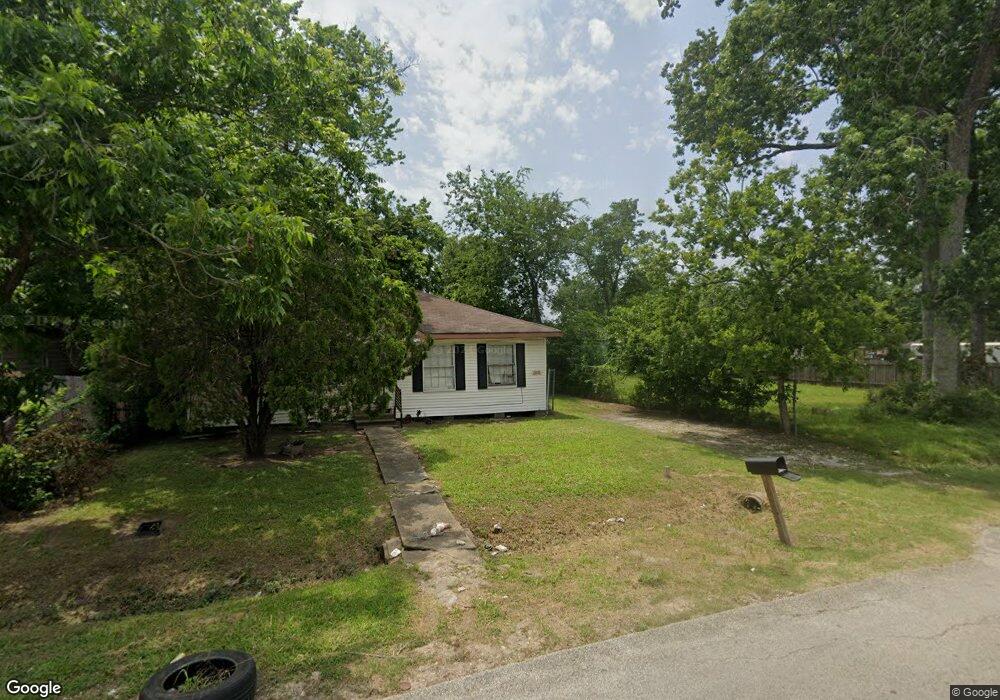
8717 Knox St Houston, TX 77088
Acres Homes NeighborhoodEstimated Value: $198,672 - $277,000
3
Beds
1
Bath
1,844
Sq Ft
$122/Sq Ft
Est. Value
About This Home
This home is located at 8717 Knox St, Houston, TX 77088 and is currently estimated at $224,918, approximately $121 per square foot. 8717 Knox St is a home located in Harris County with nearby schools including Osborne Elementary School, Williams Middle, and Booker T Washington Sr High.
Ownership History
Date
Name
Owned For
Owner Type
Purchase Details
Closed on
Aug 30, 2013
Sold by
Spencer Craig Anthony and Spencer Phillipa Andrea
Bought by
Houston Francene Carol
Current Estimated Value
Purchase Details
Closed on
Aug 5, 2013
Sold by
Spencer Craig Anthony and Spencer Phillipa Andrea
Bought by
Houston Francene Carol
Purchase Details
Closed on
Dec 4, 2007
Sold by
Houston Dierdra Elaine
Bought by
Houston Carol Francene
Create a Home Valuation Report for This Property
The Home Valuation Report is an in-depth analysis detailing your home's value as well as a comparison with similar homes in the area
Home Values in the Area
Average Home Value in this Area
Purchase History
| Date | Buyer | Sale Price | Title Company |
|---|---|---|---|
| Houston Francene Carol | -- | None Available | |
| Houston Francene Carol | -- | None Available | |
| Houston Carol Francene | -- | None Available |
Source: Public Records
Tax History Compared to Growth
Tax History
| Year | Tax Paid | Tax Assessment Tax Assessment Total Assessment is a certain percentage of the fair market value that is determined by local assessors to be the total taxable value of land and additions on the property. | Land | Improvement |
|---|---|---|---|---|
| 2025 | $3,139 | $149,377 | $86,400 | $62,977 |
| 2024 | $3,139 | $150,007 | $86,400 | $63,607 |
| 2023 | $3,054 | $151,559 | $86,400 | $65,159 |
| 2022 | $3,085 | $140,115 | $59,400 | $80,715 |
| 2021 | $2,186 | $93,801 | $36,000 | $57,801 |
| 2020 | $2,147 | $88,642 | $32,400 | $56,242 |
| 2019 | $1,999 | $79,000 | $25,200 | $53,800 |
| 2018 | $1,674 | $66,165 | $14,400 | $51,765 |
| 2017 | $1,494 | $59,104 | $14,400 | $44,704 |
| 2016 | $1,494 | $59,104 | $14,400 | $44,704 |
| 2015 | $1,056 | $59,754 | $14,400 | $45,354 |
| 2014 | $1,056 | $59,754 | $14,400 | $45,354 |
Source: Public Records
Map
Nearby Homes
- 8709 Knox St
- 1028 Marcolin St
- 1030 Marcolin St
- 1032 Marcolin St
- 1034 Marcolin St
- 8606 Prairie View Dr
- 1054 Dewalt St
- 1043 Conklin St
- 1038 Randolph St
- 1826 Dewalt St
- 1559 Diplomat Way
- 2018 Dewalt St
- 0 Grenshaw
- 958 Conklin St
- 9010 Wheatley St
- 1031 North Ln
- 0 Marcolin St
- 9206 Ab Wheatley St
- 8308 Prairie View Dr
- 1203 Dewalt St
- 8715 Knox St
- 8715 Knox St Unit B
- 8715 Knox St Unit A
- 1039 Ellington St
- 8713 Knox St
- 1033 Ellington St
- 8806 Knox St
- 8808 Knox St
- 8804 Knox St
- 8810 Knox St
- 8709 Knox St Unit B
- 8709 Knox St Unit A
- 1027 Ellington St
- 1018 Grenshaw St
- 1021 Grenshaw St Unit AB
- 1021 Grenshaw St Unit 1-2
- 1021 Grenshaw St Unit B
- 1021 Grenshaw St Unit A
- 1049 Ellington St
- 8705 Knox St