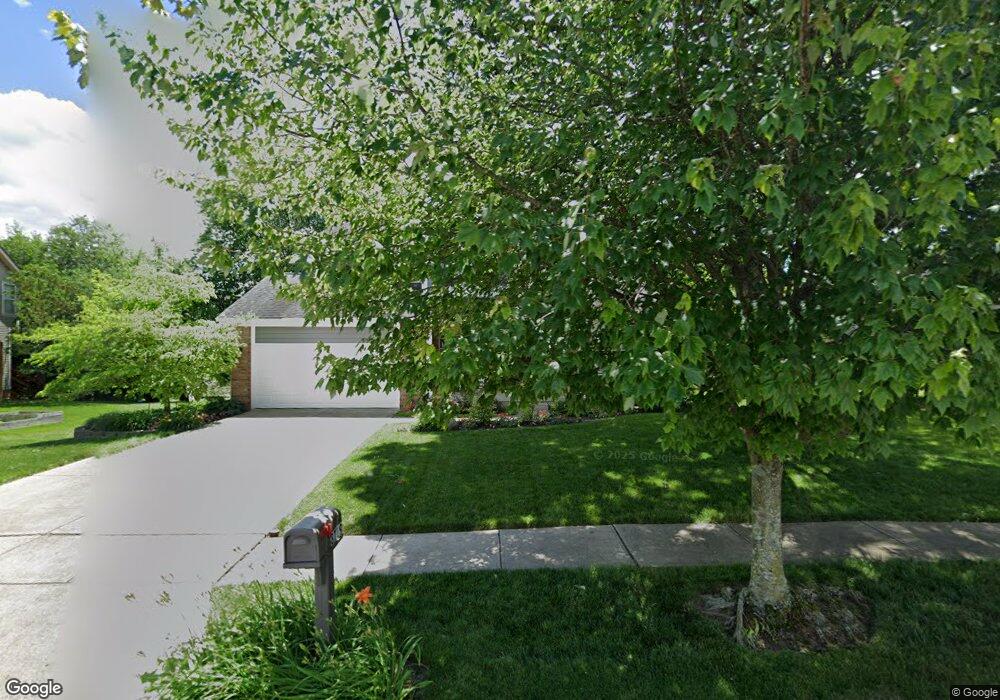
8719 Taylor Woods Dr Reynoldsburg, OH 43068
Taylor Ridge NeighborhoodEstimated Value: $382,160 - $417,000
3
Beds
3
Baths
2,235
Sq Ft
$178/Sq Ft
Est. Value
About This Home
This home is located at 8719 Taylor Woods Dr, Reynoldsburg, OH 43068 and is currently estimated at $397,040, approximately $177 per square foot. 8719 Taylor Woods Dr is a home located in Licking County with nearby schools including Taylor Road Elementary School, Waggoner Road Elementary School, and Waggoner Road Junior High School.
Ownership History
Date
Name
Owned For
Owner Type
Purchase Details
Closed on
Jun 13, 1994
Sold by
Deluxe Homes Of Ohio Inc
Bought by
Brocwell Jeffrey D and Brocwell Carol J
Current Estimated Value
Home Financials for this Owner
Home Financials are based on the most recent Mortgage that was taken out on this home.
Original Mortgage
$115,000
Interest Rate
5.75%
Mortgage Type
New Conventional
Create a Home Valuation Report for This Property
The Home Valuation Report is an in-depth analysis detailing your home's value as well as a comparison with similar homes in the area
Home Values in the Area
Average Home Value in this Area
Purchase History
| Date | Buyer | Sale Price | Title Company |
|---|---|---|---|
| Brocwell Jeffrey D | $143,760 | -- |
Source: Public Records
Mortgage History
| Date | Status | Borrower | Loan Amount |
|---|---|---|---|
| Closed | Brocwell Jeffrey D | $115,000 |
Source: Public Records
Tax History Compared to Growth
Tax History
| Year | Tax Paid | Tax Assessment Tax Assessment Total Assessment is a certain percentage of the fair market value that is determined by local assessors to be the total taxable value of land and additions on the property. | Land | Improvement |
|---|---|---|---|---|
| 2024 | $4,560 | $123,760 | $27,650 | $96,110 |
| 2023 | $4,575 | $123,760 | $27,650 | $96,110 |
| 2022 | $4,215 | $90,940 | $22,300 | $68,640 |
| 2021 | $4,213 | $90,940 | $22,300 | $68,640 |
| 2020 | $4,314 | $90,940 | $22,300 | $68,640 |
| 2019 | $3,849 | $72,560 | $15,370 | $57,190 |
| 2018 | $3,872 | $0 | $0 | $0 |
| 2017 | $3,580 | $0 | $0 | $0 |
| 2016 | $3,441 | $0 | $0 | $0 |
| 2015 | $3,330 | $0 | $0 | $0 |
| 2014 | $5,904 | $0 | $0 | $0 |
| 2013 | $3,340 | $0 | $0 | $0 |
Source: Public Records
Map
Nearby Homes
- 937 Quaint Ct
- 947 Cuthbert Ct
- 1066 Celosia Ct
- 8889 Betony Ct SW
- 8697 Kingsley Dr
- 1080 Taylor Mills Dr
- 8876 Amaranth Ct
- 8774 Ormiston Cir
- 738 Tricolor Dr
- 9019 Kingsley Dr
- 917 Mahle Dr
- 1065 Mastell Dr
- 8536 Robbins Loop Dr
- 9054 Jackies Bend
- 8501 Willet Ln Unit 88501
- 8482 Taylor Chase Dr
- 926 Hilton Dr
- 8302 Firstgate Dr
- 1143 Mueller Dr
- 8056 Summit Rd SW
- 908 Quaint Ct
- 8733 Taylor Woods Dr
- 912 Quaint Ct
- 8728 Canada Ct
- 8718 Canada Ct
- 8720 Taylor Woods Dr
- 916 Quaint Ct
- 8730 Taylor Woods Dr
- 8742 Canada Ct
- 8710 Taylor Woods Dr
- 903 Cuthbert Ct
- 909 Cuthbert Ct
- 8717 Canada Ct
- 911 Quaint Ct
- 8700 Taylor Woods Dr
- 8758 Canada Ct
- 8740 Taylor Woods Dr
- 921 Quaint Ct
- 920 Quaint Ct
- 8721 Canada Ct